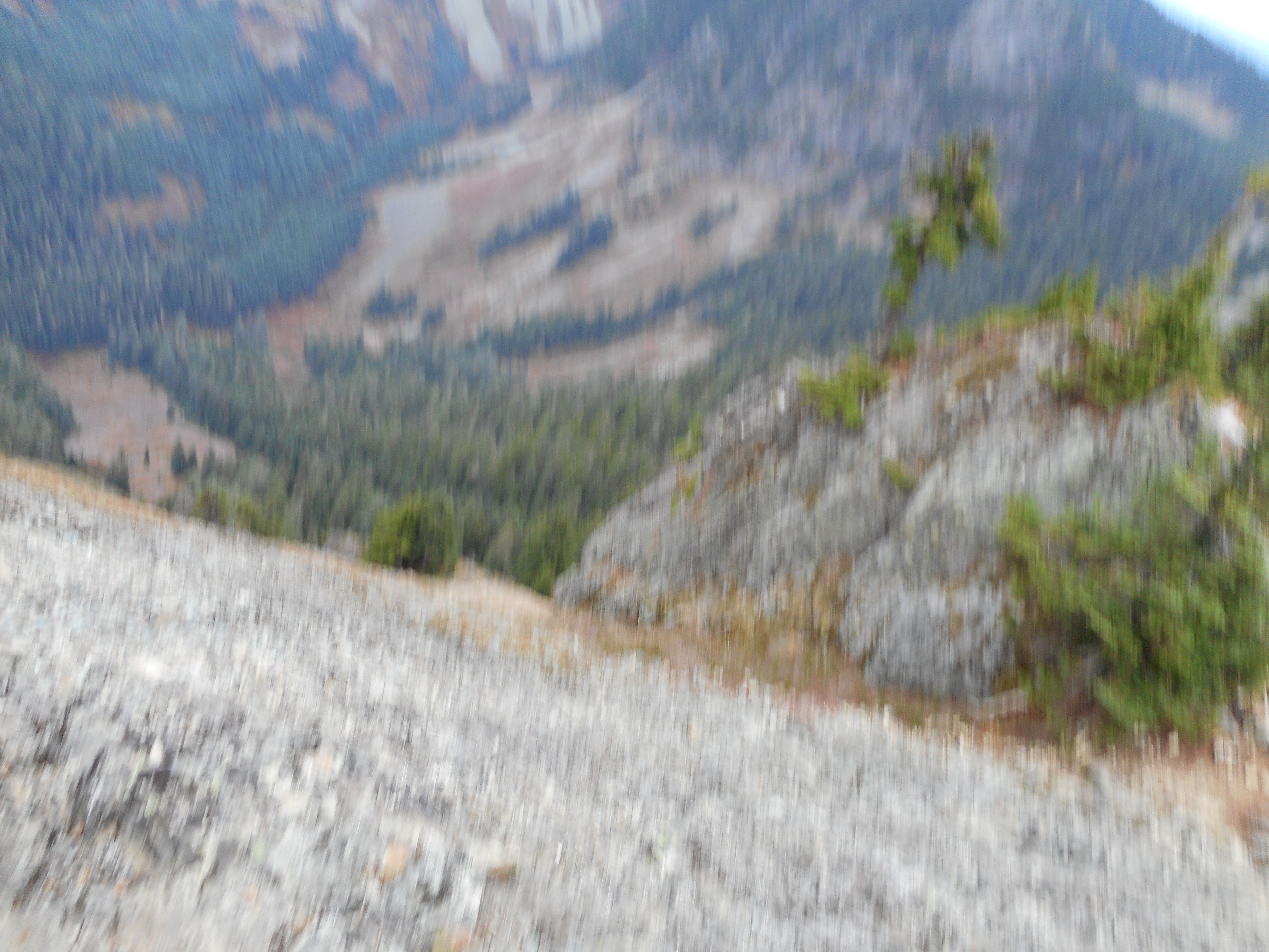
I met up with another hiker not far from the McClellan Butte summit and he said he would show me the safest path up the almost-vertical scramble. So I followed him maybe 1/4 of the way and when I noticed that the natural “steps” were about 2 inches wide and that any slip would be fatal I decided to call it a hike.
I did turn around and, shakily (I was more or less petrified) took a photo looking down. Enough said. I made it back.
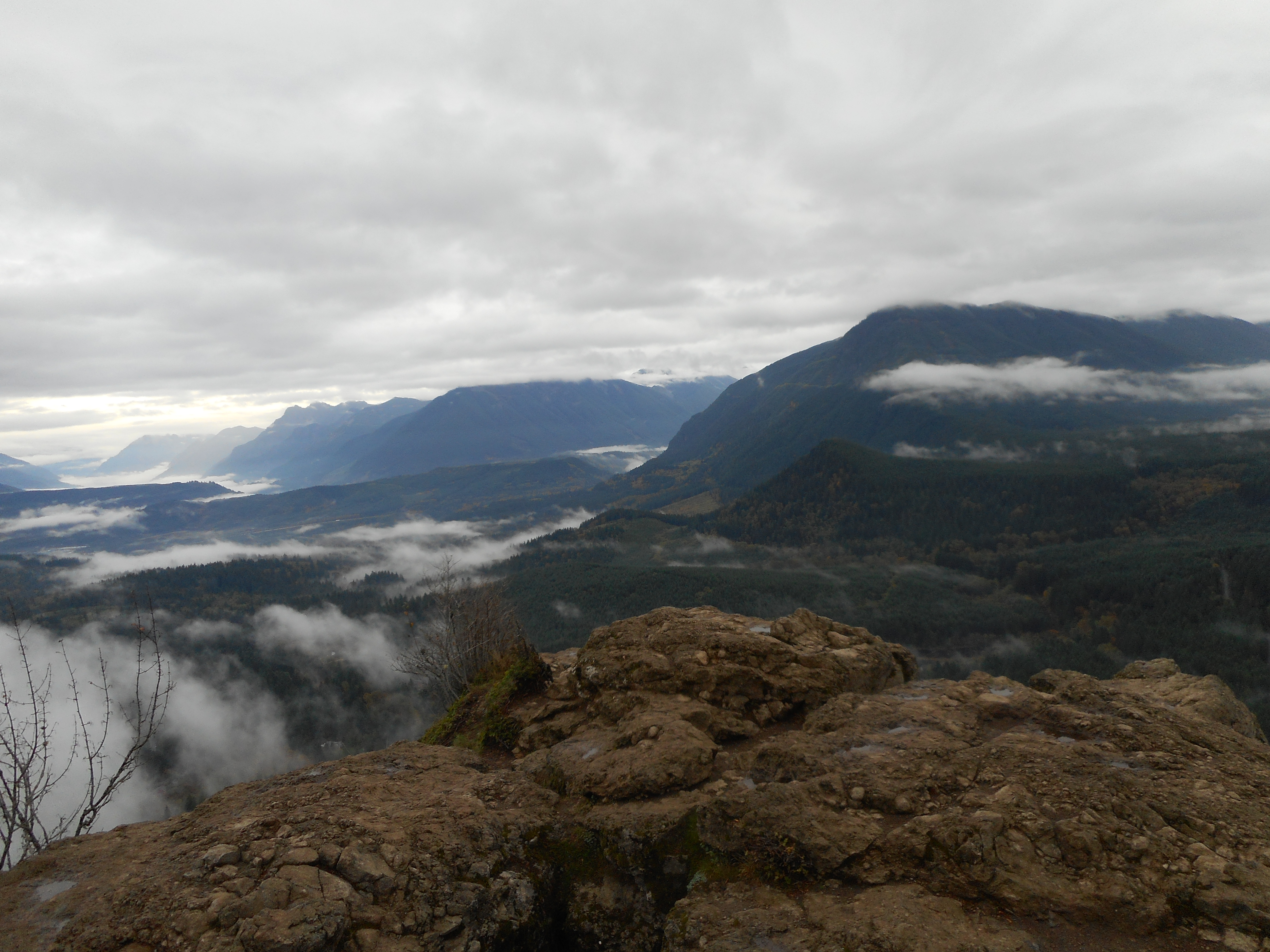
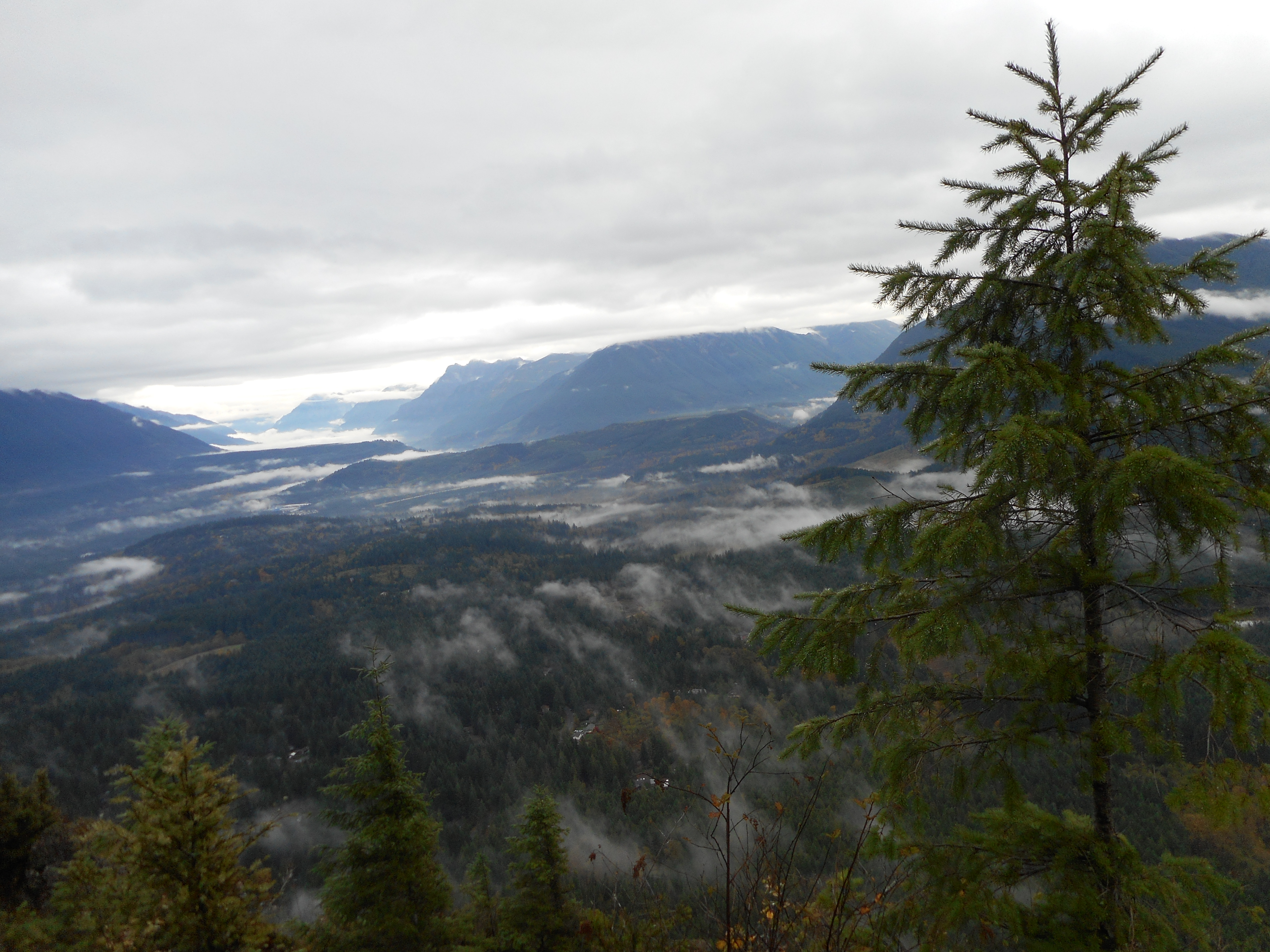
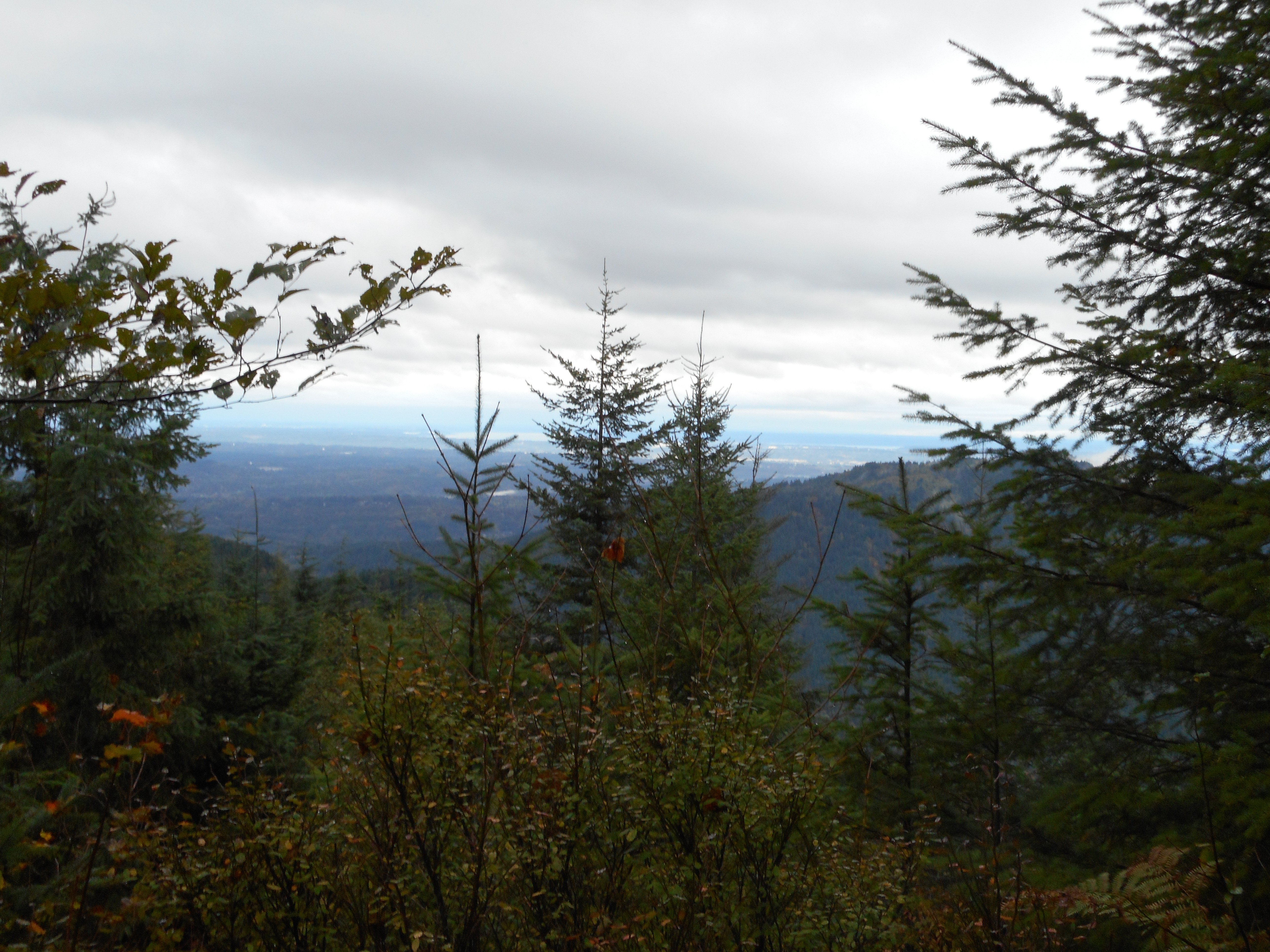
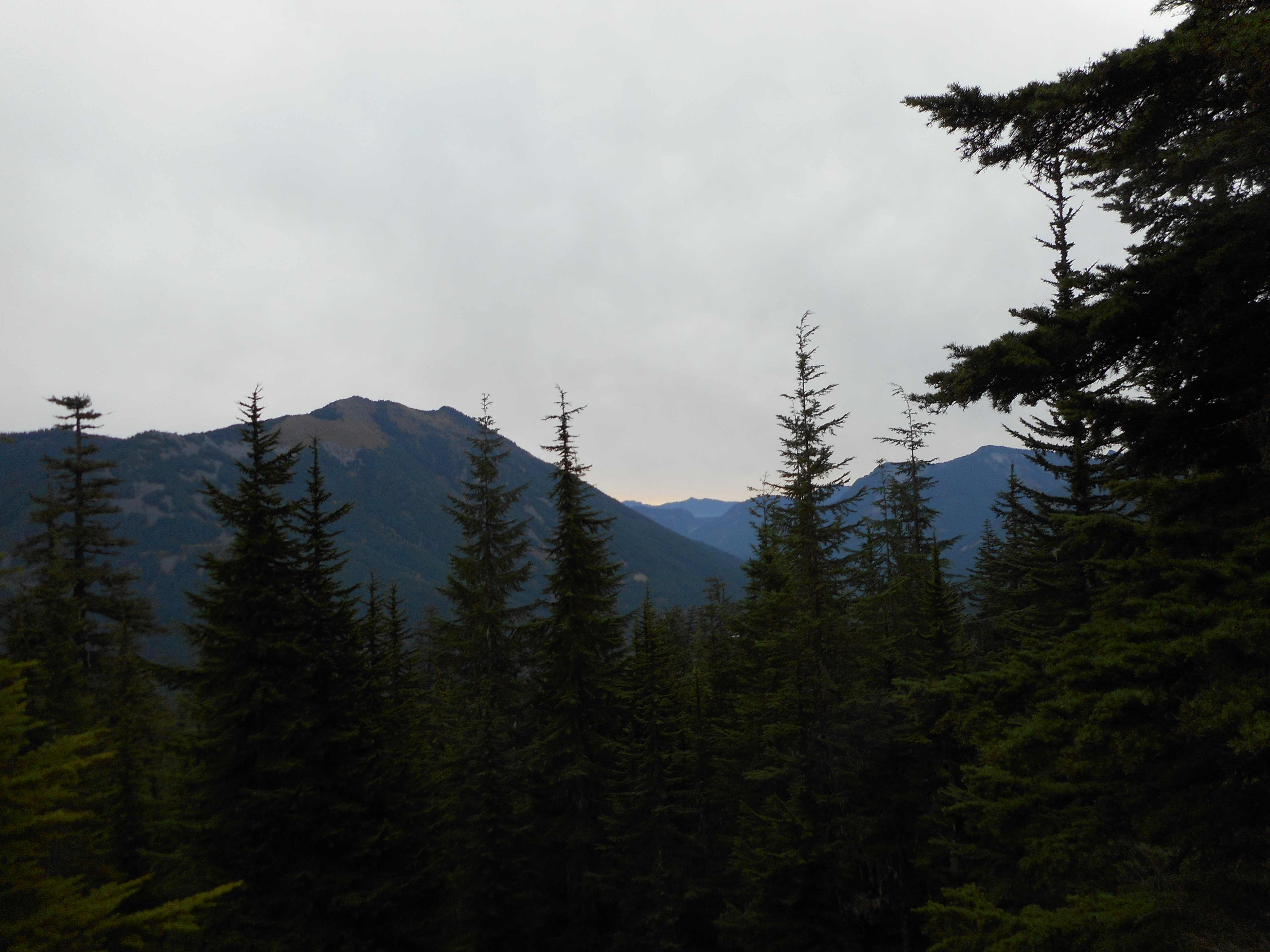
McClellan Butte is such a wonderful hike – really a great workout and plenty of nice views:
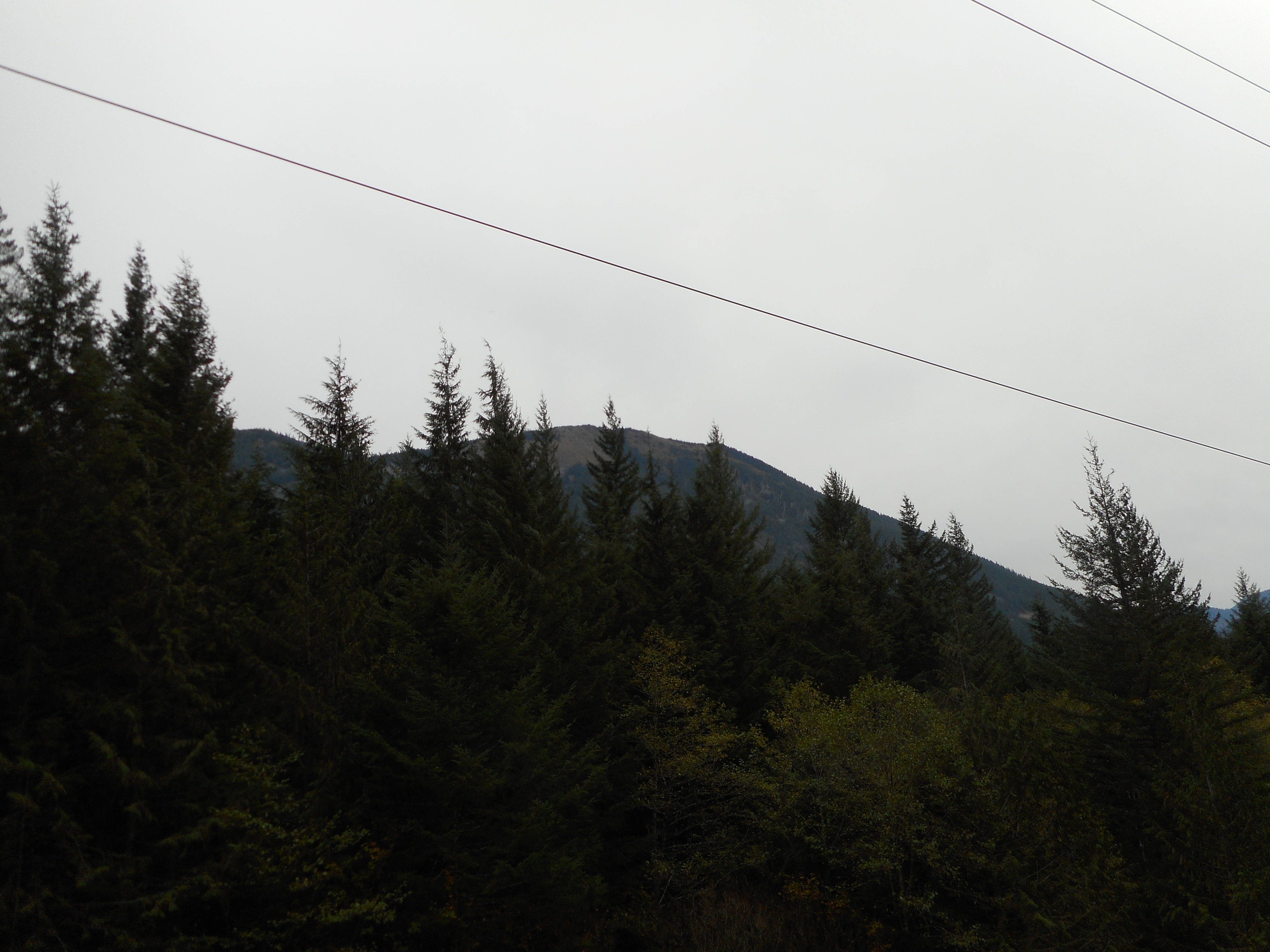
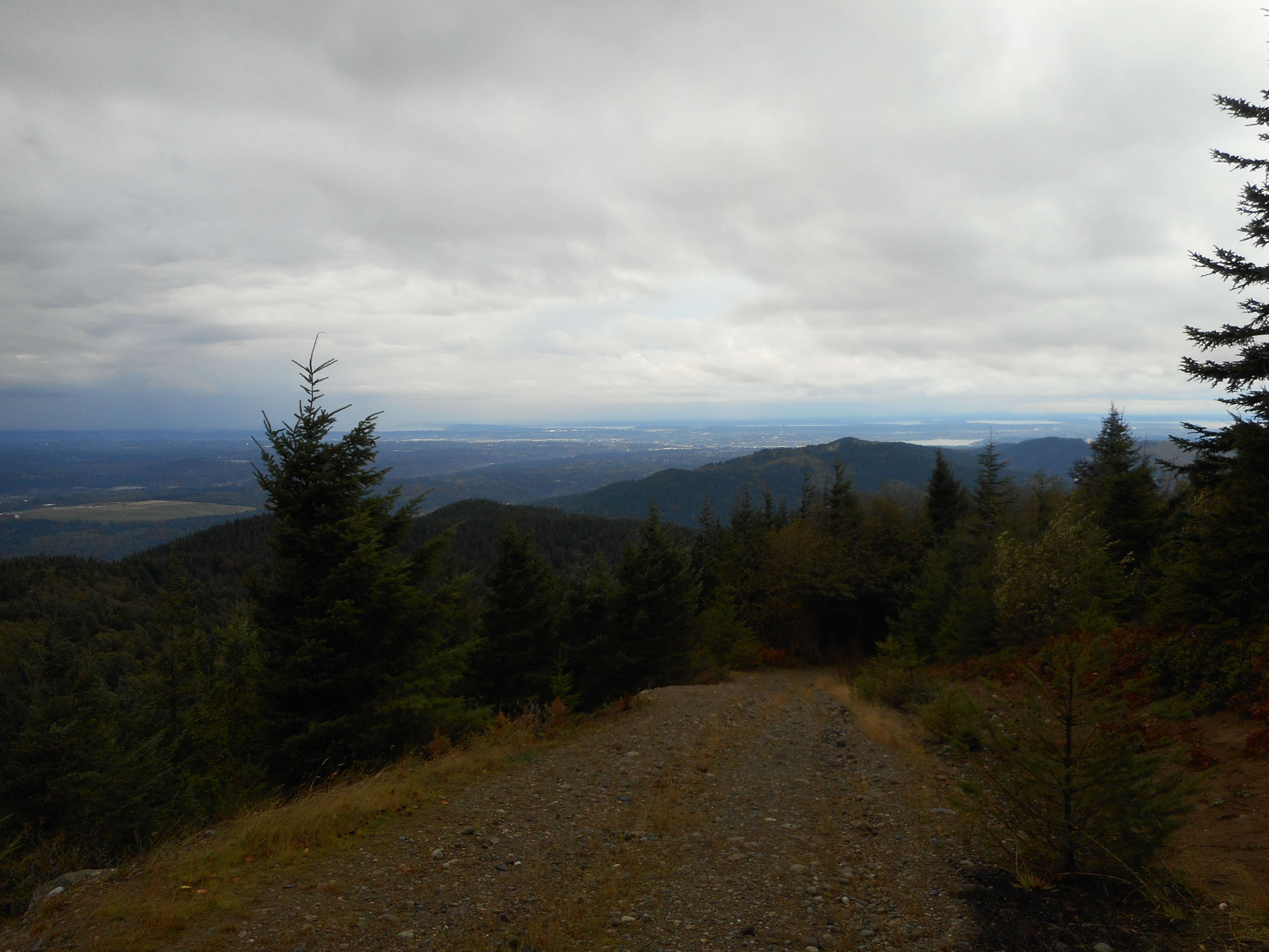
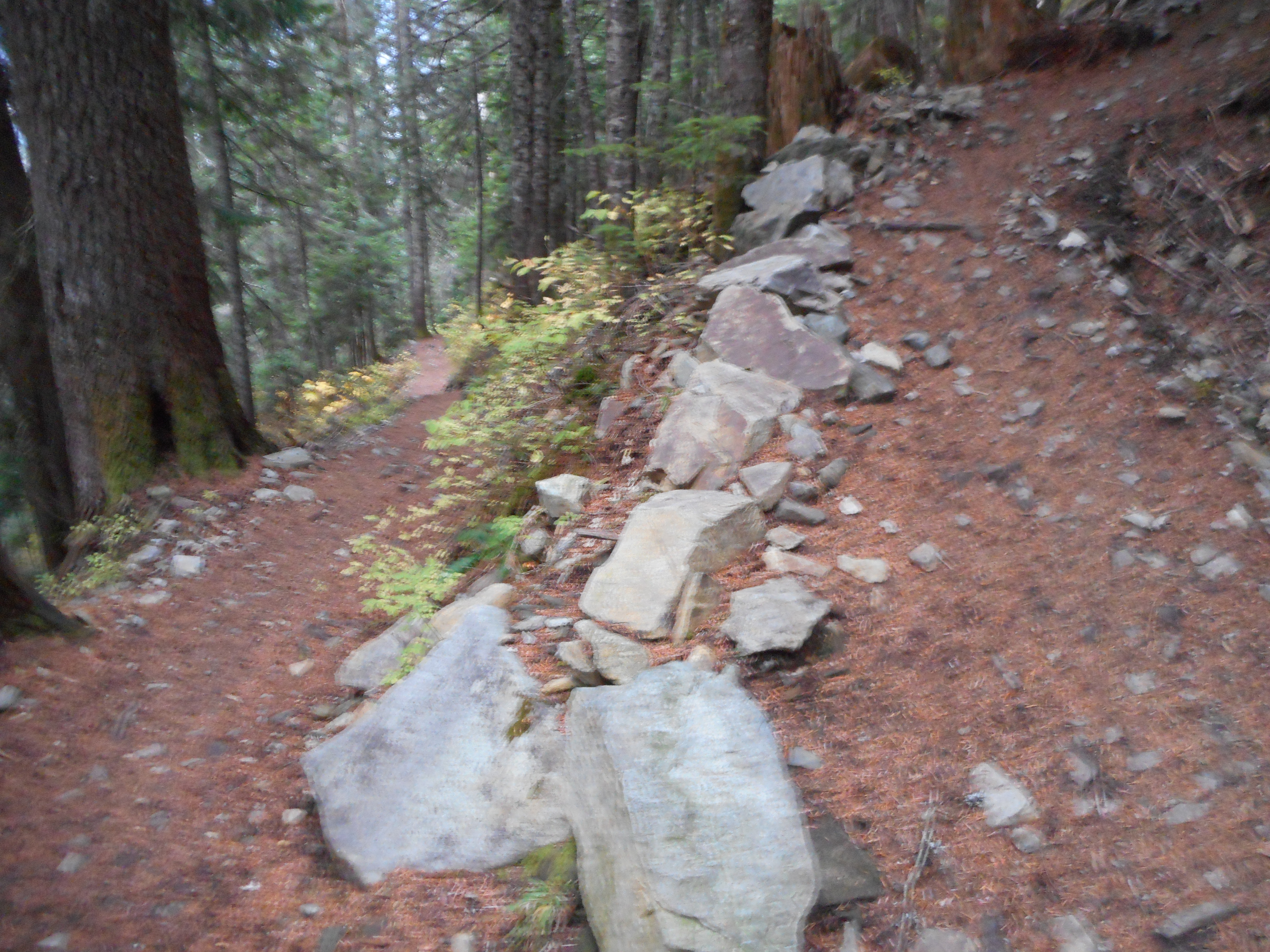
One noteworthy aspect of this trail is the switchback section. I cannot count from the GPX file on the map because they are so thick in some places, but I think there are about 15 switchbacks in the space of about a mile. It is steep! Here is a view from just about the middle of the section:
Total hike today was 10.2 miles round trip, 3550 feet of elevation gain, 5 hours and 15 minutes total. Perfect weather, no rain, no hot sun, just great.
I ran into 8 or 9 trail runners today. These are people who RUN all the way up and all the way down. Amazing. I would like to think that I am pretty fit to be able to hike 10 miles up and down a mountain but I am a couch potato compared to the runners.
Respect!
Here is a link to a Garmin ‘adventure’ of the hike so you can see it on a map and look at the elevation profile (for anyone thinking about doing this hike):
http://adventures.garmin.com/en-US/by/djhiker/mcclellan-butte-10-24-15/#.ViwAapXlupo
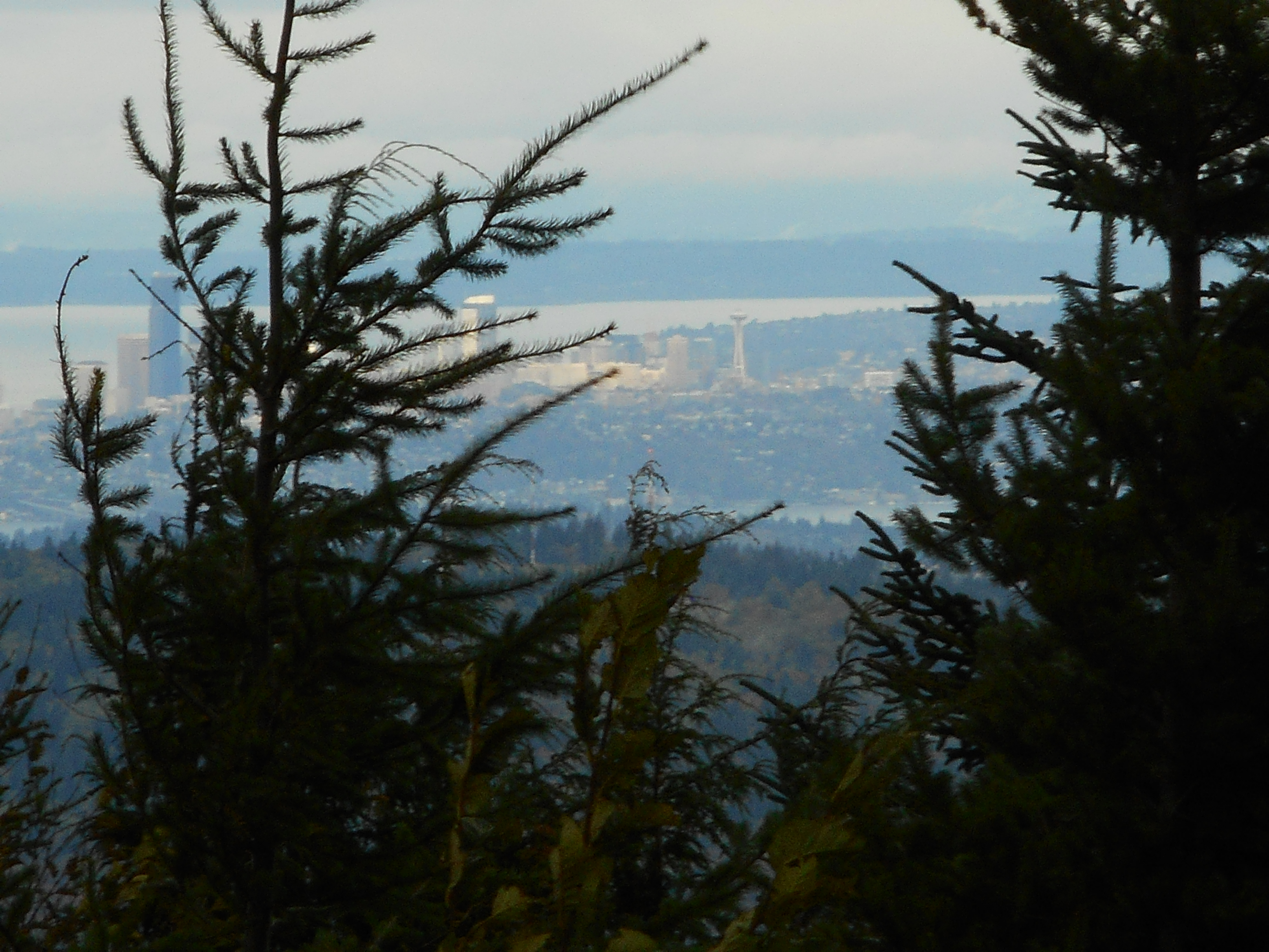
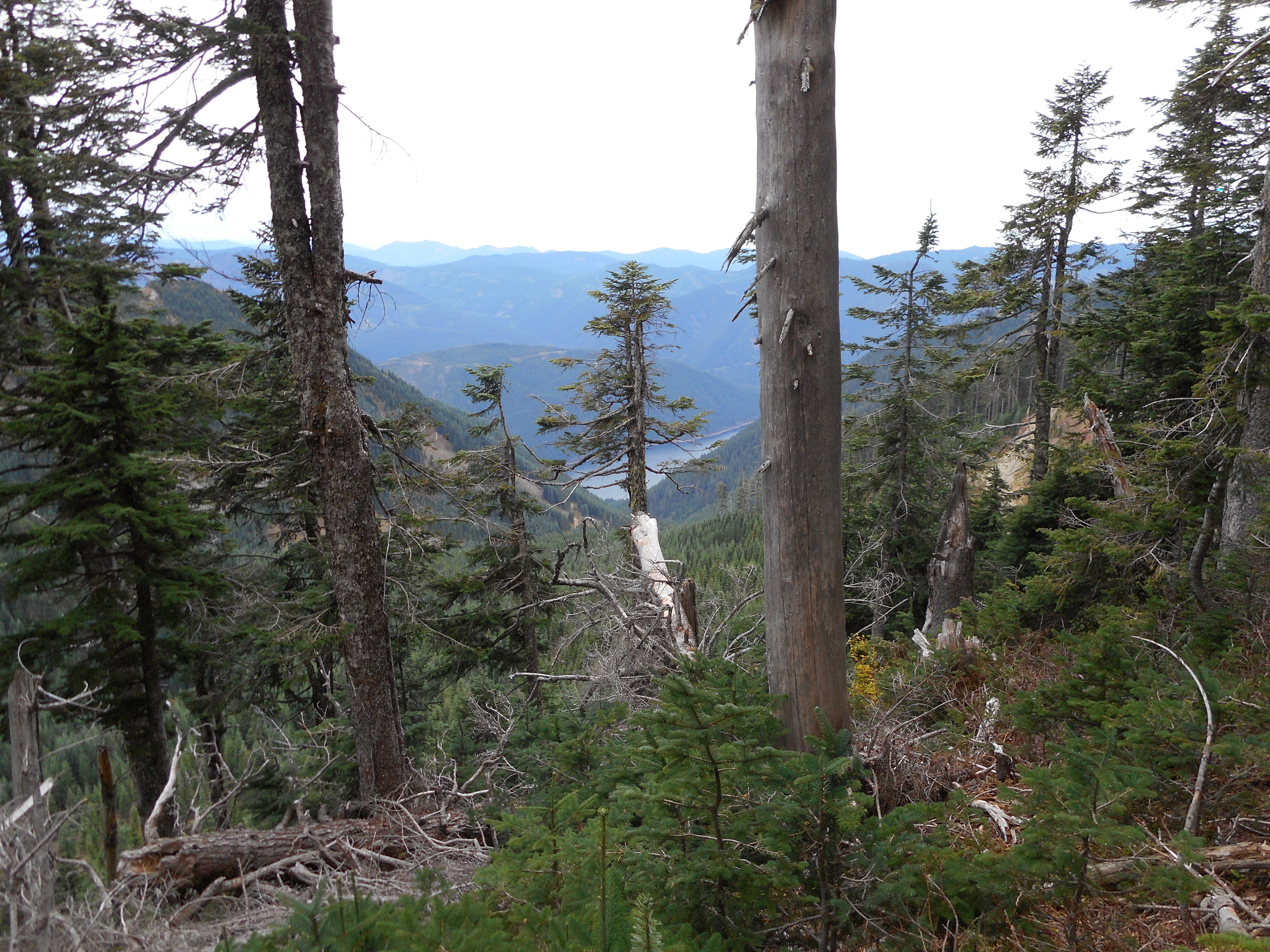
Here is sort of what this hiking thing is about. This is a photo I took on the way down, not far from the trail head. The view is of a mountain a few miles north of McClellan Butte.
That’s about what you do when you hike around here.