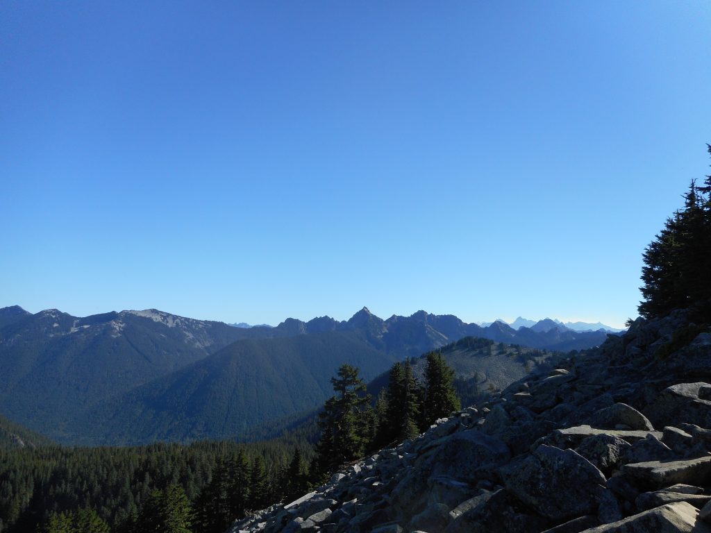
Awesome hike today with Carl. We started up the Ira Springs Trail just after 7. I am a slow poke and didn’t make it to the summit of Little Bandera until about 9:40 or so. But don’t let the word ‘little’ in ‘Little Bandera’ fool you.
It is ‘little’ only because it is a false summit. Another 1/2 mile or so on a ridge gets you to Bandera Mountain, but most people settle for Little Bandera since the summit has no views (trees block the view) and the short hike there is not interesting.
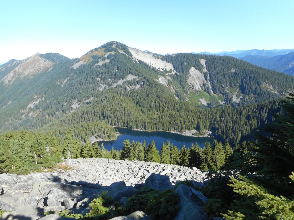
This hike is interesting in spades. Here is what it looks like near the summit – it is a boulder scramble:
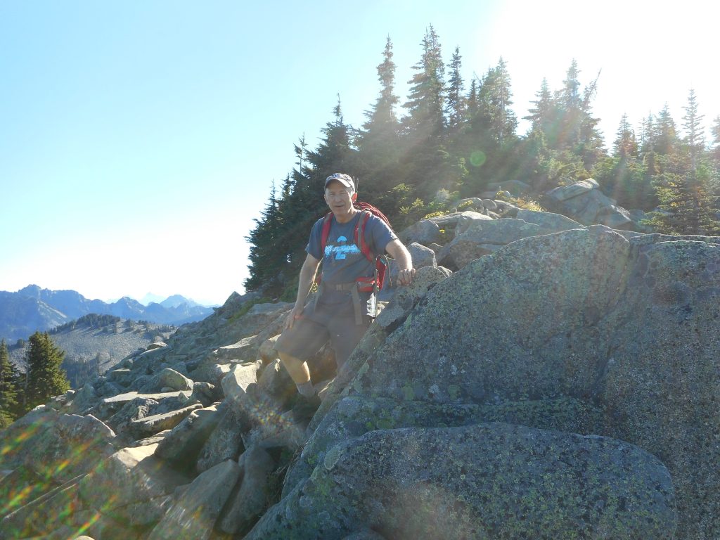
Generally, I would say this hike has 3 distinct sections.
The first section, about 1.5 miles, is on a nice trail and has a relatively gentle elevation gain. We make pretty good time here.
You hit a very obvious spot where it is suddenly steep. And it stays steep up until about 2.7 miles, where there is a sign directing you either to Mason Lake (go left) or Bandera (go up).
This is the third section and it is what makes this hike so challenging. It is pretty much straight up for more than a half mile, including sections where you are not “hiking”, you are looking for ways to make progress over and across boulders. Very tough coming down as well.
But it is rewarding, as the views up there are awesome, and the workout to get there is the best.
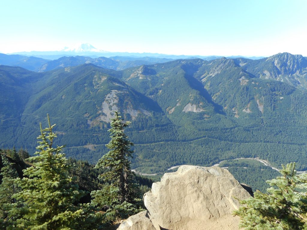
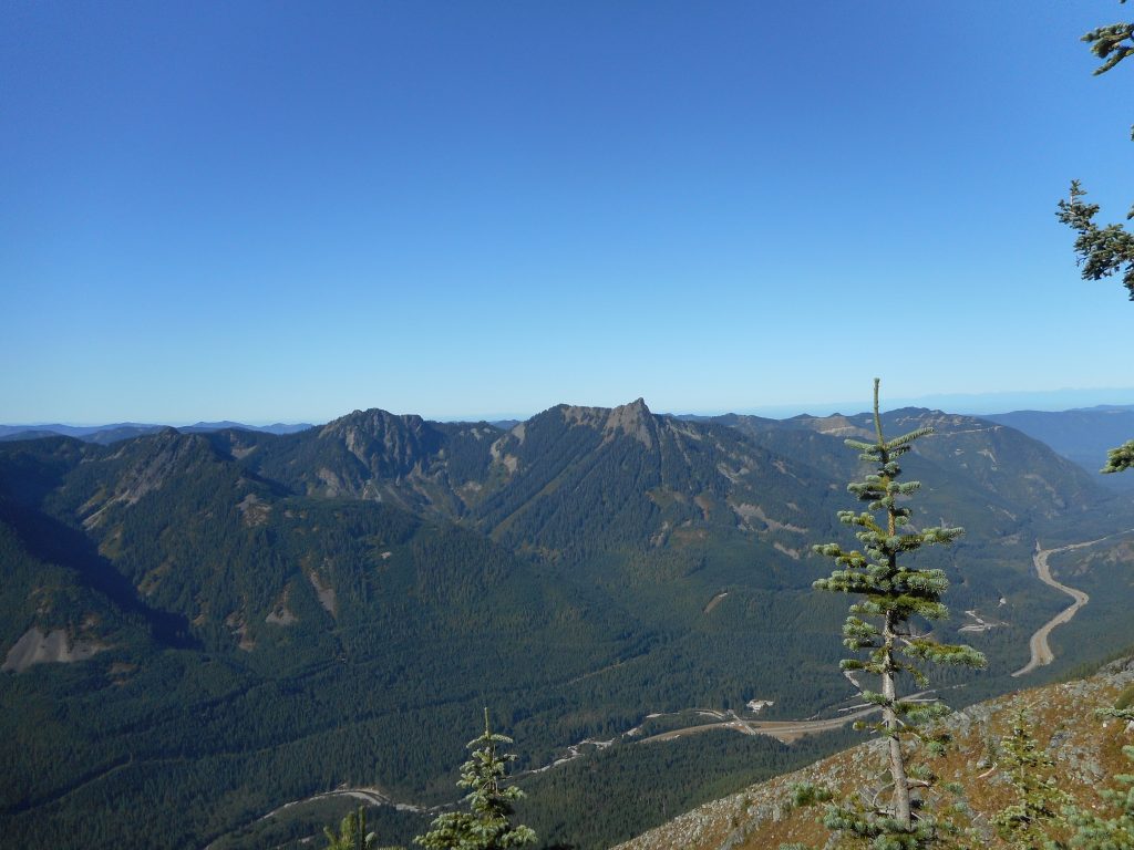
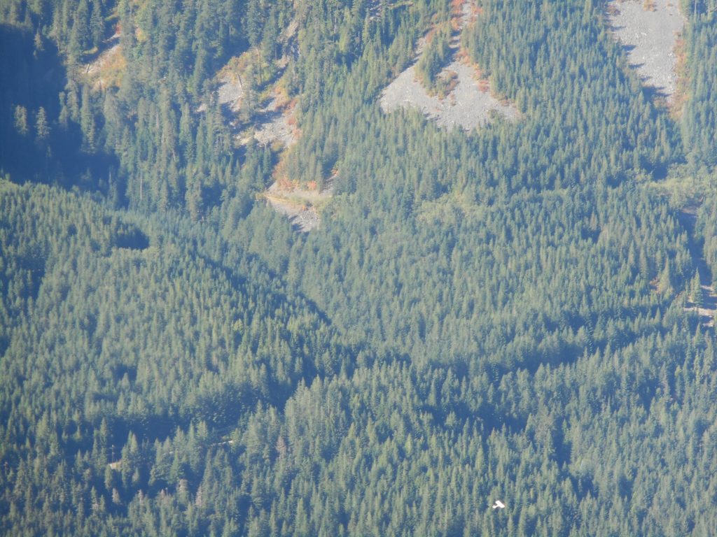
On the way down, Carl noticed a plane or glider slipping by. Looked like this person was having fun. Hard to get in the frame, it is in the lower right of this picture:
6.8 miles, just under 3K elevation gain, check out the elevation profile in the track below:
https://adventures.garmin.com/en-US/by/djhiker/little-bandera-9-2-2017#.WascosaQypo