Short post today, hard to type because I took a spill on the way down and hurt my wrist. Probably a sprain, hope it feels a little better tomorrow.
This is by far the toughest solo hike I have ever done. Hard to find the trailhead (I put pink flagging tape there on the way out, not sure why no one has done that before); hard to get to the trailhead because you have to drive several miles on awful service roads (rocks and potholes); 2,500 feet elevation gain in two miles, which is tough but not a real problem; but rocks! boulders!
Here is a picture of the trail and a picture of one of the boulder fields:
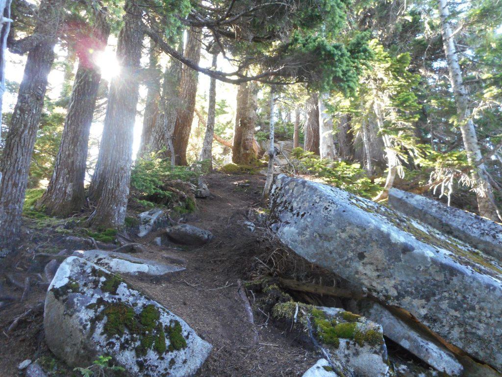
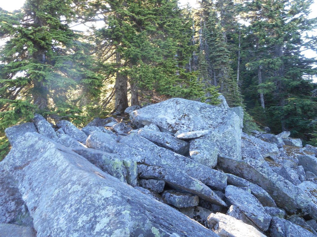
When you get near the summit the trail disappears and you have to just pick your way through a boulder field. Trail picks up again but then there is another boulder field; and then another; and the summit is one huge boulder field.
I did make it to the highest rock up there but I did it really carefully. All of that was tough. But what was really tough was coming down. I had to slide on my butt numerous times, holding on to tree limbs to keep from picking up too much momentum. It was near the bottom, in a dusty patch, that my feet just gave out and I came crashing down with most of my weight on my right hand. Ouch!
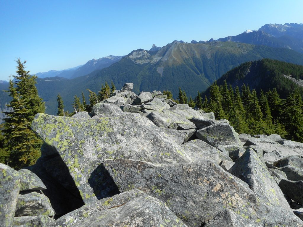
On the bright side, the views at the top were magnificent:
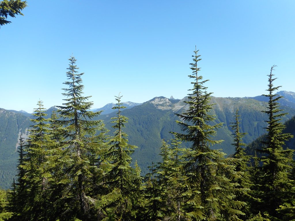
As for the track, see below. There is a short (.6 mile) and easy connector trail to the actual trail and after that it is pretty much just straight up to the top. A tough hike/scramble but in the end I am glad I did it and extra glad I started early (hit the trail at 6:30) because today turned into a hot one.
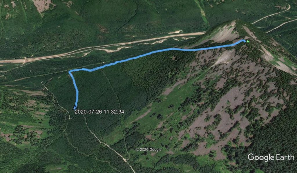
Track