It’s Sunday morning, why not hike? But where?
I have been hanging around Rattlesnake Lake lately. Did a mini-hike Wednesday (didn’t merit a post here) at Cedar Butte and so on and so I figured, why not just hike from Rattlesnake Lake up to the East Peak.
So I did.
You can see a map and some photos and elevation plot of this hike right here:
http://adventures.garmin.com/en-US/by/djhiker/rattlesnake-mountain-east-peak/#.ViQF0pXlupo
In the meantime, I see now what it means to be in a super-popular area. Oh my! I count seeing 8 or 10 people all day as busy. Today, on the way down, after I passed Rattlesnake Ledge (which is where most people go, and they turn around and go back, which is a 3.8 mile round-trip) I must have passed 70 or 80 people coming up.
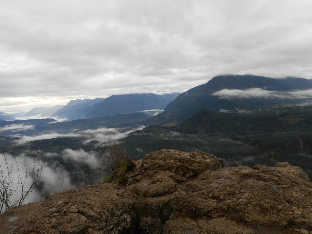
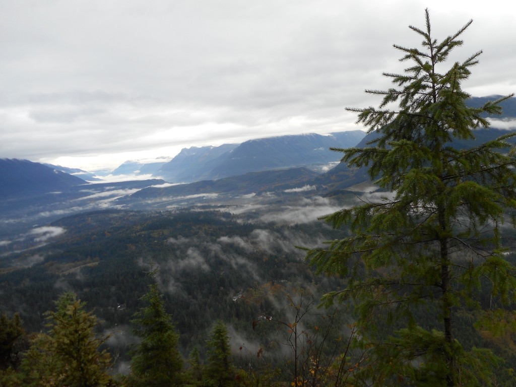
And this is a gloomy, cool Sunday in late Autumn. Cloudy, not the greatest views.
But there was this:

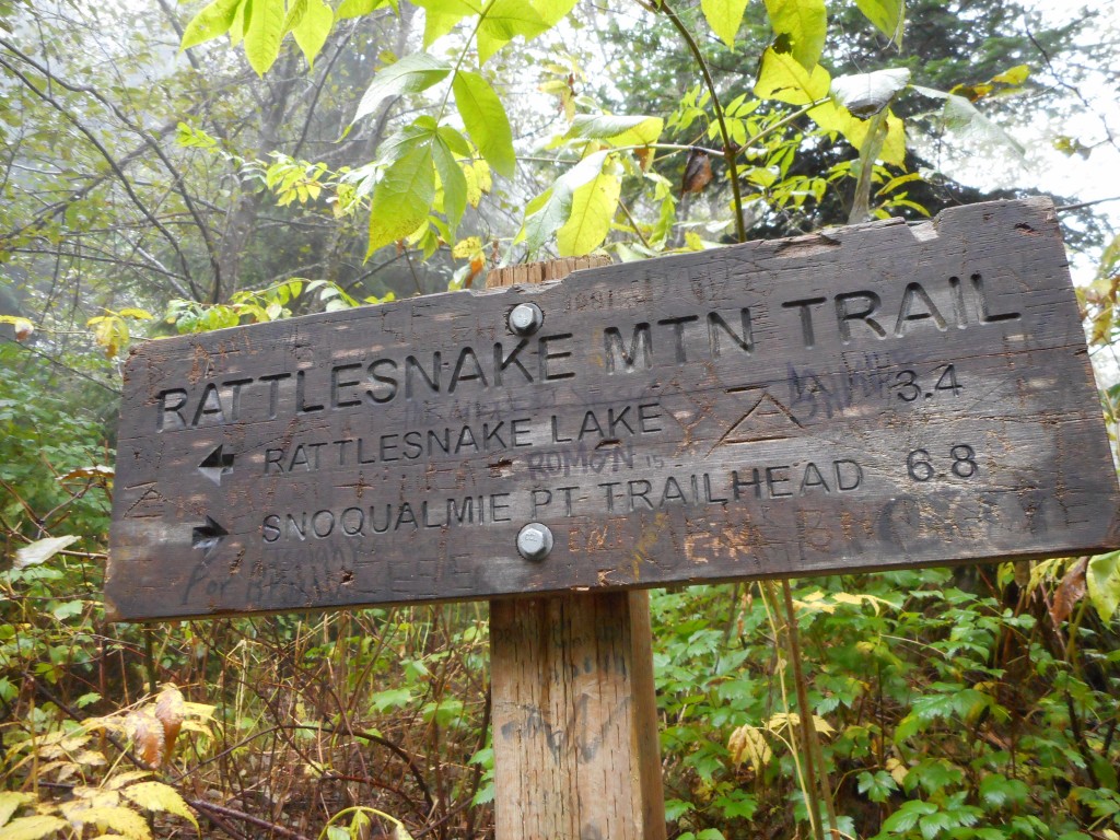
And I passed a nice little memory. The first hike I did with Derek was on 1/19/2015, well before we started this blog. We parked about where I parked today and hiked up to this sign before we turned around:

Today, I went past this spot with a goal of hitting the East Peak, which is about .7 miles past this sign and, I might add for future reference, just past this sign is a nice little stretch of steep hiking.
Round trip today just over 9 miles, 4.5 hours, including a (in my opinion well-deserved) sandwich break at East Peak.