Frustrating day but a learning experience.
I wanted to do the SE Squak Mountain trail. The trail head is near a residential neighborhood with limited parking, so the WTA web site recommends that you park near the Issaquah Alps Trail Association’s office, which is just off Issaquah’s main drag. I was fine with that – in fact, I parked at my usual E Sunset Way parking lot, because it seemed to be fairly close to the place they want you to park.
I made my way towards my first goal, looking for a street called Bush. I stupidly passed it by, and wound up going about a mile in the wrong direction. I doubled back and found the office but I had printed the directions from there via the WTA web site.
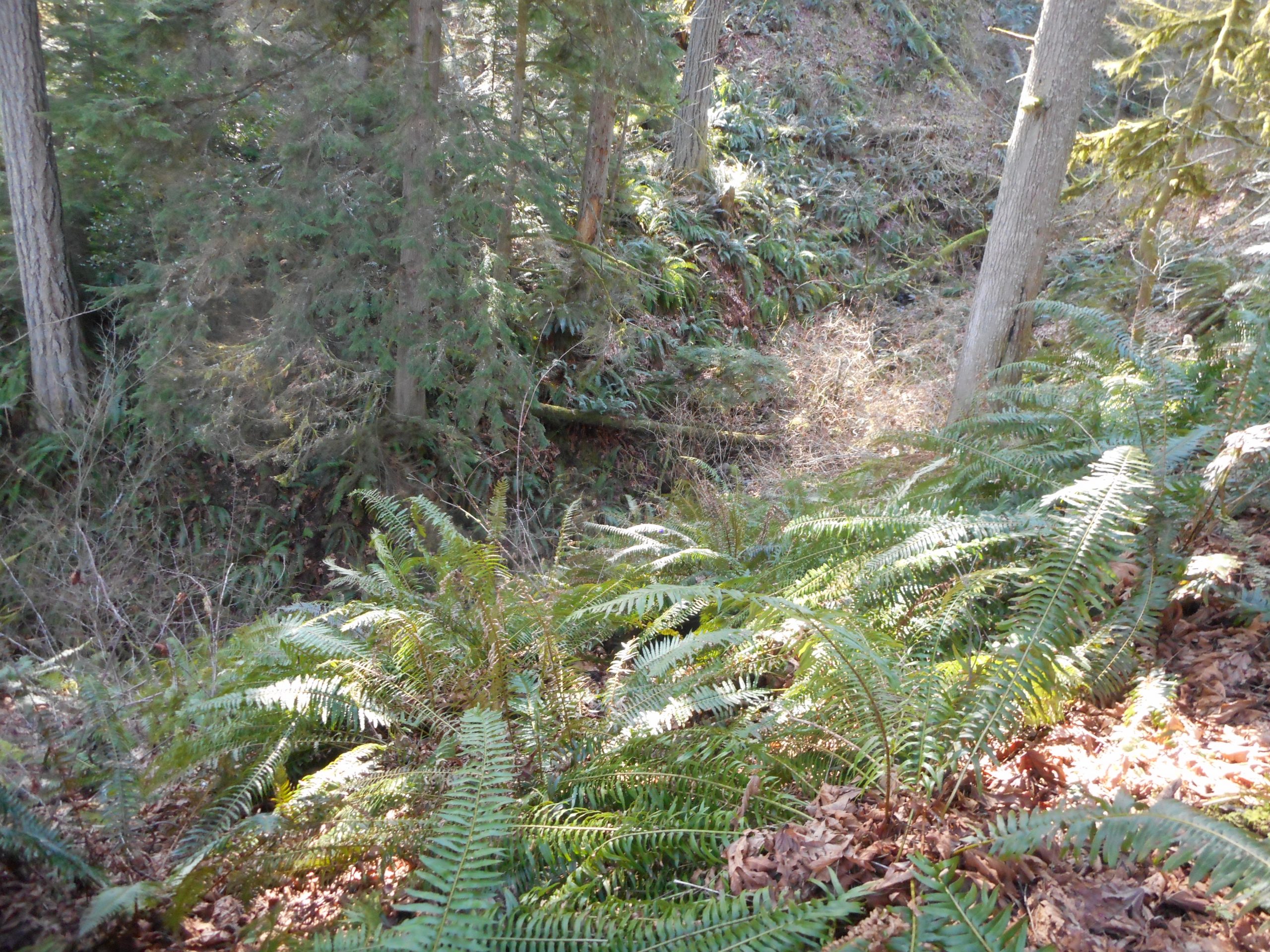
The directions pointed in the wrong direction and, when I finally got oriented correctly, they became irritatingly vague. I did finally find the trail but boy! What a long strange trip to get there. And since I had planned to go back via Carnation and Duvall, by the time I got no more than perhaps .75 mile up the Squak trail, I turned around.
Here is the track – it is bizarre:
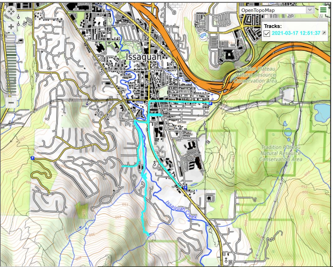
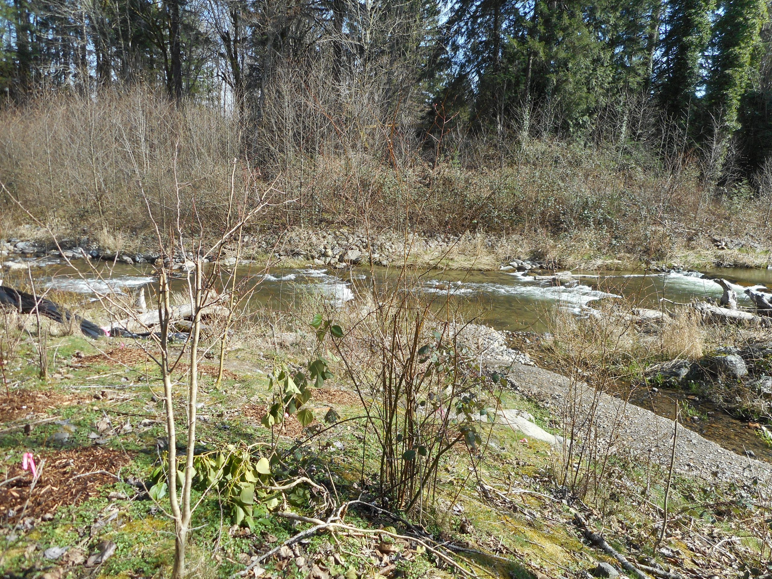
As you can see from the track, some of it runs along Issaquah Creek:
The learning experience was this: now I know how to get to the trail. And it looks like it is very steep and therefore a good workout. Today it was just under 7 miles with a few hills, but nothing real challenging. We’ll see how it goes this weekend with the weather. But I do plan to get out, even if I might get wet.