Mt. WA/Change Peak 7/8/2020

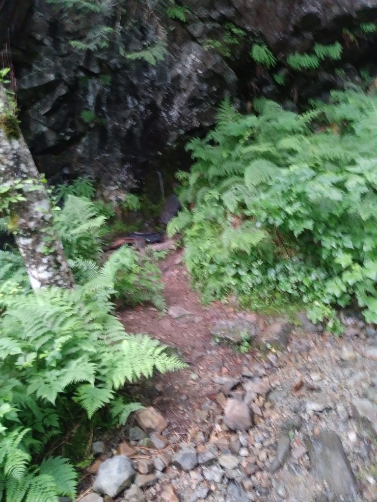
Lame Picture of a Leaky Cliff

Carl and I started up the Mount Washington trail this morning at 6:30. Our plan was to go up the Mt. WA main trail to the summit, then go down to the Great Wall and up to Change Peak, then back down to the cars via Great Wall/Great Wall Connector/Lower Mt. WA trail.

We did the Mt. WA and Change Peak summits (actually, just short of Change Peak summit) but near the junction of the Great Wall trail and the Olallie Bike Trail what did we spy up ahead but a large bear hanging out on the trail.

We quietly retreated and quickly decided the smart choice was to re-trace our route. This was kind of sad since the route we had planned would have been about 9.5 miles. Having to backtrack turned our hike into a 12.73 miler with just over 4K elevation gain. Yikes! But that beats the potential consequences of surprising a possibly surly bear.

I have added some color to the track below. The red circle is where we turned around and the green arrow shows the direction we back-tracked.

As for the lame photo, I forgot to bring my camera and only managed to snag one photo on my phone. That is a leak in a cliff which leads us to believe that sometime in the distant future, the cliff is going to collapse. We hope it isn’t for at least a few thousands years.

Anyway, in spite of everything (plus, I came scarily close to sliding off a cliff) it was a fun day and a great workout.
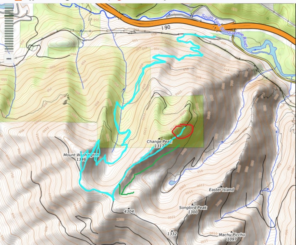
Track

Talus Rocks Loop 7/4/2020

Indian Pipe

I saw the above fungus again today and I flashed on what it is: Indian Pipe. Very interesting little guy to run across.

I used ‘Talus Rocks’ in the title to make it sound different, but in fact this is the same Tiger Mountain hike I did last week, but instead of going down via the Nook Trail I took the Talus Rocks trail over to West Tiger #3, to the Bus Trail, etc. This adds a couple of hills and about a mile to the hike. Plus, the rocky part of Talus Rocks is pretty cool looking and, relatively speaking (Tiger Mountain tends to be busy on a Saturday morning) isolated.

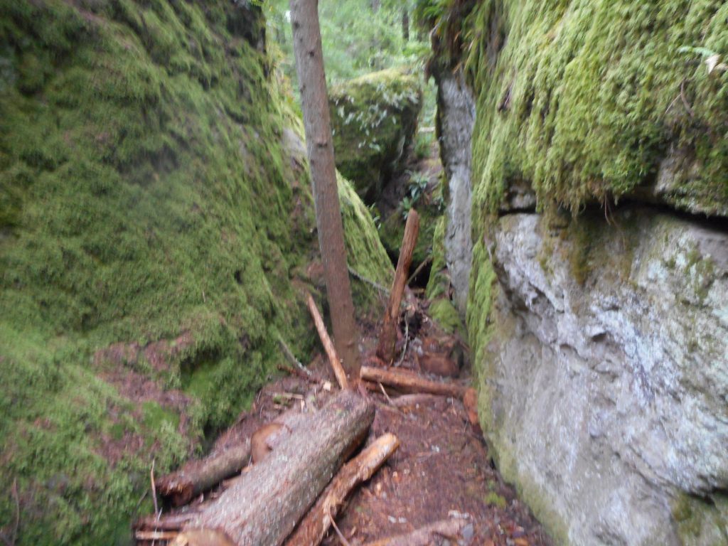
Talus Rocks Trail
More Rocks

Back to reality and the Fourth of July, which in my neighborhood is incredibly loud.

The Track:

Track

Hall Point 7/1/2020

Carl on Hall Point

Carl and I had semi-ambitious plans this morning but it was raining rather vigorously so we scaled back to just doing Hall Point. We actually went just a bit beyond Hall Point towards J’s Landing but basically it was just over 3 miles. But steep!

In the picture above, the background is the location of Zig Zag Trail, where we hiked last week. Between Zig Zag and Change Creek Trail is Hall Creek. These two trails are really quite similar and both are ultra-steep. So 3 miles seems much longer.

In The Clouds
Unmarked Start of Change Creek Trail
Track

A great workout and lots of fun. And Camden (5 year-old grandson) is visiting right now so bye!

Tiger Mountain/Section Line 6/27/2020

Round Lake

I told myself last weekend that, rain or shine, I would hike on Monday, Wednesday and Saturday. And today I kept my promise to myself. Monday and Wednesday were beautiful but today there was a light rain most of the way. But I just put on a rain jacket and hat and trudged on.

I would like to keep up a 3-a-week hiking schedule. I need the workouts.

Today I just did the Tiger Mountain/Section Line loop where I go up the Section Line Trail and down the Nook Trail. And etc., numerous trails involved but on the ground it is just a 4.5 mile loop. The Section Line is .8 mile and fairly steep the entire way. That is the attraction on this hike.

But you do get to see a few little sights, including an interesting looking white fungus:

Fungus
Tom Petty Reminder

Not a jaw-dropping hike today but it beat sitting on the couch worried about dysfunctional White Houses and murderous viruses.

Truck Summit 6/24/2020

Zig Zag Trail

I met Carl this morning and we went up Zig Zag all the way to Truck Summit and went back down Zig Zag. That is the shortest route (about 6.25 miles round trip) but the way down is hell on the knees. We are both old guys and Carl thinks he may be getting a touch of arthritis.

You go from 1200 feet in the parking lot to 2750 feet at the top of Zig Zag in about 1.3 miles so going down it is steep and rough on the knees. And there are a couple of really nasty little step-downs (step-ups, of course, on the way up) that require great care.

But we had a great time, as always it is a super workout. I am slower than Carl going up but he was patient and waited for me at the top of Zig Zag. And today was his first trip to Truck Summit. Like me, he marveled at the beautiful views along the way.

Also, he saw a tree trunk that had been scraped to the bare wood by – by what? A bear? An elk?

Scrapings Not, I Presume, by Aliens

A good time. Summer is here and it is time to get off the butt and get out into nature.

Carl and Change Peak
Hall Creek
Track

Truck Summit 6/22/2020

The Eponymous Truck

I took the Zig Zag Trail up to the service road (NF9021) and the service road up to Truck Summit. It’s only 3.2 miles from the parking lot to the truck but the parking lot is 1200 feet elevation and the truck is 4000 feet elevation. So it’s steep. That’s a lot of work just to see that truck but the workout is the point and the scenery is awesome.

I am planning to do the same route to the truck on Wednesday with Carl, but today I wanted to check out the service road down, as that is the way that Derek and Ryan and I will be driving in Ryan’s jeep when we make an attempt upon Chester Peak.

However, based on the only Chester Peak trip report I could find (I will send a link to Derek offline) it may be that our planned route, going south from Truck Summit, might not be doable. Instead, we might be able to take the jeep up NF110, and hike up from Chester’s more eastern approach.

We shall see how it goes. But I mentioned the scenery and here are some views:

Chester Peak
Near the Truck Looking West
Macchu Pichu

Also, the trail up from the Hall Creek Connector, just up from the Hall Creek Trestle, quickly splits in two. If you go right you take the Hall Creek Trail, an interesting jaunt, but I went left, up Zig Zag:

That’s What I’m Talking About

Macchu Picchu, 2 photos above, is supposedly reached via Hall Creek Trail. Another one to check out.

From Truck Summit I hiked back down to the top of Zig Zag (where I today hung pink flagging tape so someone coming up is less likely to miss it) but instead of going back down Zig Zag I took the service road, wanting to see if it is driveable. It is. But that pushed my mileage to a hair under 11 miles.

It’s all good, I could use the workout.

Track

Service Roads 6/17/2020

Carl and Chester Peak

Carl and I visited the service roads off Exit 38 this morning. We did about 8.8 miles but nothing real steep.

We parked on the side of SE Homestead Valley Road and went south-east up the service road, went west to Mine Creek Bridge (see photo above – Chester Peak is the peak in the distance with a little snow), then east to the McClellan Butte trail, up that trail to the next service road, down that back to the car.

Lots of fun and a good workout. Plenty of sights:

North
Ferns and Forest
Waterfall
Wet Rocks

Here is our track:

Track

Chester Peak is the un-marked peak, above, to the west (left) and south of McClellan Butte. Derek and Ryan and I are planning an assault on this peak – there is no trail – via the mountain goat trail south of Truck Summit.

Service Roads 5/27/2020

Looking North

Today I took Exit 38 and drove up the service road to Garcia, where I parked. I then walked up NF9020 en route, I hoped, to the top of Zig Zag Trail.

However, what I wanted to do and what I expected to be able to do were two different things. I expected to be stopped at the Mine Creek Junction due to fast moving high water. And that’s what I found:

Turned Around by Mine Creek

So I just turned around and went back, although when I got to where the car was parked I strolled west about .75 mile to the Mine Creek Bridge (where Mine Creek is at its largest and strongest) to take in the view.

About 5.3 miles, rather hilly going up to where I turned around. It was a good workout. Random images:

Looking West

Looking Up
Looking Down

Heads Up

Gotta love a good workout in such an awesome place on a perfect sunny day.

Track

PTC/Service Roads 5/9/2020

Many trails were opened up this past Tuesday, 5/5, and I could see as I was driving back that the local popular trails were busier than I had ever seen them. Oh, my, no chance of social distancing.

In the Mountains Again

In contrast I chose a route that was a wide road most of the way, and almost certain to not be very busy. My plan was to go up a service road to the PTC; PTC to McClellan Butte Trail; MBT to service road NF9020; and then down that road, back to my car, which was parked way down on the side of the Homestead Valley Road.

So, that was the plan (check out the track) I wound up going up and up, then I started down, and as I got to a low point, I heard gunshots up ahead. Idiots illegally doing target practice. And, judging from the gun shooting detritus that litters this section, the shooting is generally accompanied by lots of drinking alcoholic beverages.

So, I can forge ahead and hope that drunken men shooting guns illegallly are going to be civil to me and lower their guns as I pass or – or I can turn around.

I turned around. Which meant I had to go back up and up, and since I turned back more than halfway through the intended loop, I wound up doing more than 9 miles where I planned on about 6.

But that is actually a good lesson learned. The way to stretch yourself (I needed it after not being able to hike for so long) is to do a hike where the second half is at least as tough as the first half – rather than a typical out-and-back where you are going up on the first half and down on the second.

So, a fun day.

Still Snow Up There

Track – Note the Empty Track Area Where Logical Loop Should Be

Walk 5/29/2020

4/29 Track

The walk I did today was the correct version of a route I tried last week:

Last Week’s Attempt

Looking for different walking routes. This one was OK until towards the end when I found myself in the middle of a rather large number of walkers. I had to keep crossing the street or veering way off track to keep our distance from each other. I guess everyone is going nuts. I should be able to get out of town by next week.