Rattlesnake Mountain/Middle Ledge 11/13/2018

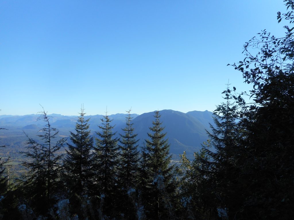
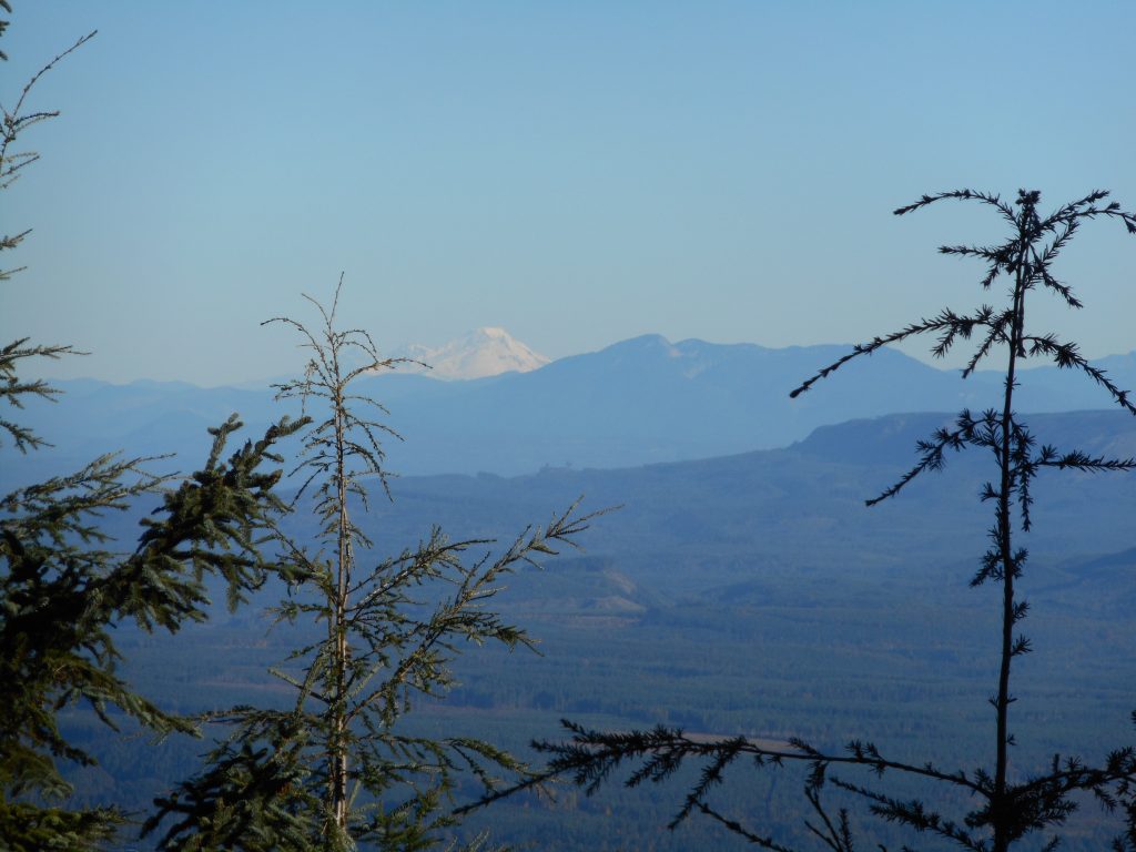
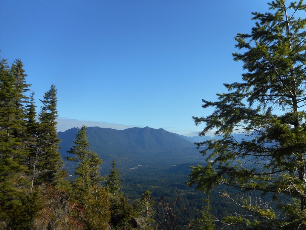
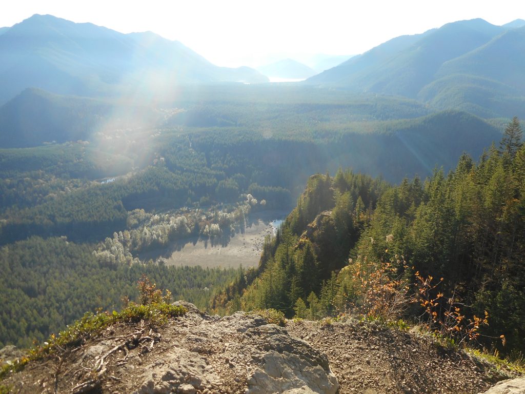
View from the Ledge
View from the Ledge

Another beautiful morning and I am in training mode – training for the hiking trip to Ireland I am taking next year with Derek – so I got out again and did a moderate hike starting at the Rattlesnake Lake side of Rattlesnake Mountain and going up to the middle ledge.

It was a neat 2 hour hike, a good workout (not a great workout) and every hike takes me closer to my goal of being able to do the Wicklow Way hike we are going to do.

Derek and I are going to start in the foothills of the Wicklow Mountains in Ireland, south of Dublin (near Glendalough where Jan and I visited earlier this year) and work our way north, hiking, successively, 19, 18 and 16 miles, ending up in South Dublin.

This is mountainous and hilly terrain and I need to be in good enough shape to do it.  My goal is to average 3 hikes a week between now and when we leave (the very end of August 2019) and drop some weight as well.

We shall see how it goes but so far, so good.

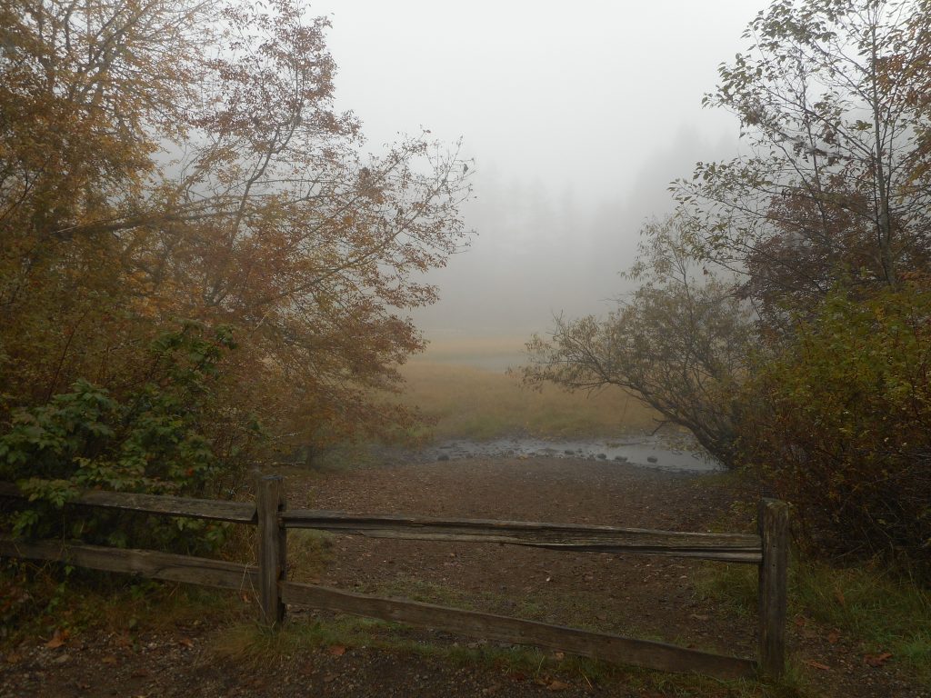
Along the way today I noticed a fairly dense network of graffiti on one of the two bridges along the way:

Graffiti Bridge
Graffiti Bridge

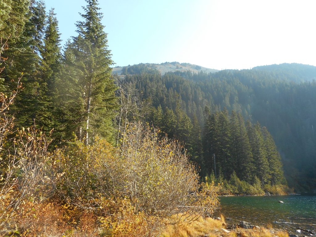
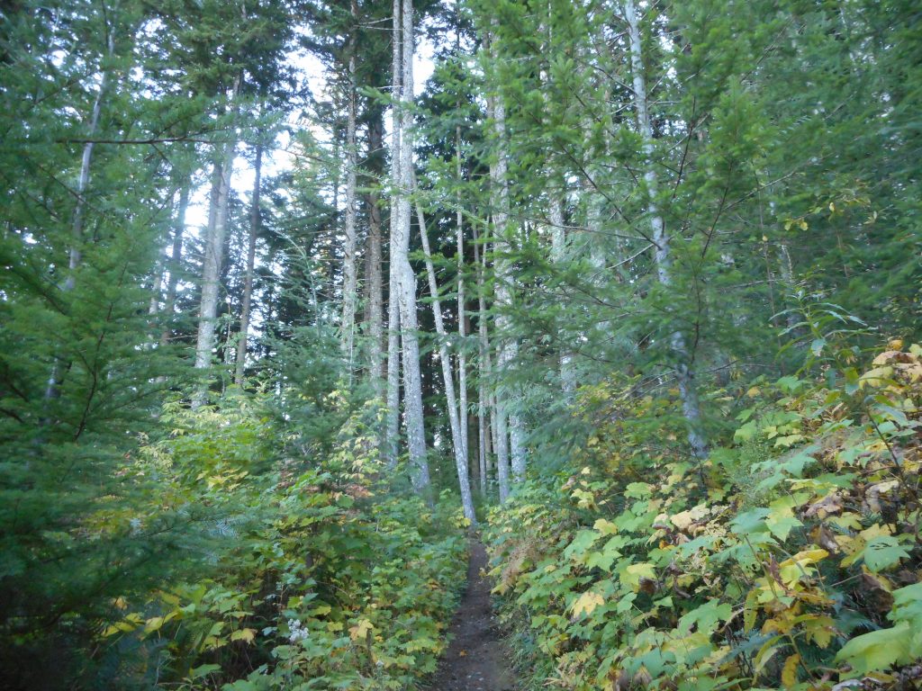
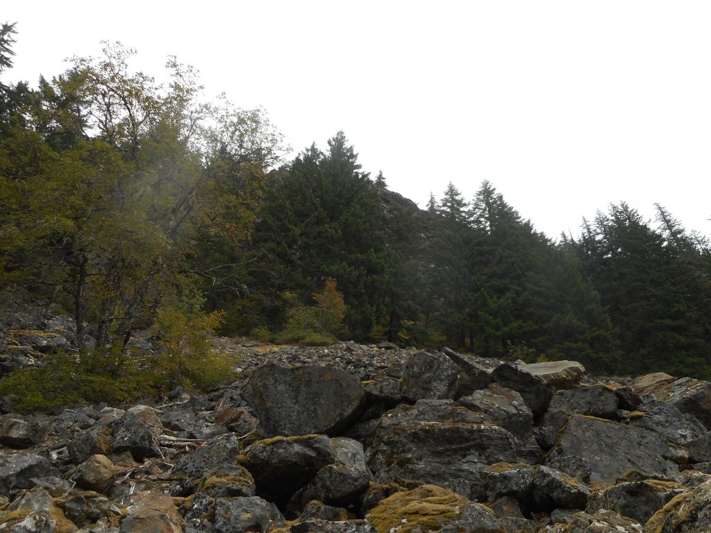
Also, on the ledge, for a change I turned around and looked north and west – I love the forest on Rattlesnake Mountain:

Forest View
Forest View

I hope to get out on Thursday as well, and if not (weather forecast is pretty wet right now) on Saturday for sure.

Squak Mountain/West Peak 11/11/2018

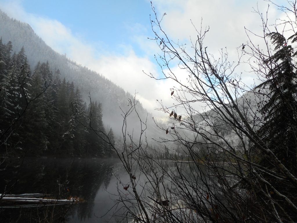
Looking West
Looking West

Today’s solo hike was not particularly photogenic but it was fun and was a really good workout.

I took the normal route up Margaret’s Way to where it meets the Chybinski Trail and went right, as if for Debbie’s View.  I took the Debbie’s View turn but then went left and up a trail I had seen on Cal Topo towards Squak’s West Peak.

I wasn’t exactly sure of the route, as there are a number of intersecting trails up there but I used my Gaia app and navigated with ease.

What I found is that the trip up to, around, down, and back up to Margaret’s Way trail leads to a 7 mile round-trip and adds not only some extra elevation gain, but takes you through a few pretty steep sections.

Also, the woods around West Peak are very nice.  So, all in all, this may be my new go-to hike for Squak, although West Peak has no view at all, there are no ‘above the tree line’ peaks on Squak.

About 3.5 hours, maybe 2,600 feet of elevation gain, a nice day a nice workout.

Talapus/Olallie Lakes 11/7/2018

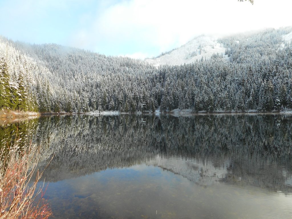
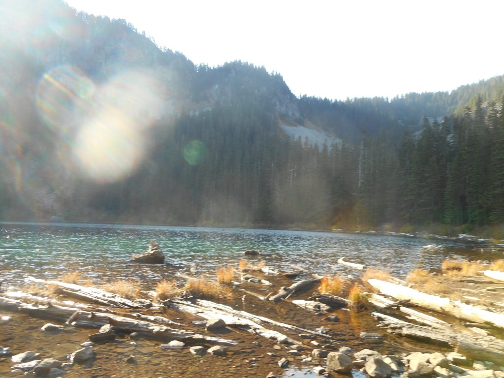
Talapus Lake
Talapus Lake

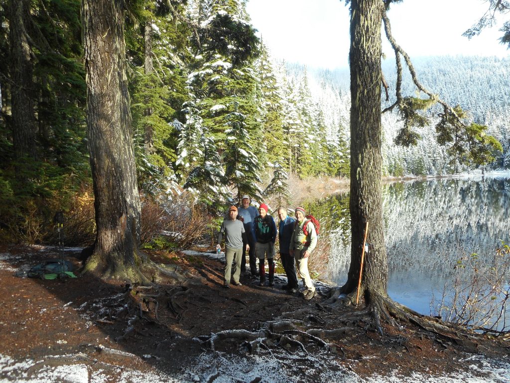
Great hike today with an almost full crew – Carl, Mike, Greg, David and Ken and I went east, to Exit 45 to hike to Talapus and Olallie Lakes.

This was not a grueling hike.  About 6 miles round trip, 1,100 feet of elevation gain but it was tons of fun and the lakes were absolutely beautiful.

First was Talapus Lake, and then, about .8 mile down the trail, Olallie Lake:

Olallie Lake
Olallie Lake

As you can see, snow has already visited the mountains around here.  The trail was fine, the snow was not deep, but it won’t be long before this area will require snow shoes.

The Crew
The Crew

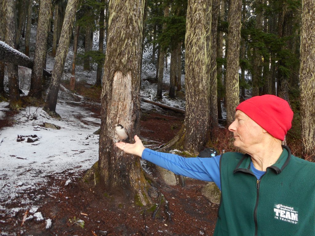
There were some hungry birds hanging around and they were not shy about getting their snacks:

Hungry Bird
Hungry Bird

As always, we discussed how lucky we are to live near the mountains – after the stress of yesterday, election day, a nice hike to a couple of sub-alpine lakes was just the ticket.

Rattlesnake Mountain/Grand Prospect 10/27/2018

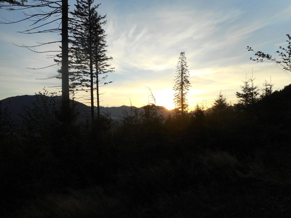
Sun Coming Up Over the Mountains

It’s always something, particularly when you get old.

I was planning to hike on Tuesday and Thursday this past week, but a busted toe that is a bit sore flared up after my hike on Tuesday so I took the rest of the week off.

But I hiked this morning and it is feeling OK now so it may be on the mend.

Typical Rattlesnake Mountain experience, although I got there before the gate open and had to park outside the gate.  It was a fun hike, about 8 miles round trip.

My original plan was to attend the grandkids’ soccer games but I found out they did not need logistical help so I figured I would get out on the trail, as the weather forecast for the new few days is wet, wetter, wettest.

But it’s all good and I am looking forward to doing some snowshoeing – won’t be long.

Annette Lake 10/23/2018

Annette Lake
Annette Lake

I went way out to I-90 Exit 47 this morning to hike to Annette Lake and I am glad I did.  It was a beautiful day and I was first up the trail so I did not see anyone until I started back down.  Even then I doubt I saw a grand total of a dozen other lucky hikers.

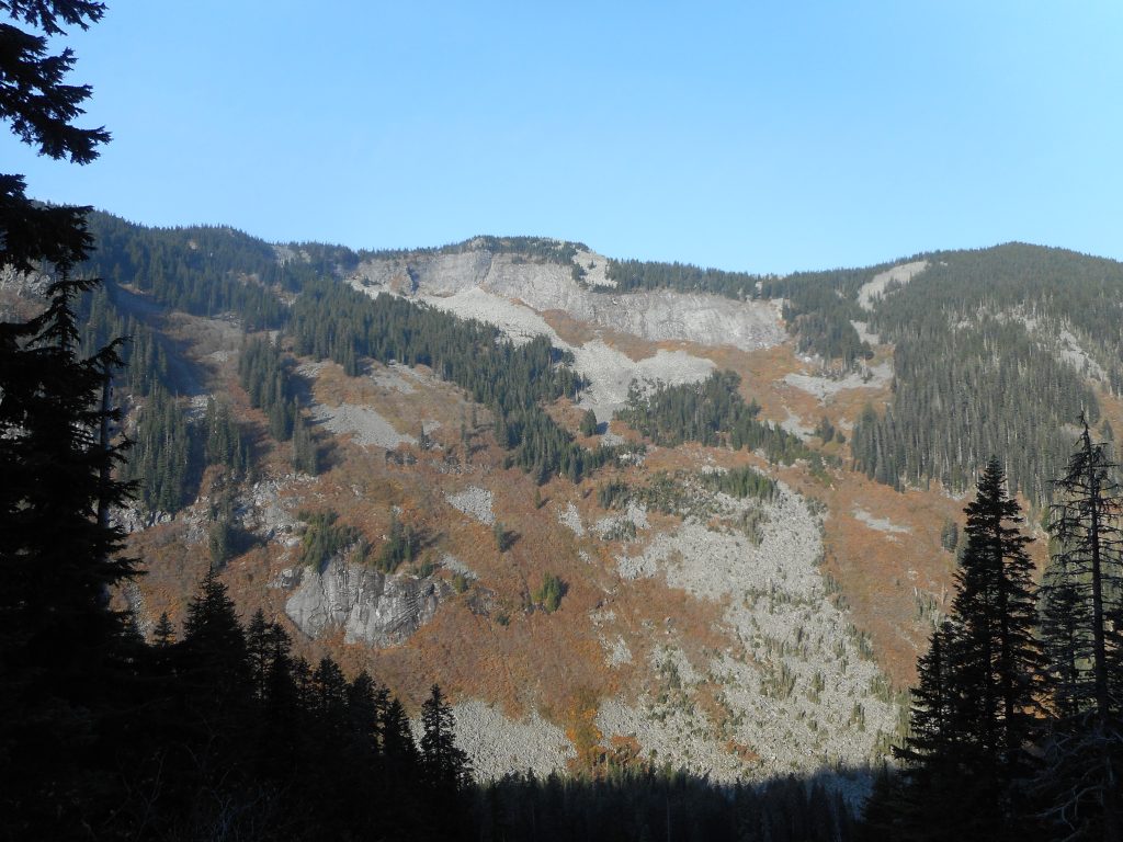
What a beautiful trail, through mostly second growth forest the entire way.  Plenty of peek-a-boo views of Humpback Mountain, which is immediately west of Annette Lake:

Humpback Mountain
Humpback Mountain

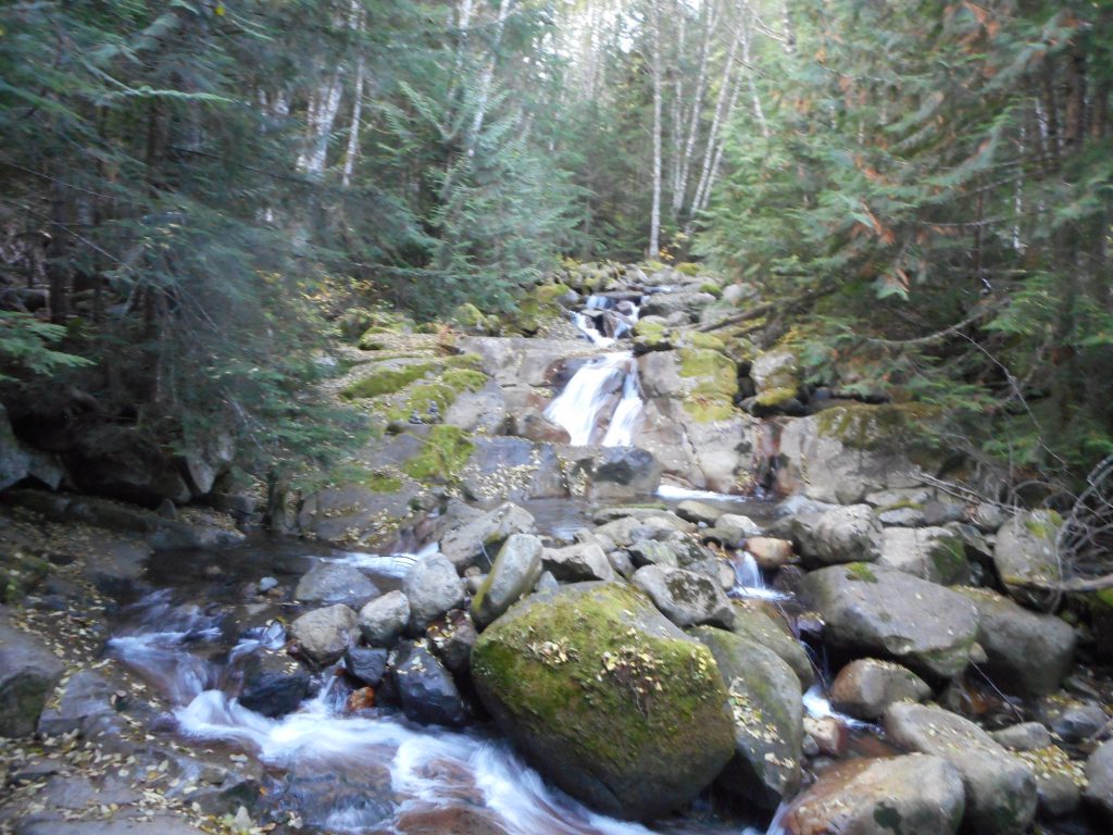
There is a nice little waterfall not far from the trail head:


Waterfall
Waterfall

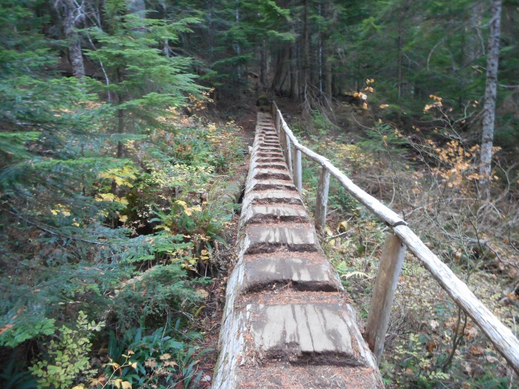
And everyone likes the little log bridge:

Log Bridge
Log Bridge

When you get up to the lake you are standing underneath Silver Peak:

Silver Peak
Silver Peak

Great hike, about 7.3 miles round trip, another step towards getting into shape.


Tiger Mountain/Section Line 10/21/2018

Foggy and Depleted Round Lake

I did one of my favorite conditioning hikes yesterday, Section Line on Tiger Mountain.  I returned by going down the Nook Trail to Bus Trail to Wetlands Trail and, on a foggy day, noticed how low Round Lake is.  More like ‘Round Pond’ these days.

I am trying to get back in good hiking shape.  Last week a combination of medical appointments and babysitting gigs cut my hiking time.  I hope this week to be more active.

Rattlesnake Mountain/Grand Prospect 10/14/2018

View from Grand Prospect

Another beautiful fall day.  7.5 mile hike from the western (I-90 exit 27) side of Rattlesnake Mountain.

I took the forested trail all the way to Grand Prospect but took the service road shortcut on the way down.  This little section is outside the forest and has a fairly nice northern view.

Mount Baker
Mount Baker

This is a moderately steep hike – about 2,400 feet of gain – and, once past Stan’s Overlook at the 1.9 mile mark, the forest becomes very nice.  You can see it sprouting up in front of you just past Stan’s:

Start of Nice Forest

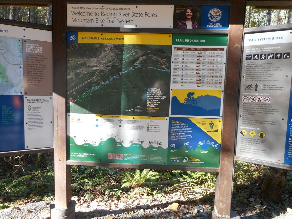
One note about this hike now, they have created a fairly large set of mountain bike trails.  Here is the sign, right near the Snoqualmie Point trail head:

Mountain Bike Map
Mountain Bike Map

There is very little conflict between the hiking trails and the biking trails, but the parking lot now overflows (I got there just after it opened this morning and got a primo spot) and there are so many people riding bikes in the lot (even though there is a nice bike trail just outside the lot) that you have to be really careful driving out.

A few of the bikers appeared to be surprised that, while riding a bike through a large lot filled with cars, that there were cars driving around.

Whatever, it was a nice hike, a good workout and all around were the reminders that winter is on the way.

Rattlesnake Mountain/Upper Ledge 10/12/2018

North from Upper Ledge

I have had some health challenges recently and have not been hiking.  But doing OK today and the weather is perfect so I headed up Rattlesnake Mountain to the upper ledge (the third of three ledges).

This is not a really steep or challenging hike but I need to start somewhere to get back into shape.

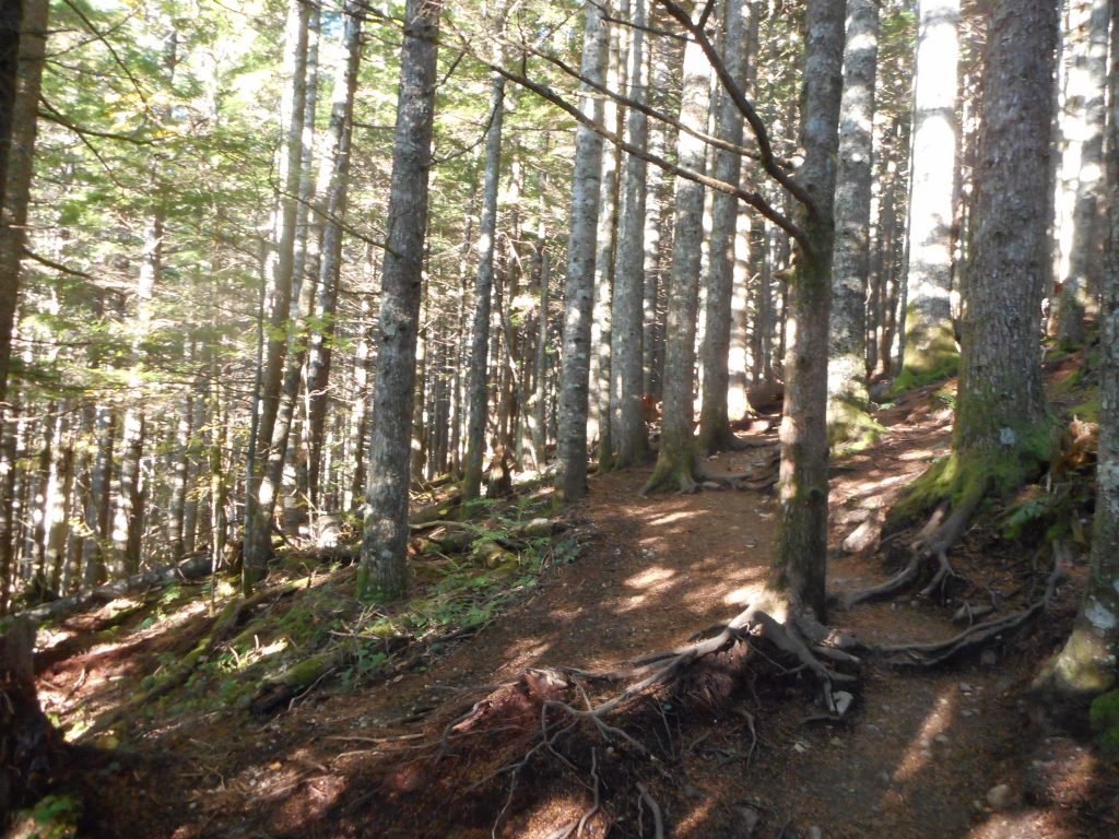
As always, the forest along the way is great:

Woods
Woods

And Rattlesnake Lake just keeps getting lower:

Lake is Low
Lake is Low

I figure to be back at it somewhere on Sunday.  Tomorrow I plan to attend both Camden and Finley’s soccer games.  Fun!

Christmas Lake 9/28/2018

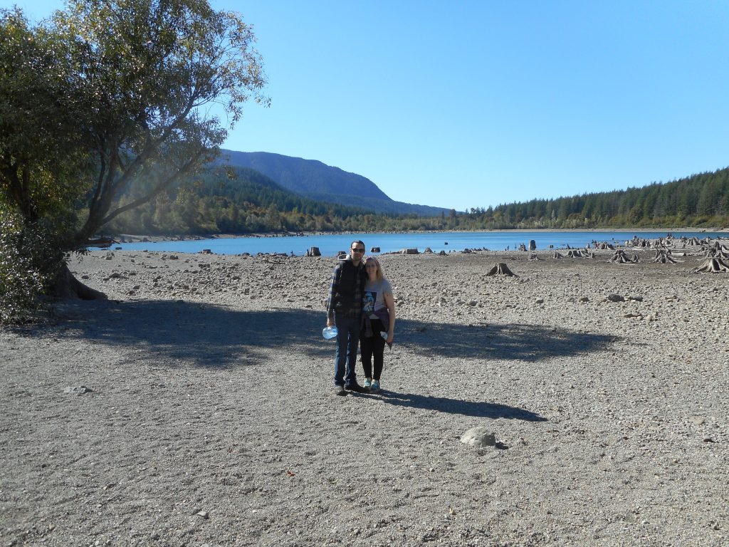
Britt and Christopher

I did a nice walk with Brittany and Christopher yesterday.  There they are at the very low water level Rattlesnake Lake.

We walked up the IHT (now re-named the Palouse to Cascades State Park Trail) to the Christmas Lake trail, hung out there for a little while and then headed back towards the car.

But they had never been to Rattlesnake Lake so we walked over to the lake and across the (see picture above) extended shoreline.  The low water level is not surprising for this time of year.

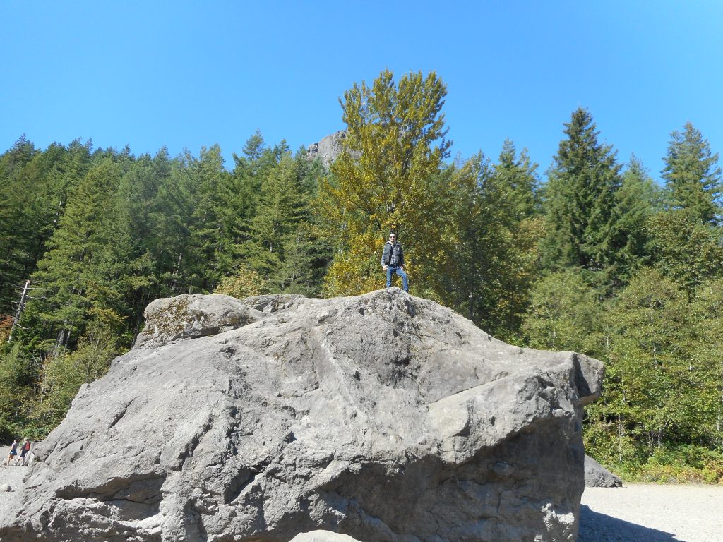
Anyway, Christopher saw a large rock in the distance and we walked over to see if he could climb it.  Well, he did and rather easily:

On the Rock
On the Rock

It was a beautiful, warm, sunny fall day and it was fun to hang out with Britt and Christopher.

Diablo Lake Trail 9/17/2018

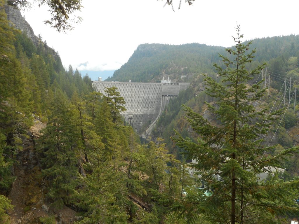
Ross Dam
Ross Dam

Ken and Mike and I met at a Starbucks in Monroe at 6 am for the long ride into the North Cascades to hike the Diablo Lake Trail.  We got to the trail head about 8:45 or so and the ride was worth it.

The hike itself was far from exhausting.  We only went about 4 miles (it turns out – we had a happy and unexpected ending to our hike) with not much elevation gain.  But the trail was very nice.

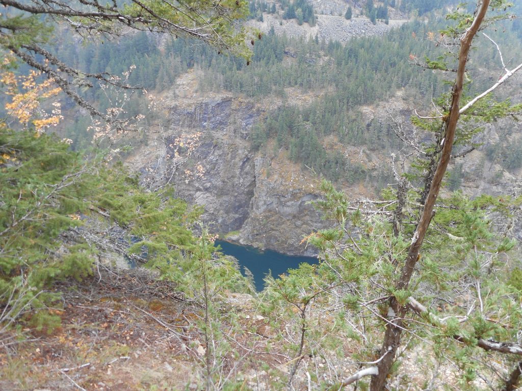
Basically, we hiked to a ridge above Diablo Lake and up to Ross Lake, overlooking water and mountains, and inside forest the entire way.  Looking up or looking down was always fun:

Looking Up
Looking Up
Looking Down
Looking Down

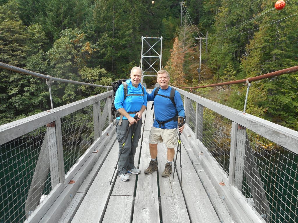
We hiked to the end of the trail and decided to take a detour down a switch-backy side trail to the water.  We crossed the lake just shy of the dam on a suspension bridge:

Ken and Mike on the Bridge

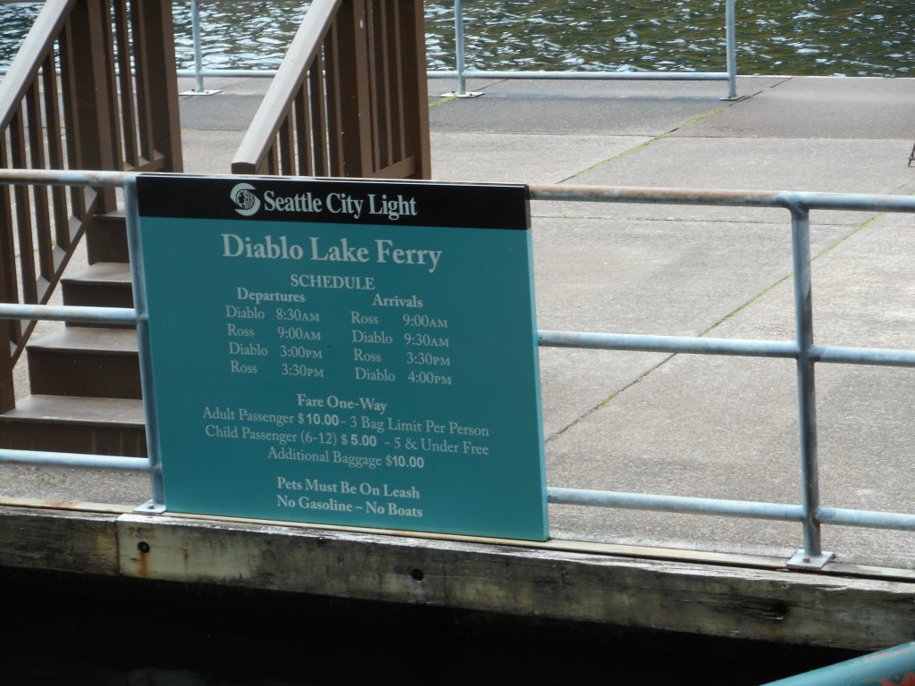
We encountered a notice directing us to go up the road, through a tunnel and down another road to a dock where the Diablo Ferry ran.  We had no intention of taking the ferry, as we had learned at the start that the only ferries were early in the morning and late in the afternoon.  It was about 10:45 or so when we found the dock.  We were just curious and looking to extend the hike a bit.  We fully intended to hike back the ~4 miles.

Ferry Schedule
Ferry Schedule

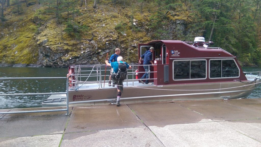
As we were standing there a boat came zooming by and the pilot yelled at us that the ferry wasn’t until 3:30.  He went to the area of the dam and picked up some passengers, fellow employees of the City of Seattle (which manages the area – some of Seattle’s water comes from this location).  Jokingly, Mike and Ken stuck out their thumbs as if hitching a ride.

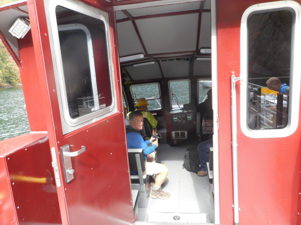
And sure enough the boat stopped and they asked us if we wanted a ride back.  Well why not?

In the Boat
In the Boat

Wow, what nice guys!  So we rode back to near where we were parked in style.  How cool is that?

So, all in all, a nice walk in the woods, great scenery (the mountains in the area are majestic) great company – it’s nice to be retired.

9/18/2018 – Here is a photo Ken took of the boat on which we hitched a ride.

The Boat
The Boat