Tiger #3 via Section Line/Nook Trail 2/18/2017

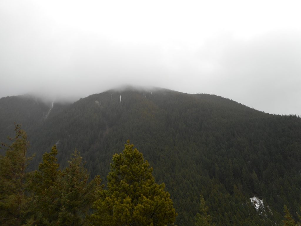
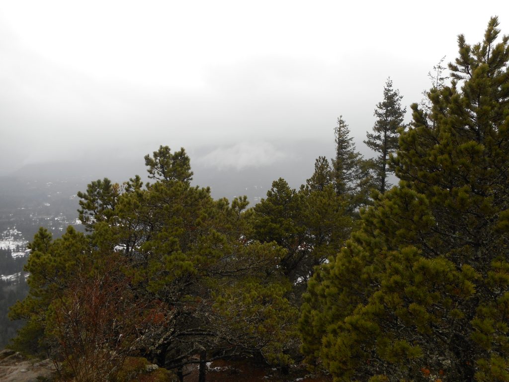
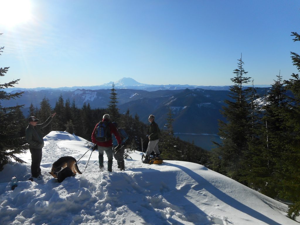
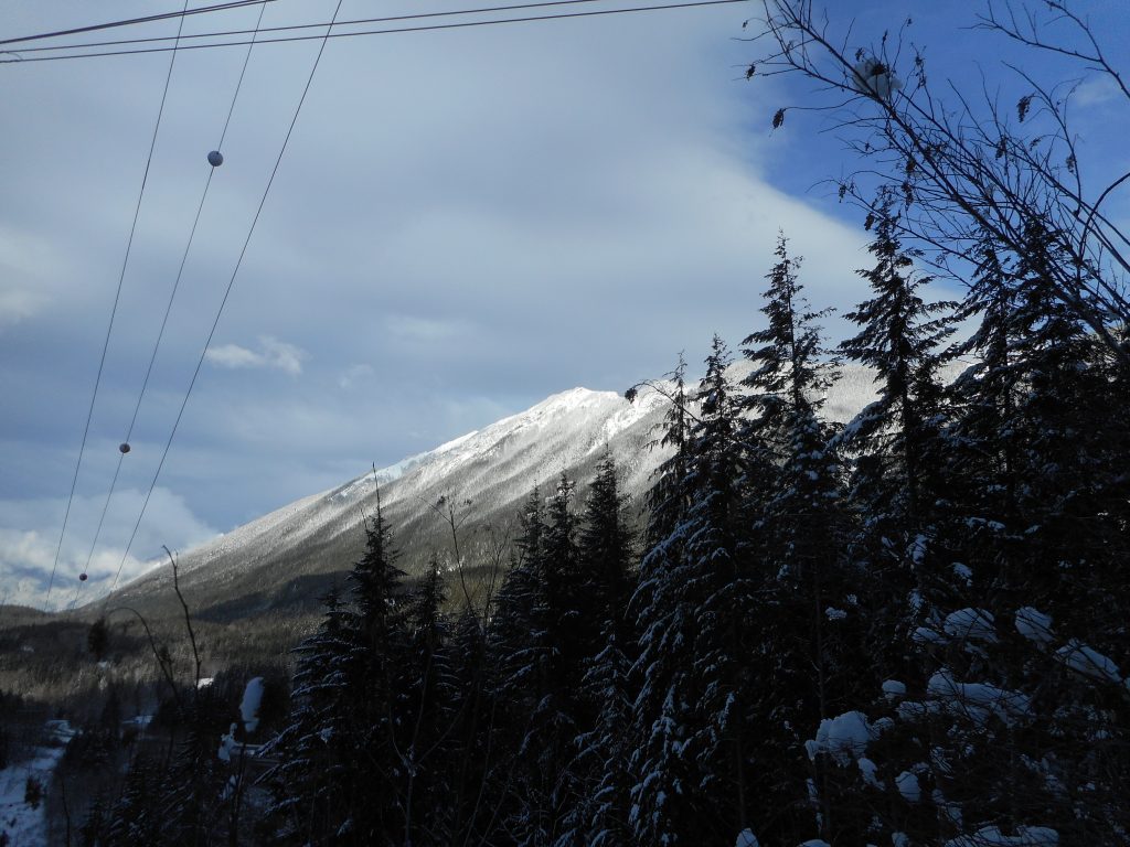
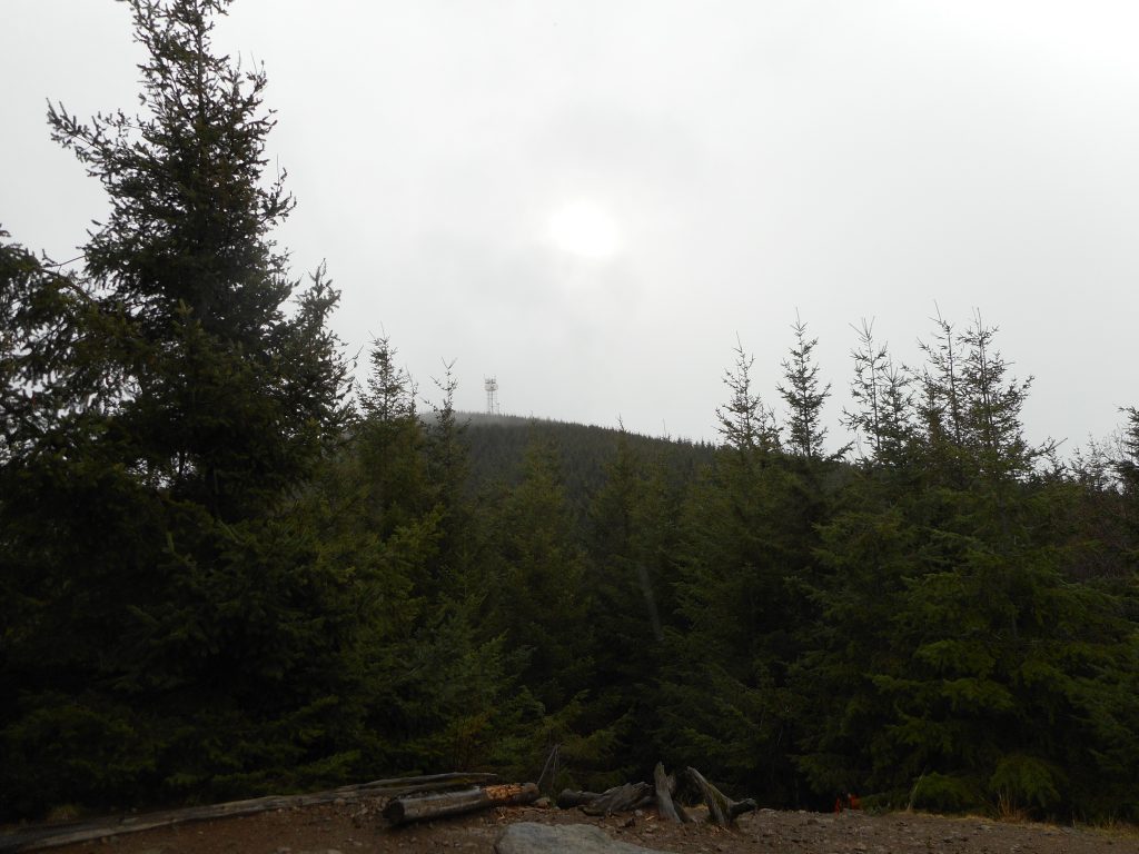
Middle Tiger from Tiger #3 Summit

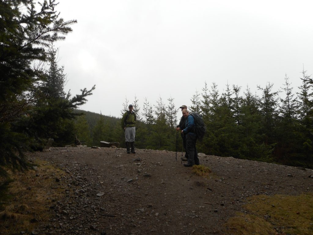
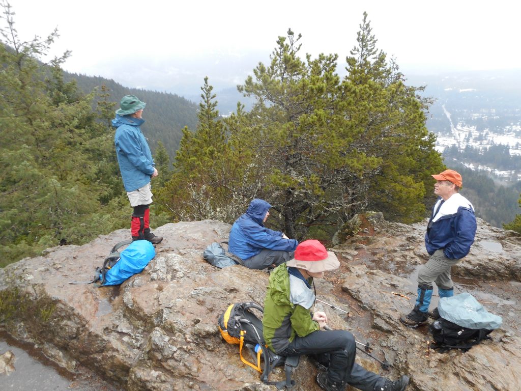
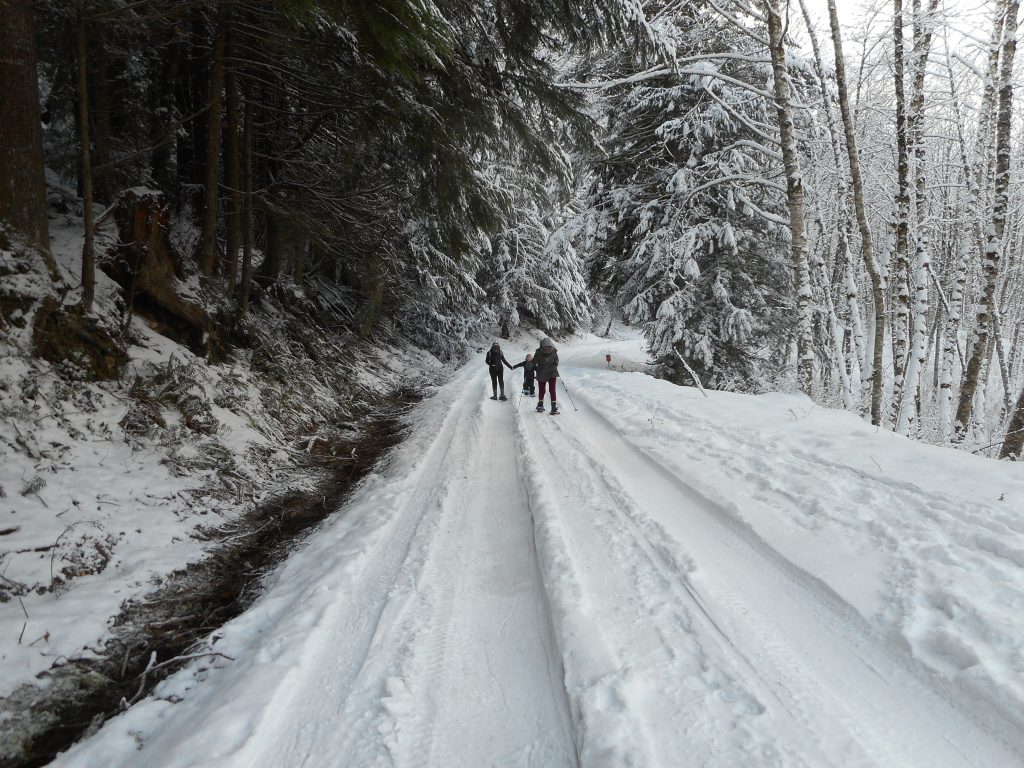
Rainy day hike with Carl, Ken, Greg and Mark.  Fun group, challenging hike.

We started from the E Sunset Way lot and went up the usual route: connector trail to Puget Power, to Adventure, to High School to Section Line.

Where I usually go down via Nook Trail, we went up.  And up.  From that point, 1100 feet elevation (parking lot is about 50 feet) to the summit at 2550 it is a little more than a mile.  The first .5 miles gains 800 feet.  The trail is “unmaintained”.

We went down the same way.  I didn’t bring my Garmin so I can only estimate about 8 miles, 3.5 hours, 2700 or so feet of elevation.  Figuring that isn’t as easy as subtracting start from high point, since there are so many ups and downs along the way.

We did get pretty wet but it wasn’t too bad.  Great workout!
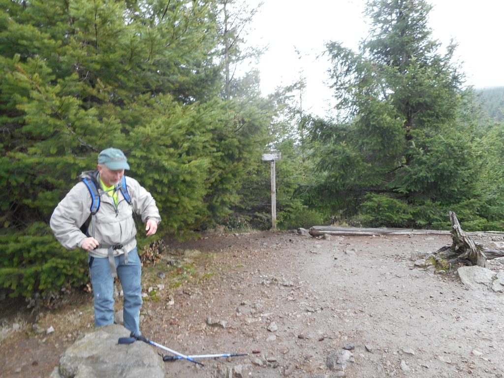
Carl and Summit Sign
Mark, Greg, Ken
Mark, Greg, Ken

Stan’s Overlook 2/11/2017

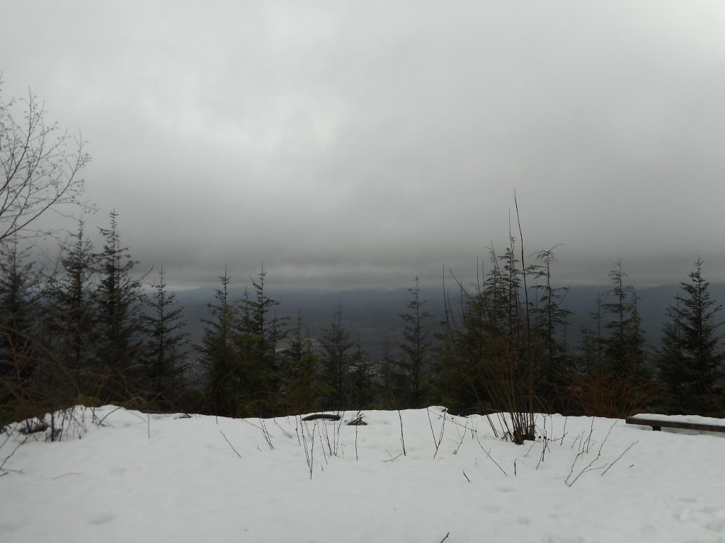
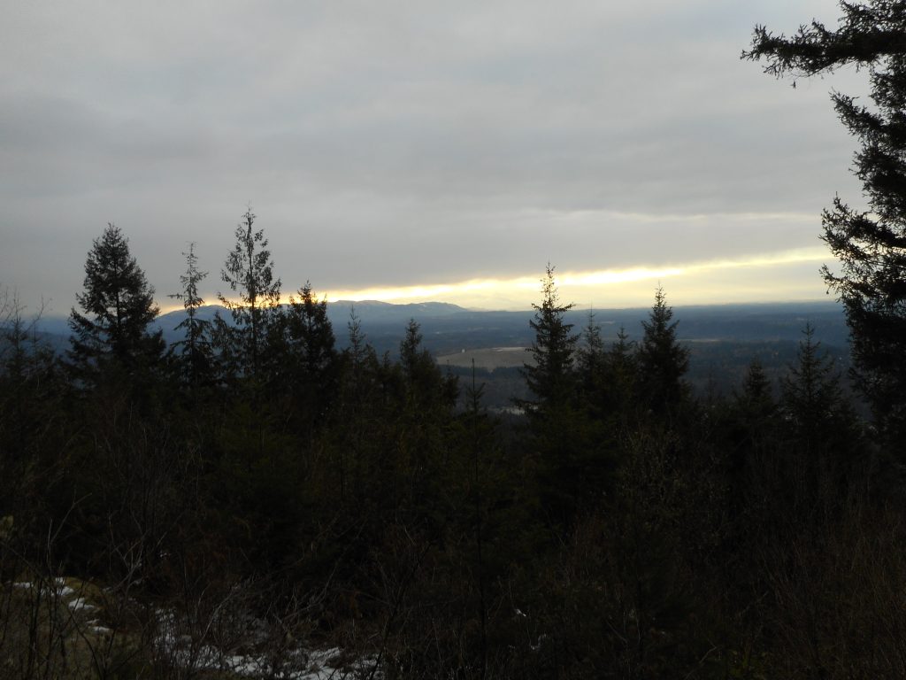
View from Stan's Overlook
View from Stan’s Overlook

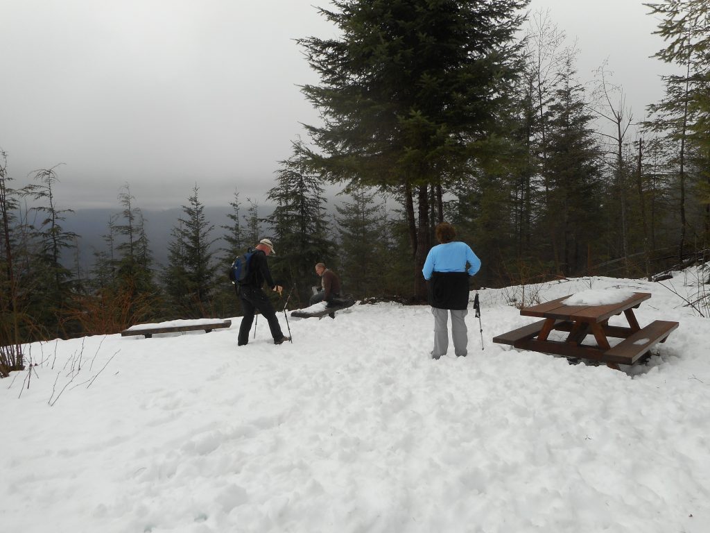
I met Ken and Wendy and Greg today at the Exit 27/Snoqualmie Point parking lot.  We did a short hike to Stan’s Overlook with a bit of snow (see above).  Ken and Wendy had plans so we kept it short.

I am going to go somewhere tomorrow – perhaps to Tiger 3 – so I will get a really good workout in before it is back to the grind on Monday.

Don't know who Stan is but this is his overlook
Don’t know who Stan is but this is his overlook

Track:

http://adventures.garmin.com/en-US/by/djhiker/stans-overlook-2-11-2017/#.WJ98QE2QyM8

Little Si 2/4/2017

Big Si
Big Si

Raining like crazy today so we did a short (4.7 miles) hike up Little Si.

Pretty slushy snow on the bottom half of the trail, just wet the rest of the way.

Not much of a view at the top:

Not much to see today

But a fun outing with some great guys:

David, Carl, Mark, Mike on top of Little Si
David, Ken, Mark, Mike on top of Little Si

Snowy Mt. Washington 1/14/2017

Carl and friend on Mt. WA summit

The plan was to meet Carl, Ken and Mark on the Mt. Washington trail.  I am a slower hiker than these super-fit gents so I got an early start and met them on the trail. I stopped at “the pond” and waited only a few minutes and there they were.

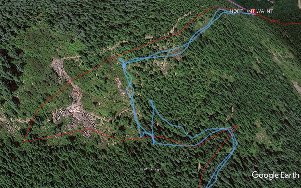
I almost kept in touch with them the rest of the way but then we got to a section where the snow was so deep that the normal trail was obliterated so hikers/snow shoers before us just went straight up the mountain.  In the Google Earth image below, the red is the actual trail, from an older track, and blue is the route we took yesterday.

Red = trail Blue = our route

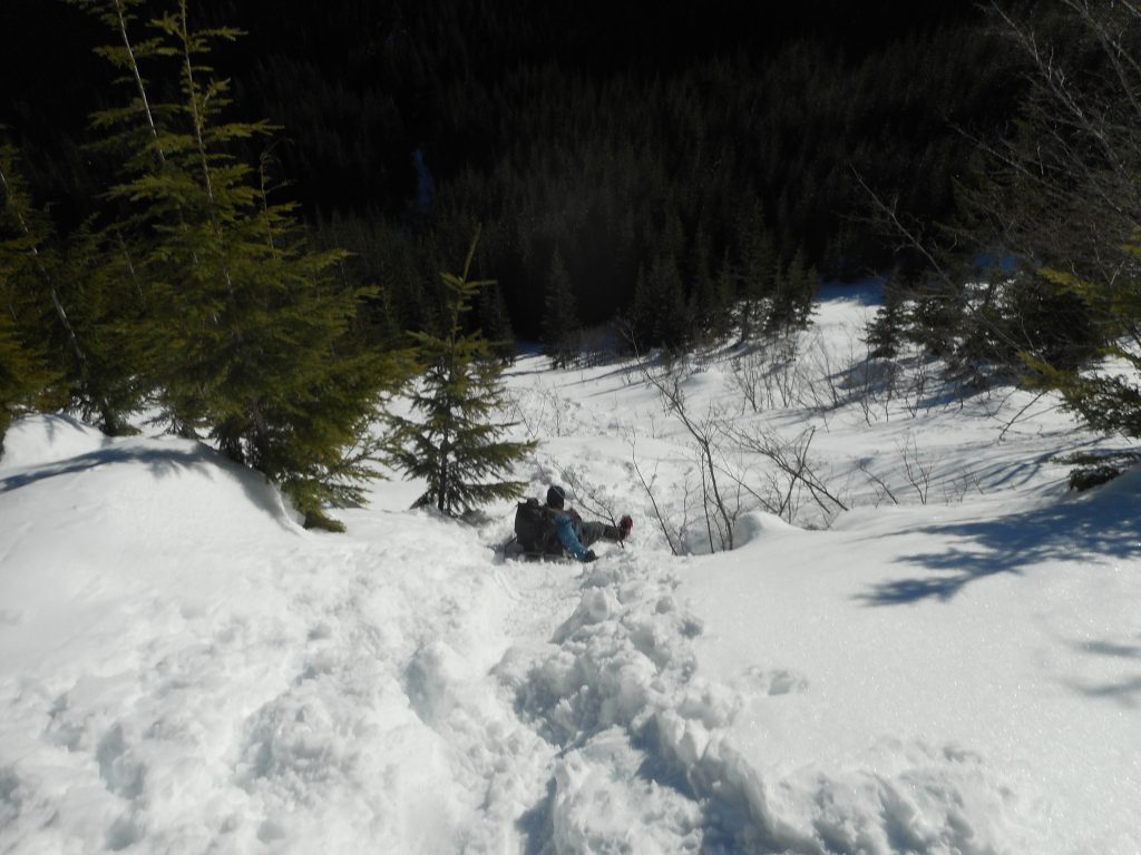
Looks benign on the 2-dimensional image, but I can tell you it was straight up.  When we were descending we didn’t fool around, we just slid straight down:

Sliding down on our butts

I love this hike.  It is not known as particularly scenic but it does have its moments, particularly on the summit.

Mt Washington summit/Rainier
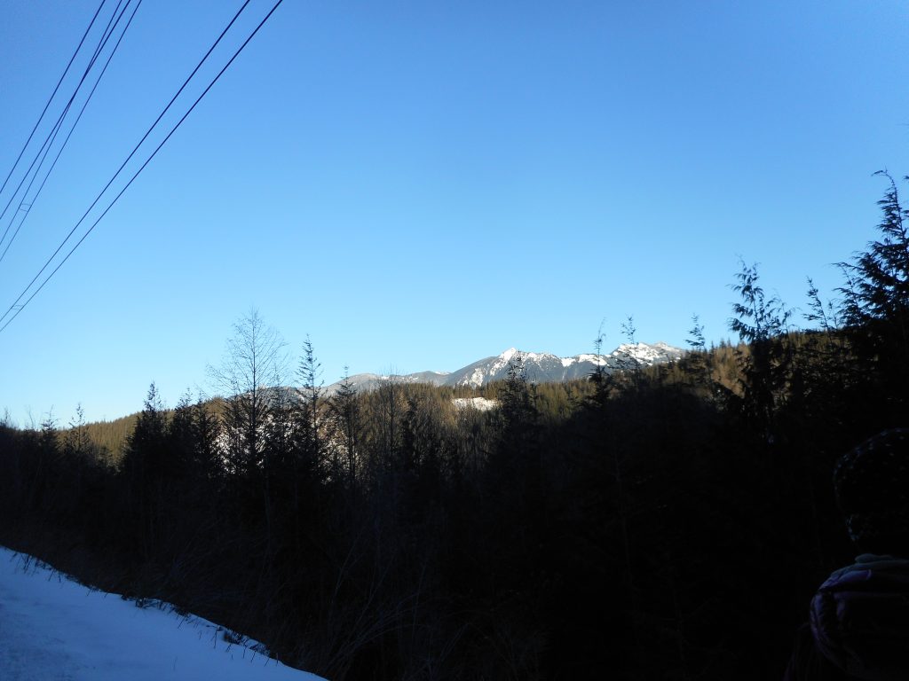
NE view from the trail
North view from trail

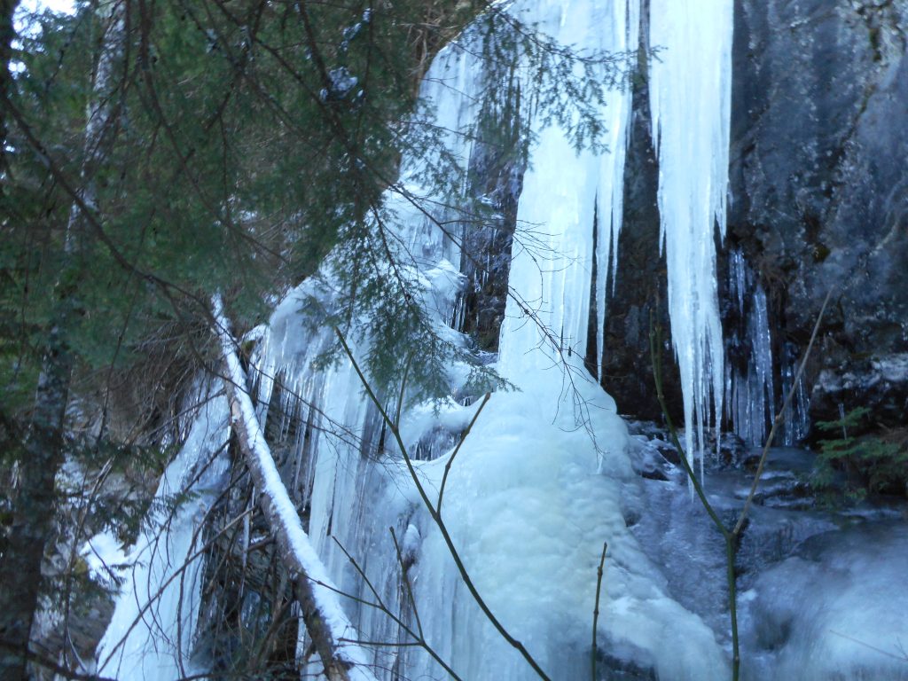
Plus, there is a rocky wall with enormous icicles:

Icicles on steroids
Icicles on steroids

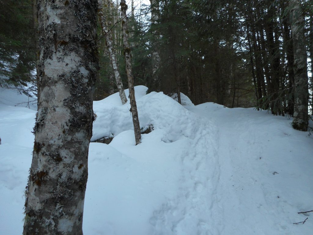
As for the trail, the snow was consolidated enough that we made it easily with only traction on the boots.

Miles and miles of this

A great hike on a gorgeous winter day.

Visualization:

http://adventures.garmin.com/en-US/by/djhiker/mount-washington-1-14-2017/#.WHt5Mk2V85s


Snowshoes w/ Jill, Derek, Cam 1/12/2017

Looking north from Iron Horse Trail

It was a beautiful, sunny day but a bit cold for Camden.  The temp was somewhere in the teens with a brisk wind when we got up to the Iron Horse/John Wayne Trail.

We parked on the street outside the Exit 38 parking lot and, after gearing up with snowshoes, and Camden’s backpack (Cam is the cargo) we walked up the service road that parallels the parking lot.

Derek took his snowshoes off right away.  The snow was packed down pretty well, nothing new and fluffy, but JIll and I kept ours on because we didn’t want to carry them.  I had not brought along the gear I use to strap snow shoes to my backpack.

Anyway, we did just fine up to the IHT, and we even walked a little ways west to check out the Mt. Washington trail head (where I am going on Saturday).  The problem started not long after we started heading east.

I admit this is a lousy picture but it was cold

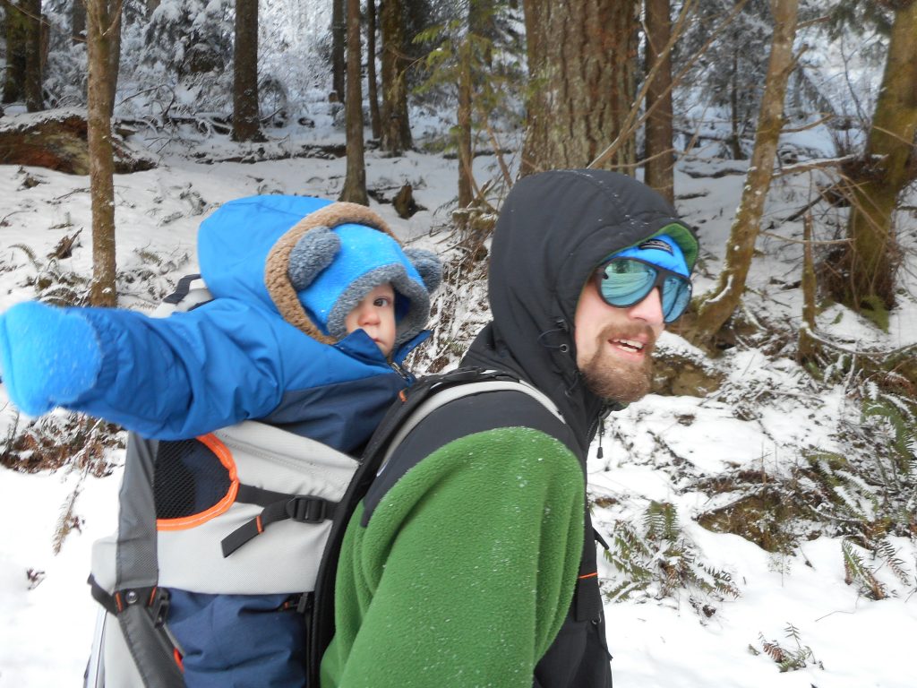
I snapped the picture above at just about the moment we decided to turn around and go back to the car.  When we got hit by the wind poor Camden got really cold, and told us in the only language he has that he was not happy.

So we turned around and our snow shoe event was pretty short.  But still a fun outing and afterwards Derek bought us breakfast at a cafe in North Bend that was used in the TV series “Twin Peaks” (I had coffee but no pie).

A fun day!


Snowshoeing with the family 1/2/2017

Jan, Jill and Finley in snowshoes
Jan, Jill and Finley on snowshoes

We did a fun hike/snowshoe outing today.  We parked about 1.5 miles past Exit 38, where a service road intersects SE Homestead Valley Road and hiked up the service road.

In the summer you can take this road up to a spot where it intersects the McClellan Butte trail and start that hike from the road.  It cuts about 3 miles from that hike.  But you really need a Jeep or high-clearance truck to make it up the road in wintry conditions so we just hiked.

Derek and Cam
Derek and Cam

The whole gang turned out and the round trip for Jan, Jill and Fin was about 4.5 miles.  Great job in the snow for folks who rarely get out.

Derek and Cam and I went a bit further west on the Iron Horse Trail, to the vicinity of the Mine Creek Bridge.

Looking north from Iron Horse Trail

What a beautiful day and a great ending to my little Boeing break.  Tomorrow it is back to work.

Last Hike of 2016 – 12/31/2016

I didn’t take the camera today, just the Garmin.  I did not join the group today, as they were planning a hike that would have been too long for me today – family considerations – so I just did a little jaunt up Rattlesnake Mountain from Exit 27 side today.

It was 5.8 miles, 2 3/4 hours, a fun little hike.

I have taken this route before, but never alone, and never in the daylight.  I was able to focus on the trail and the forest today and I noted happily that, immediately after Stan’s Overlook (see visualization, below) the woods get thicker and darker.  It is a beautiful environment.

And the trail at this point is snow-covered – well packed, and with my Ice Trekkers, no problem to navigate.  So, all in all, it was a beautiful hike.

http://adventures.garmin.com/en-US/by/djhiker/rattlesnake-mountain-sno-point-start-12-31-2016/#.WGgTEU2V85t

Cable Line Trail 12/28/2016

No GPS or photos today, strictly a conditioning hike.

The plan was to meet Ken at the Cable Line trail head at 11:30.  I got there about 10, planning to walk west to find where the High Point/Cable Line trail head area intersects the Puget Power trail.  And get a couple of fun and easy extra miles in.

My phone rang about 10:30 – Ken said he was going to be early so I turned around and hiked back.  We headed up the Cable Line at 11, with Ken in the lead.

In fact, I made it to within about 10 minutes of the summit when I met Ken coming down.  He did the trail in 56 minutes, a great time.  I had been chugging along for 1:20 so I would have done it in 1:30.

One of my goals for next year is to get in better shape and hit the summit of West Tiger via the Cable Line in less than an hour.

I will use this post to track my progress.

Christmas Walk 12/25/2016

A walk on Christmas Day 2016

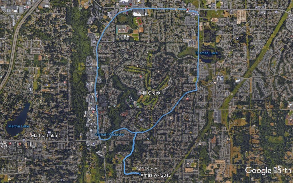
I was going to hike this morning but I got up so late (about 5 am) that I had to settle for an 8.2 mile walk in the neighborhood.

Merry Christmas!

Squak Mountain/Margaret’s Way – 12/17/2016

The View from Debbie's View
The View from Debbie’s View

We (Ken and Wendy Mallit, Carl, Greg and Mark) hiked Margaret’s Way today, a new hike for me.  This is a northern trail on Squak Mountain.

About 6.6 miles, 1,900 feet of elevation gain so fairly moderate, but fun and a nice workout.  We noticed a Squak Mountain map at the trail head and a quick glance showed lots of interesting trails to explore on Squak.  Great place to hike in the winter.  The trail today was virtually snow-free.

http://adventures.garmin.com/en-US/by/djhiker/squak-mountain-margarets-way-12-17-2016/#.WFWYbE2V85s

Visualization above.  I may be babysitting next Saturday, Christmas Eve, so won’t be joining the group.  I am off the week after Christmas and figure to do at least three hikes.

Should be fun.