Zig Zag and Beyond 4/27/2016

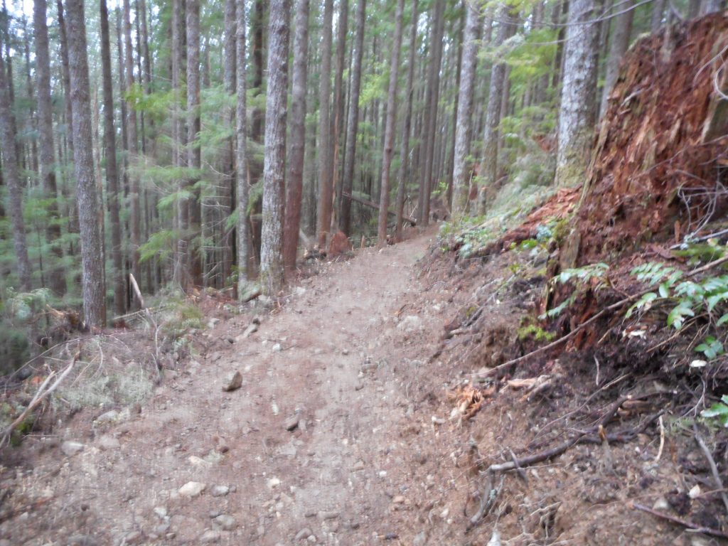
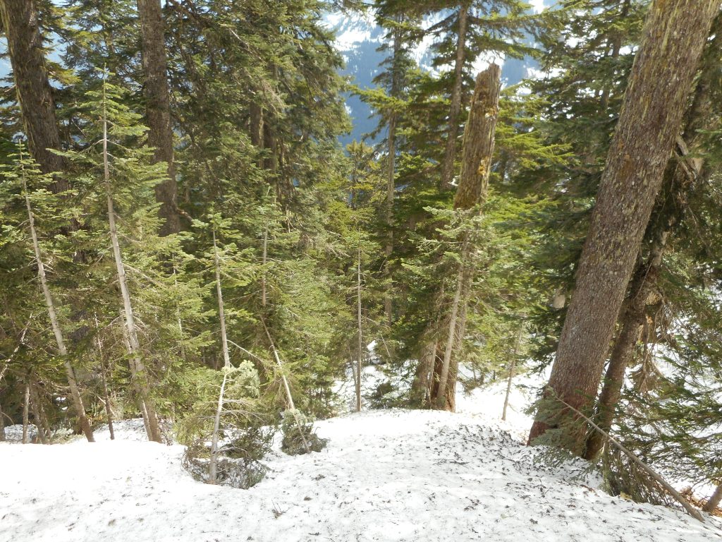
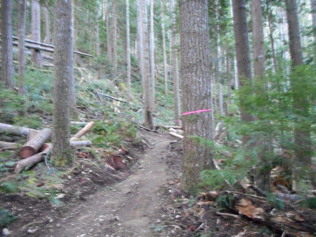
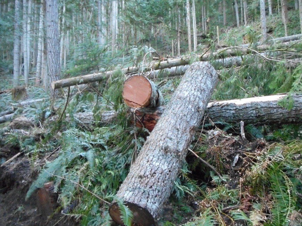
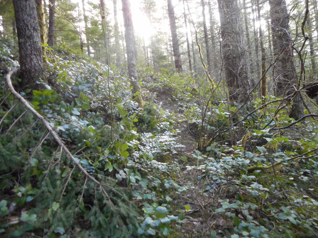
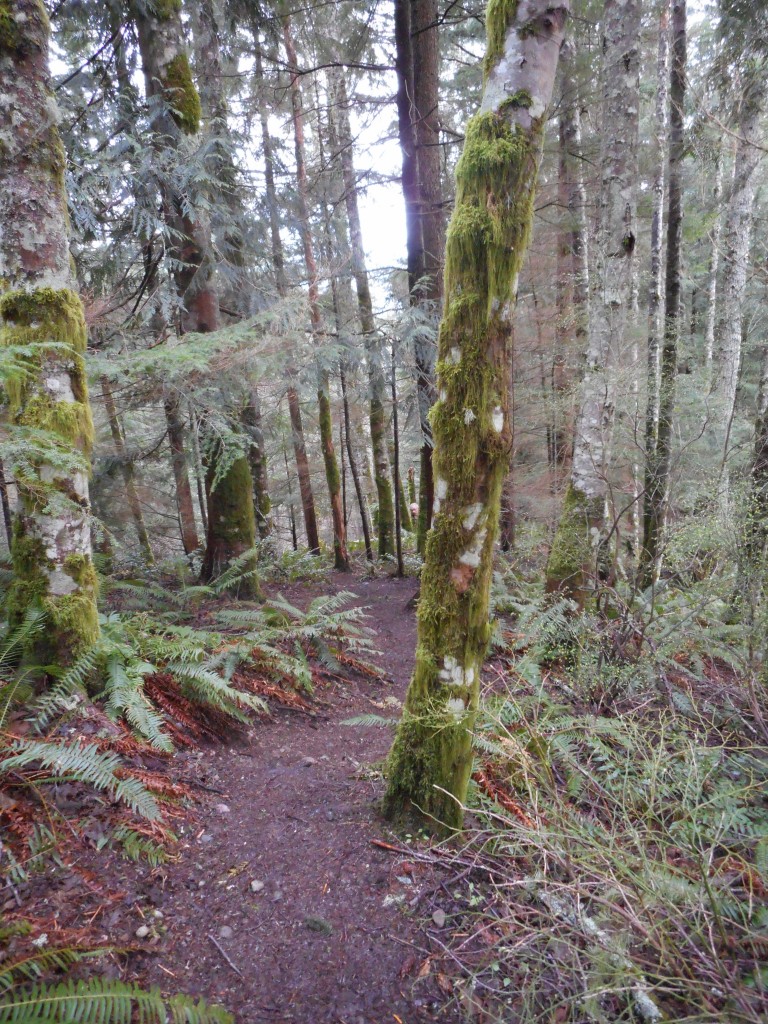
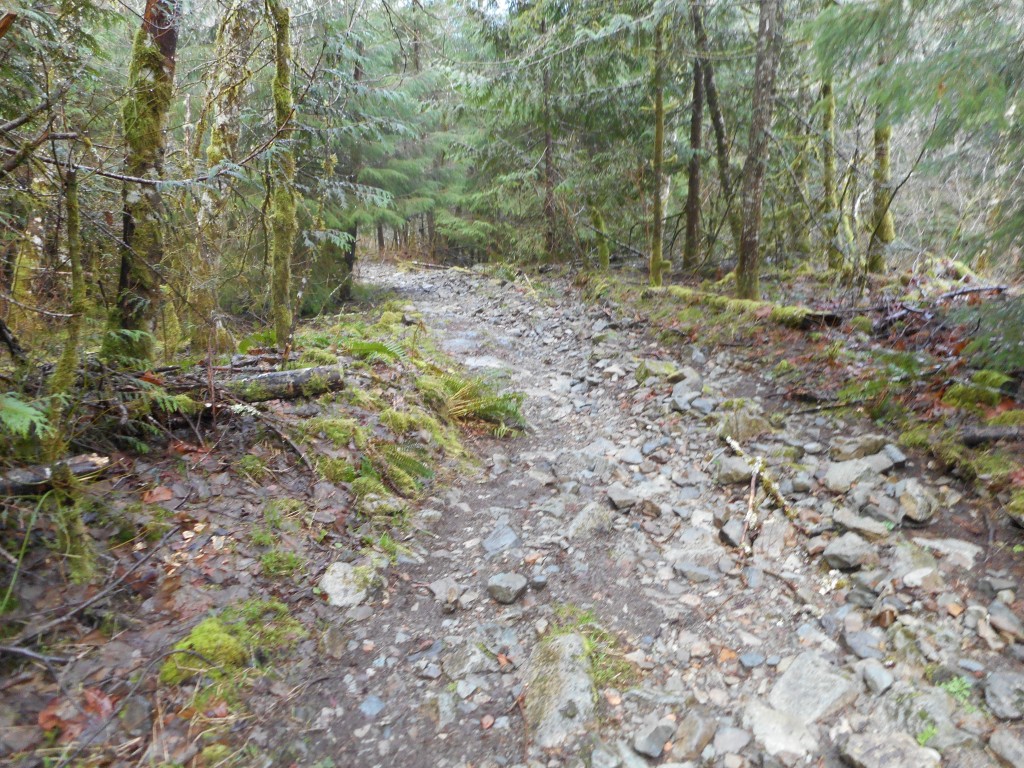
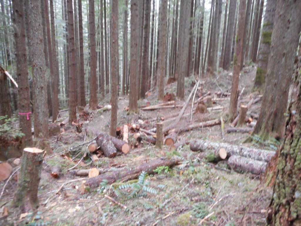
4 miles of this
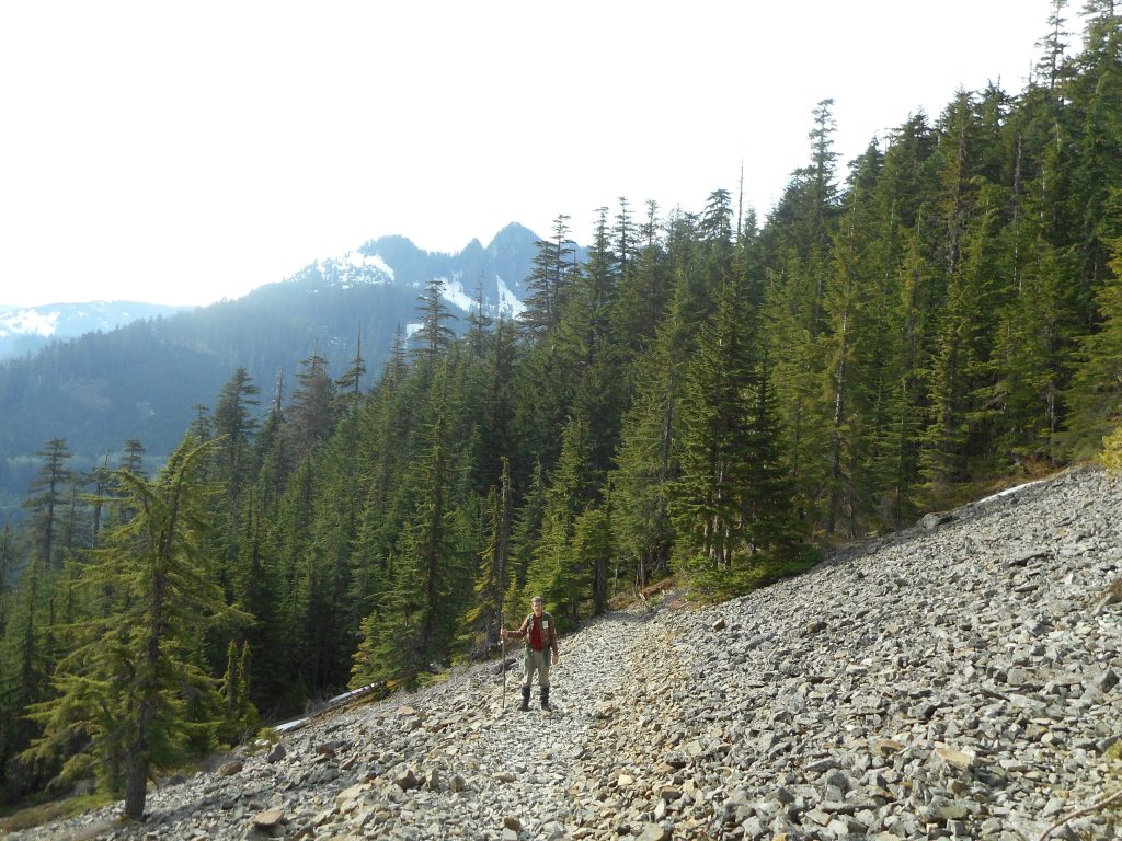
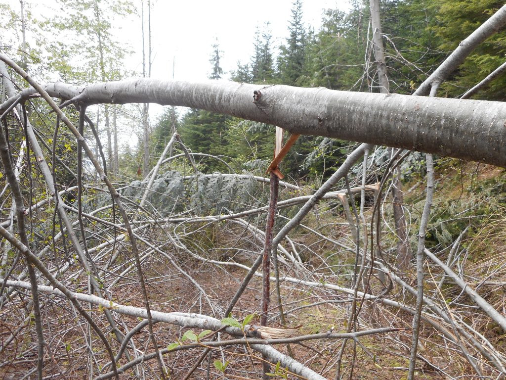
4 miles of this

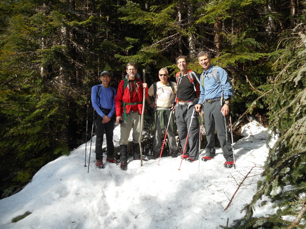
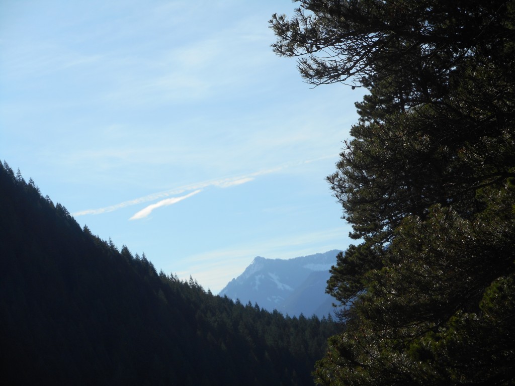
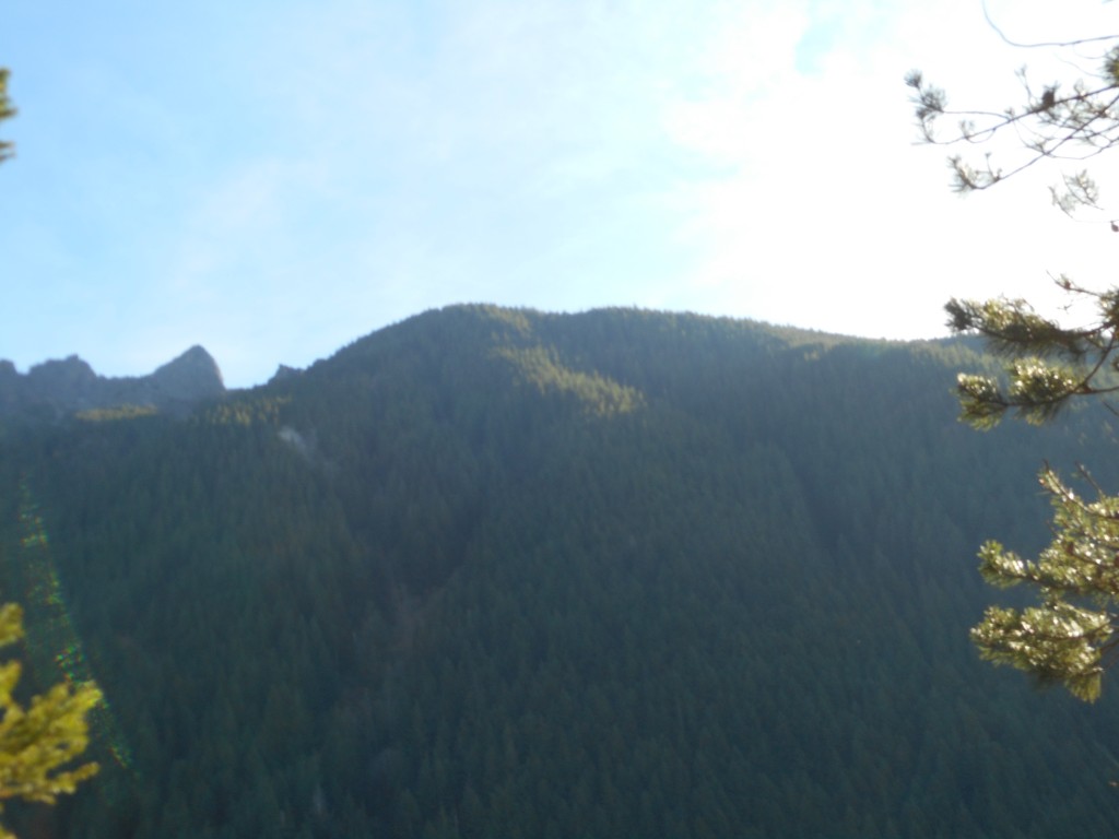
This was a tough hike.  We went up the Zig Zag trail to the junction with the forest roads.  You can go left on the immediate road and go back down (eventually) to IHT at Garcia, or cross the road (they are, as you can see in the photo above, not exactly roads in the sense we are used to experiencing, they are decommissioned forest roads) and go up to Truck Summit.  Or you can do what we did, we went right, expecting to summit Chester Peak at least.

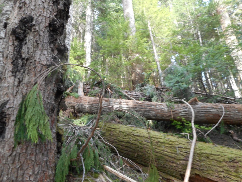
Boy, were we wrong.  We were stymied by four miles of the worst blow downs you can encounter.  We were making progress at far less than a mile per hour.  We had to zig and zag (ironically) across the trail to find little areas where we could squeeze by.

It was not fun but at least I got this area mapped.

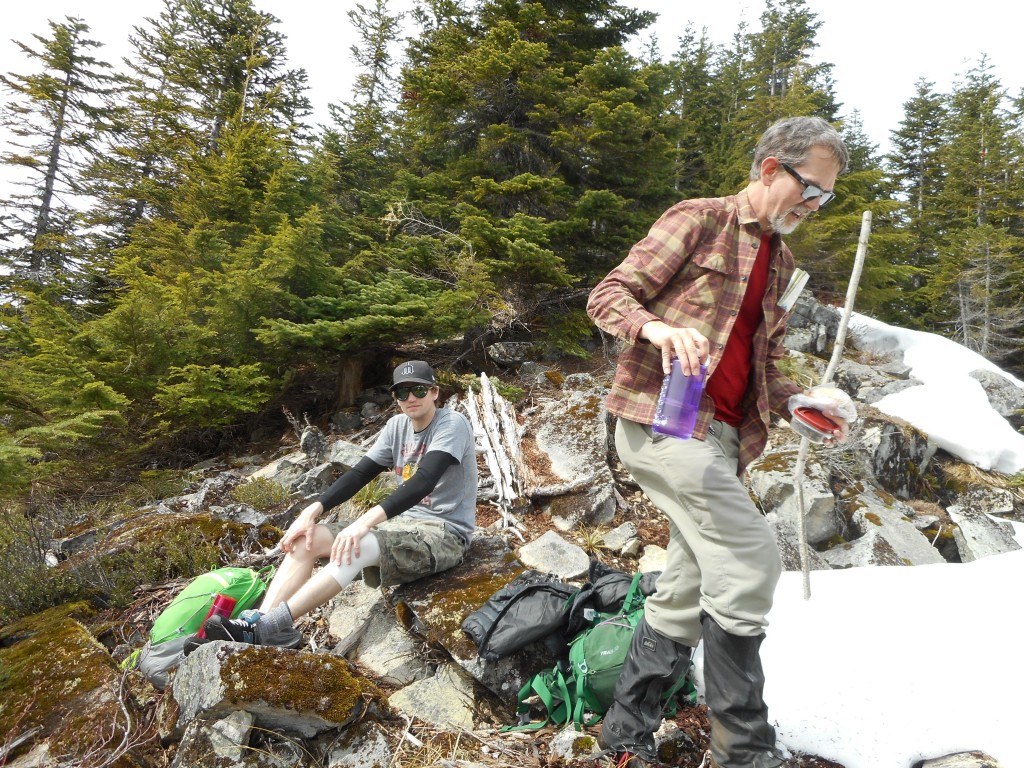
Along the way, pretty much in the middle of now where we (Mark Garrett and I) found an escaped party balloon.  So that’s where they go!
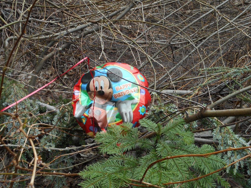
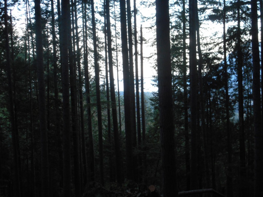
Where balloons go to die

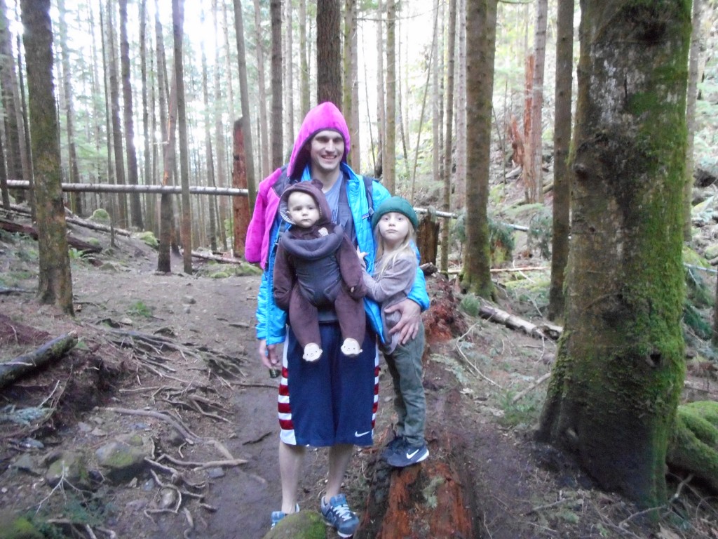
I think Mickey was laughing at us for doing such a tough hike, a hike that looks like a piece of cake on the map.

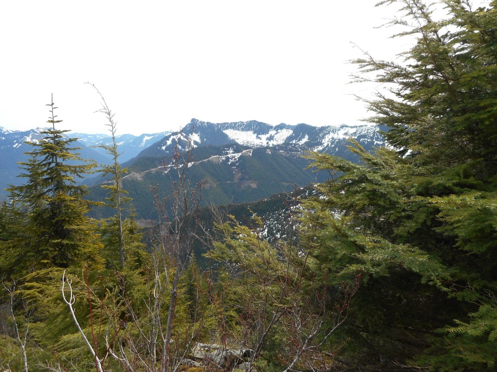
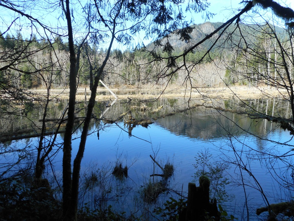
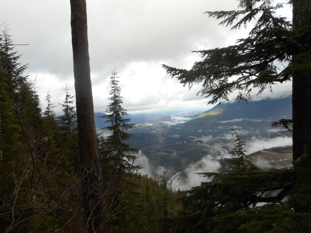
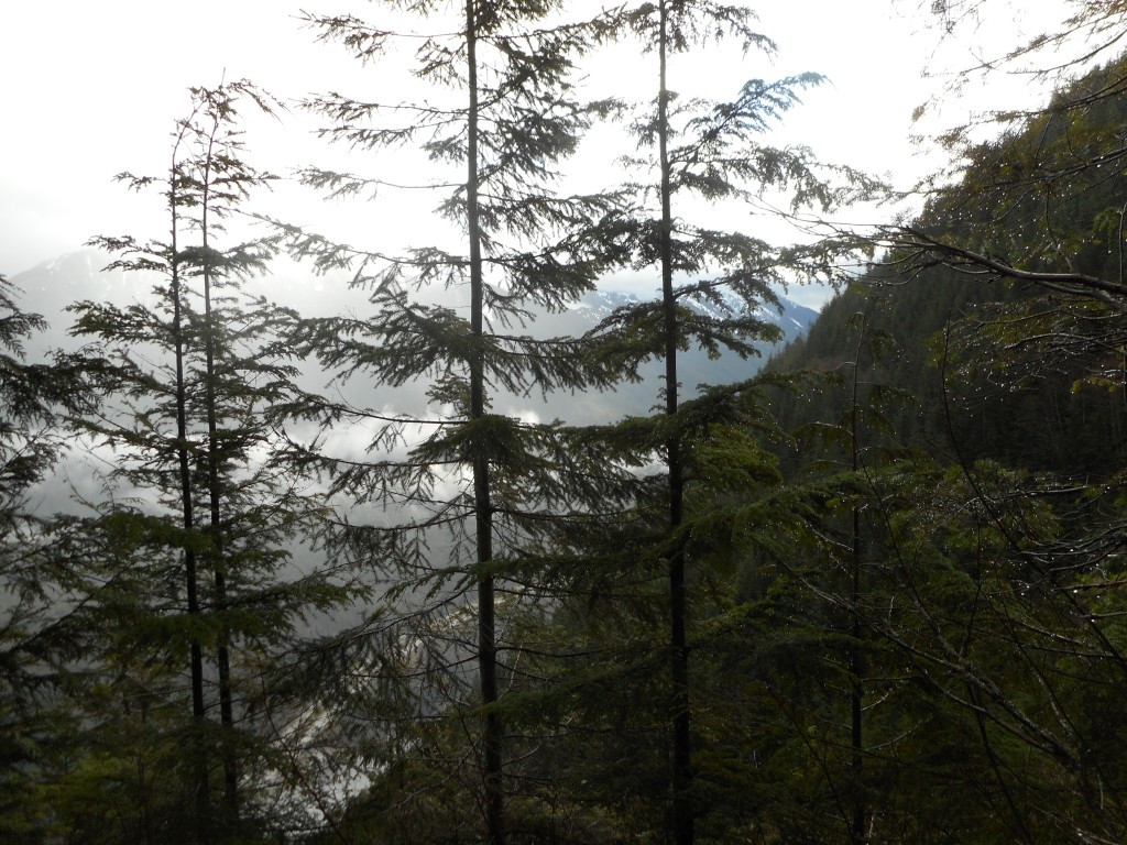
We did run into some interesting sights along the way:
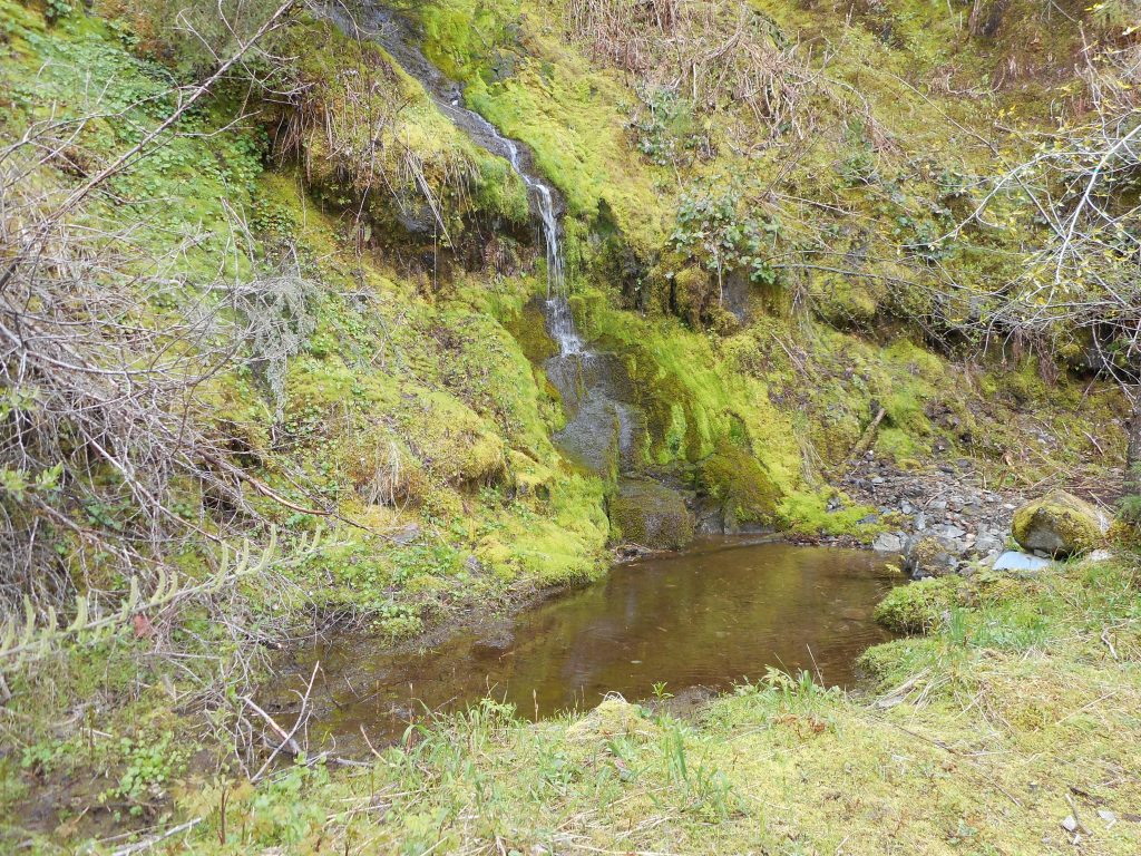
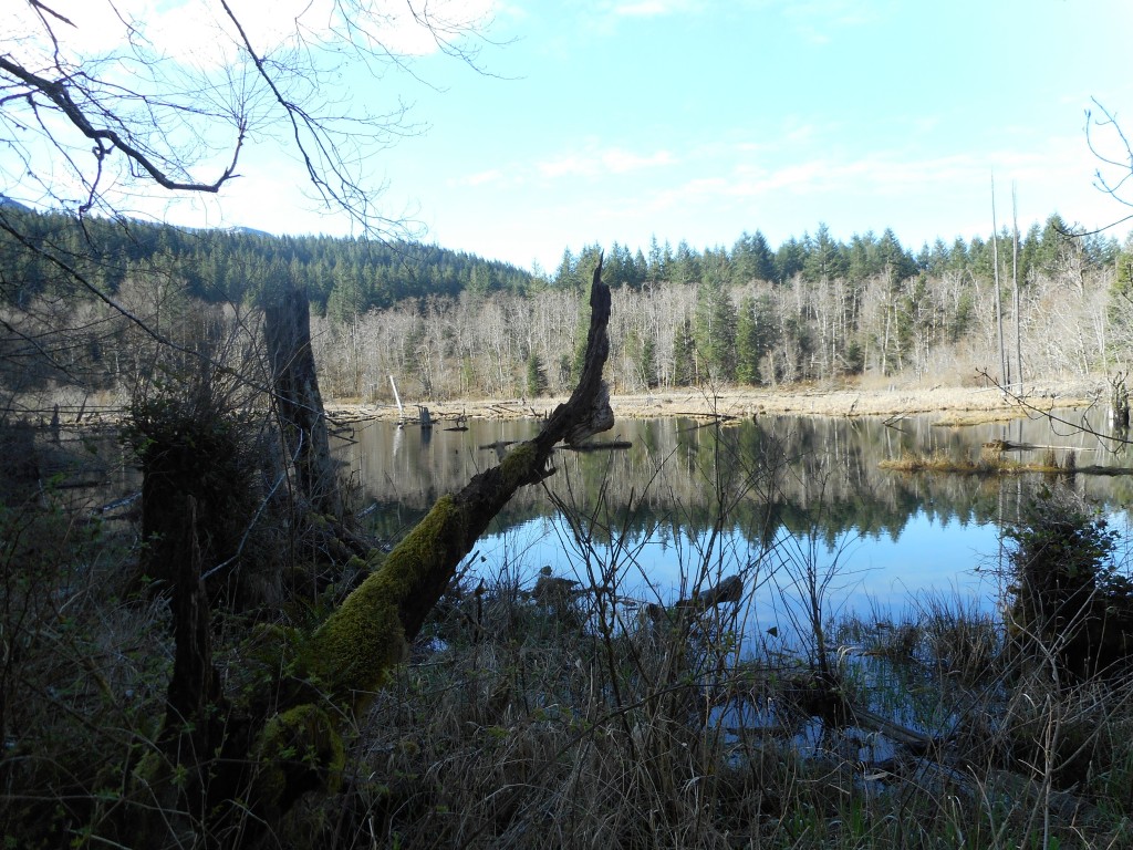
Hidden waterfall and pond

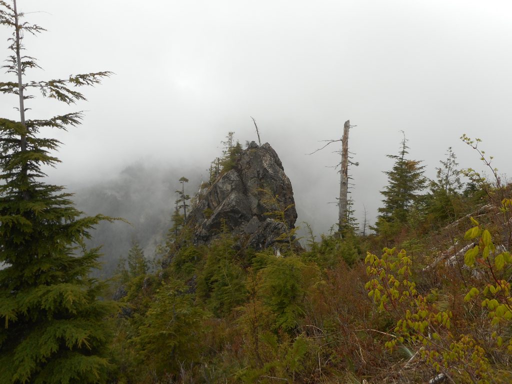
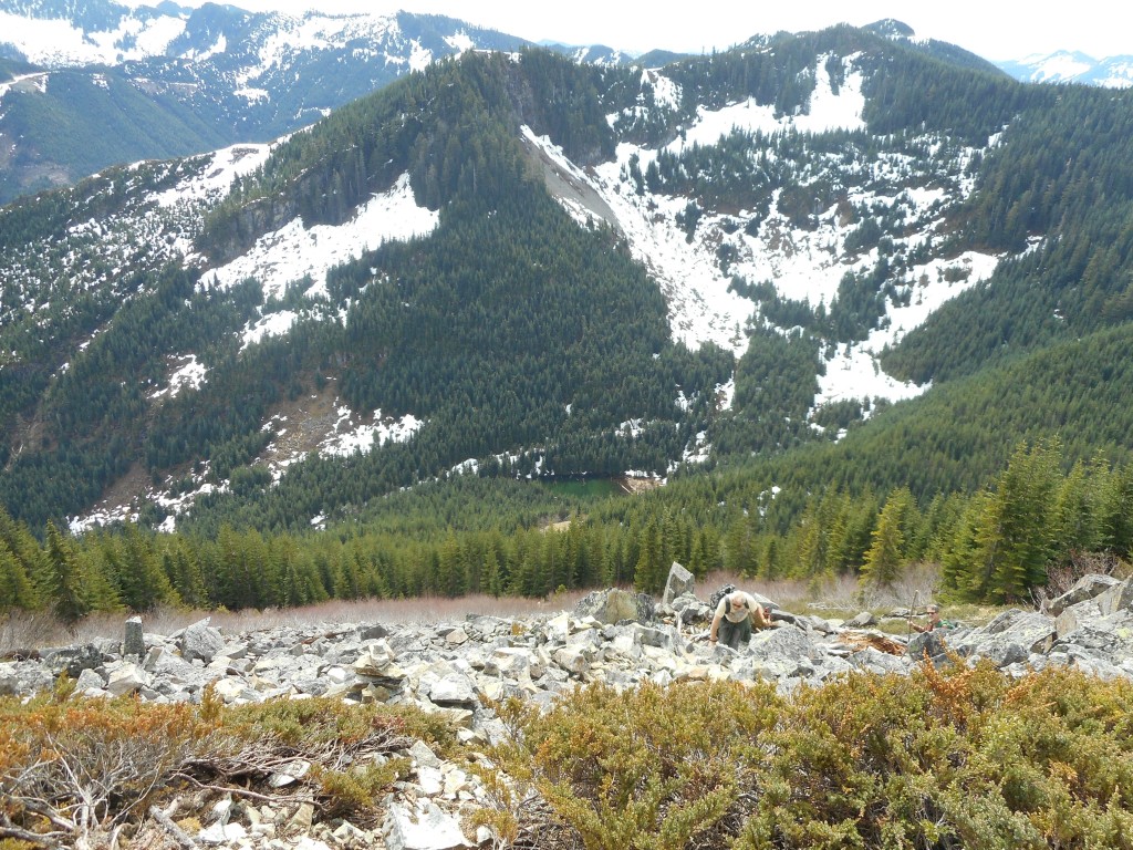
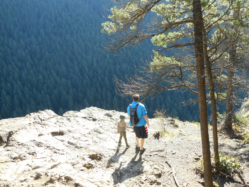
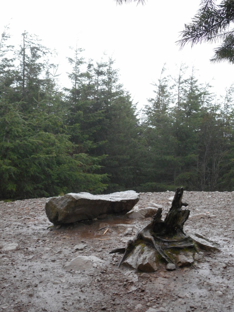
And this very very cool giant rock:

Rock in the wilderness

If Derek is reading this I can tell you we now know what happens when you go past J’s Landing.  The trail is steep and narrow but pretty good until it looks like it is gone.  At that point you bushwhack up a steep slope where you pick up the trail again.

Anyway, here is the visualization:

http://adventures.garmin.com/en-US/by/djhiker/zig-zag-and-beyond2/#.VyFHbpXlurQ

For some reason part of an earlier hike got into this track but the big loop to the east is what we did today.  About 8.3 miles that felt like 20 miles with all the blow downs.

I just hope some trail angel cleans it up.  Without all those branches and trees across the trail this would be a wonderful hike.
To the (current) end of Olallie Trail – 4/23/2016

The wages of trail building

I finally made it to the end (as far as they have worked) of the as-yet-unopened Olallie Trail.  If you look at the visualization linked at the end of this post you can see it ends about 1/3 of the way up the west slope of Mount Washington.

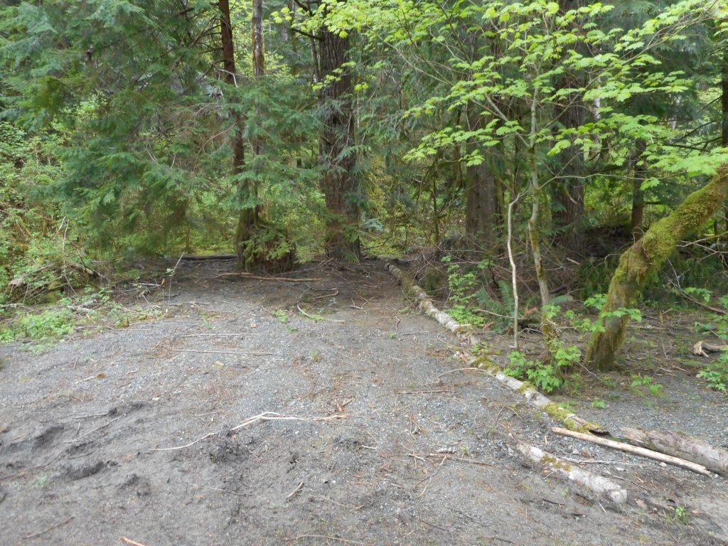
This is where you leave the IHT to get to the trail:

Start of Olallie from IHT

You can’t see it in this photo but just to the right of the two trees in the middle is a little boot path that leads past a lean-to created by the workers up to the Olallie Trail.

It is a wonderful trail – maybe not ready for business yet, but so far, so good:

Typical Trail View
Typical Trail View

From the IHT to the eastern end of Olallie is about 3.3 miles.  Another 2 or so to the parking lot, plus a little side-trip and today’s hike was a pleasant 11.2 miles.

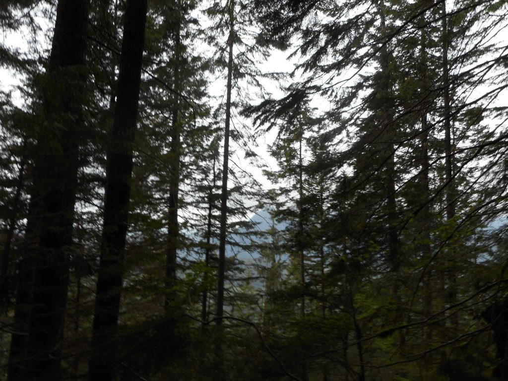
Si through the trees

Above is probably the best view from this trail right now.  Once it gets closer to Mt. Washington the western and southern views will open up.

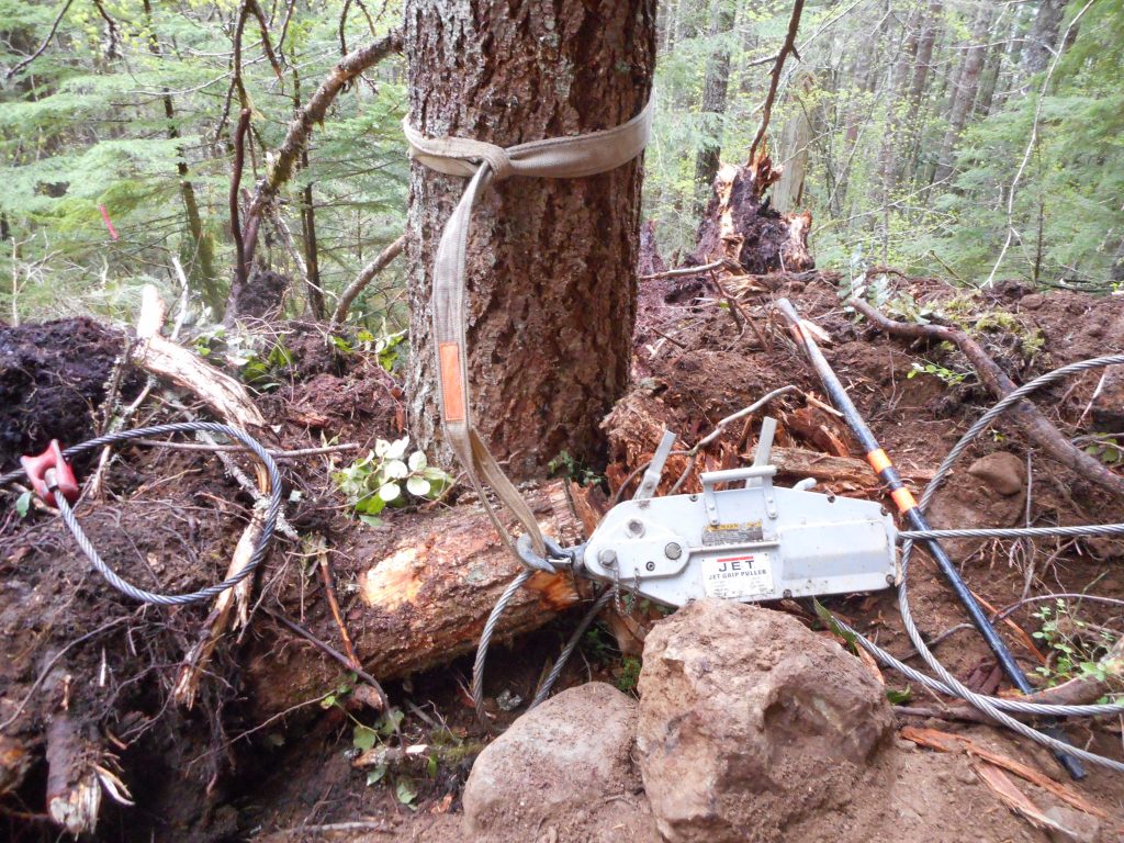
There is a lot of equipment along the trail, including this, which was winched around a tree, as if waiting for Monday morning to pull it down:

Tree-pulling gizmo
Tree-pulling gizmo

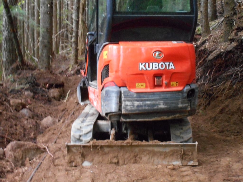
Just out of this frame was another excavator like below, I presume the device is connected to the excavator and then pulled.  Tough job those folks have.

Under construction
Under construction


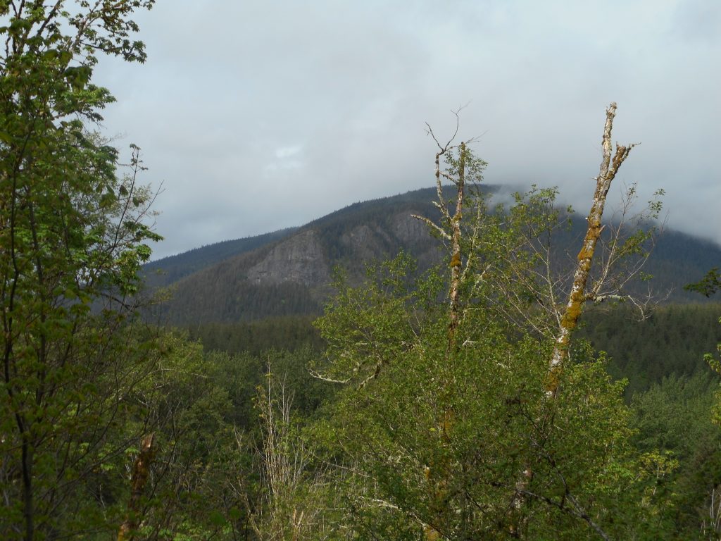
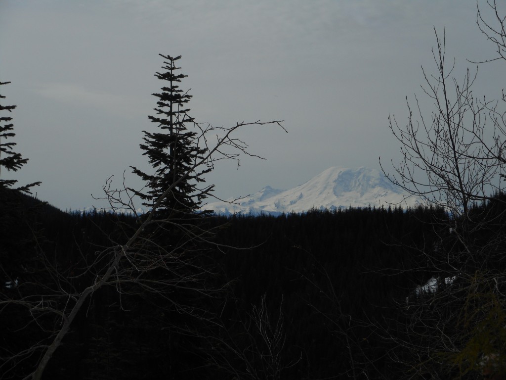
Cloudy Rattlesnake Mountain

On the way back, going west on IHT, it was a little cloudy and Rattlesnake Mountain looked kind of cool.  Perfect day to hike, 50ish and not real sunny.

I will be going back from time-to-time to measure the progress.

Visualization:

http://adventures.garmin.com/en-US/by/djhiker/olallie-trail-4-23-2016/#.VxvQmpXlsbw


Attempt at Mount Kent 4/21/16

Blow Downs
Blow Downs

The blow downs, which were numerous (a common theme this winter and spring) were not what stopped me and Mark Garrett from reaching Mt. Kent summit.  There was just too much snow.  We kept losing the trail:

Where the heck is the trail?
Where the heck is the trail

We had to scramble straight up the side of the mountain on several occasions.  Once, we found our progress stymied by a cliff that led to a waterfall.  We scrambled straight up from there.

I think this is not a hike that can be done with so much snow around.  We will try it again later in the year.

Mark in the talus field
But the views are nice

So, if reaching your goal is a requirement for success, we failed.

If getting a vigorous workout (and how!) and having fun are you goals, the hike was a success.

Mark’s trip report on the WTA website:

http://www.wta.org/go-hiking/trip-reports/trip_report.2016-04-21.4230816775

Visualization of the hike:

http://adventures.garmin.com/en-US/by/djhiker/trying-to-get-to-mount-kent/#.VxqRlJXlsbw


Change Peak w/Derek and Mark 4/16/2016

Change Peak Summit
Change Peak Summit

Derek and I planned to meet Mark Garrett at the eastern-most Exit 38 parking lot at 7:30 and that is about what happened.  At the same time, three hikers parked nearby and asked us directions to Hall Point.

We were planning to hike right by Hall Point and I started to explain the route, but it does get complicated so we decided to join up for at least part of the journey.  They were three very nice guys and perhaps we will meet up again sometime.

Me, Mark and our new trailmates

Mark is second from the left.

We wound up going up the Change Creek trail, bushwhacking across an area with a pond (there is a trail but the blow downs and snow obscured it), up to the Great Wall trail and from there to Change Peak.

Derek and Mark
Derek and Mark

Derek and I went back down Great Wall to Mt. Washington trail because Derek’s knee started to complain.

Mark went on, going further south on the Great Wall and ultimately to Greenway Mountain and then back on Mt.  Washington.  When he posts his trip report on WTA.org I will update this post and link to his report.

Derek and I did over 4K elevation and 12.5 miles, Mark has to have beaten that by at least 5 or 6 miles and 3K elevation.  Great job!

Looking east
Looking east
Scrambling
Scrambling
The Maestro
The Maestro

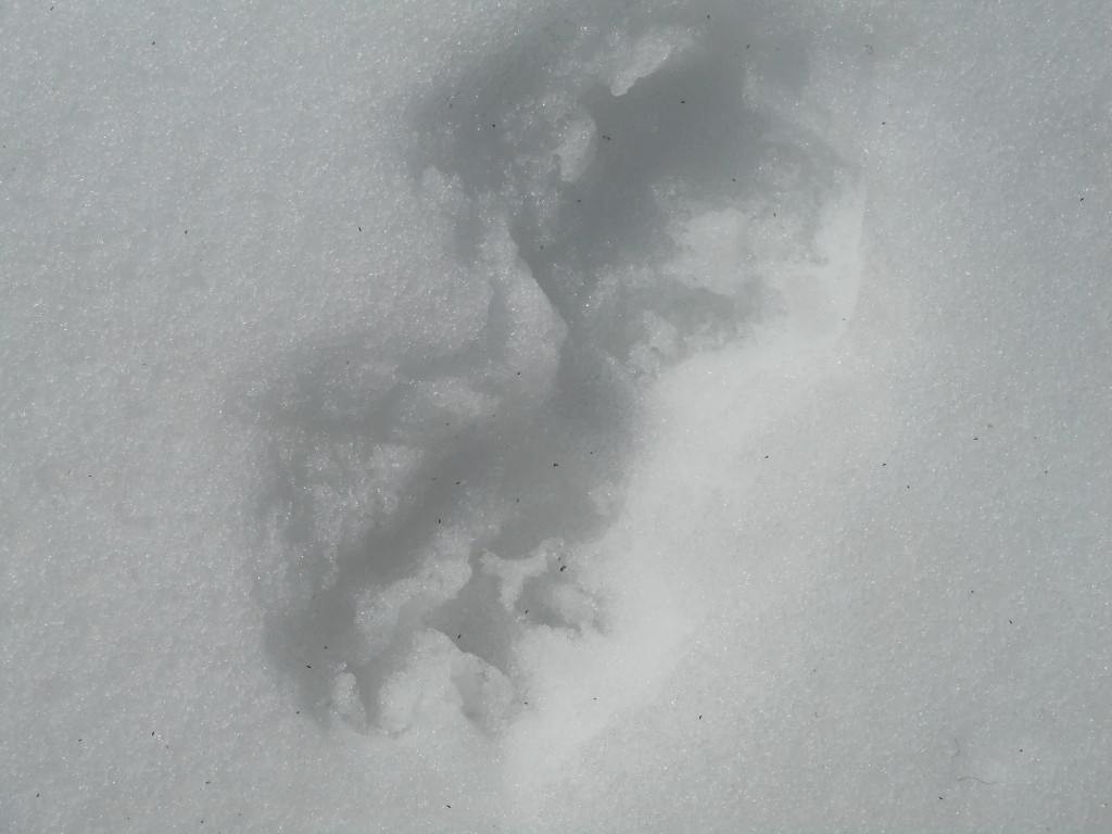
On the way down we ran into a series of tracks we could not identify.  Not big enough to be a bear, didn’t look like a Coyote, Derek thought it might be a bobcat or smaller cougar.

Mystery tracks
Mystery tracks

Here is a link to a Garmin Adventure visualization of our hike:

http://adventures.garmin.com/en-US/by/djhiker/change-peak-via-change-creek-trail/#.VxORkZXlsbw

Bottom line is that we had a great time (pending diagnosis of Derek’s knee) and it was wonderful to actually do a real hike after months of poking around at the edges.  Weather is improving, there should be a ton of great hikes coming up.

UPDATE 4/18: Mark’s trip report.  Long day for Mark, epic hike:

http://www.wta.org/go-hiking/trip-reports/trip_report.2016-04-17.6257045919


Finding the Olallie Trail 4/2/2016

Pink ribbons mark the way

I finally found the so-new-it-isn’t-opened Olallie Trail.

As I suspected, the bush-whacking path to the trail, which is clearly still under construction, intersects Iron Horse farther east than where I stopped looking last weekend.

The trail currently ends just a little bit west of where I hit it.  I followed it west for a few hundred yards, where it ended.  I could see the pink ribbons ahead.  Based on the map I found of the projected trail, they don’t have much farther to go to extend it to IHT.  However, they may be waiting to open it up until they have finished grooming it.

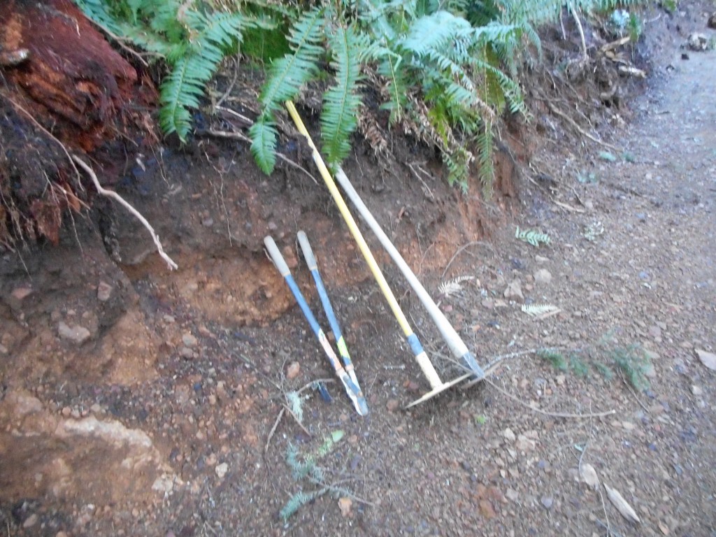
They are still at it – I found some of their tools along the trail:

Trail trimming tools

The trees they have felled to make the trail are piled up at all angles:

Clearing the way
Clearing the way

The part of the trail I hiked Saturday is all in the woods, which has its splendid moments:

In the woods
In the woods

But I am looking forward to going back and following it to at least Mt.  Washington.  I have no doubt this trail was built from east-to-west and I am pretty sure I know where it joins the Mt. Washington main trail.

Getting to the end of this trail is definitely on my ‘to do’ list.

Little Si with Derek, Fin and Cam 3/31/16

The gang hanging in the 'hood
The gang hanging in the ‘hood

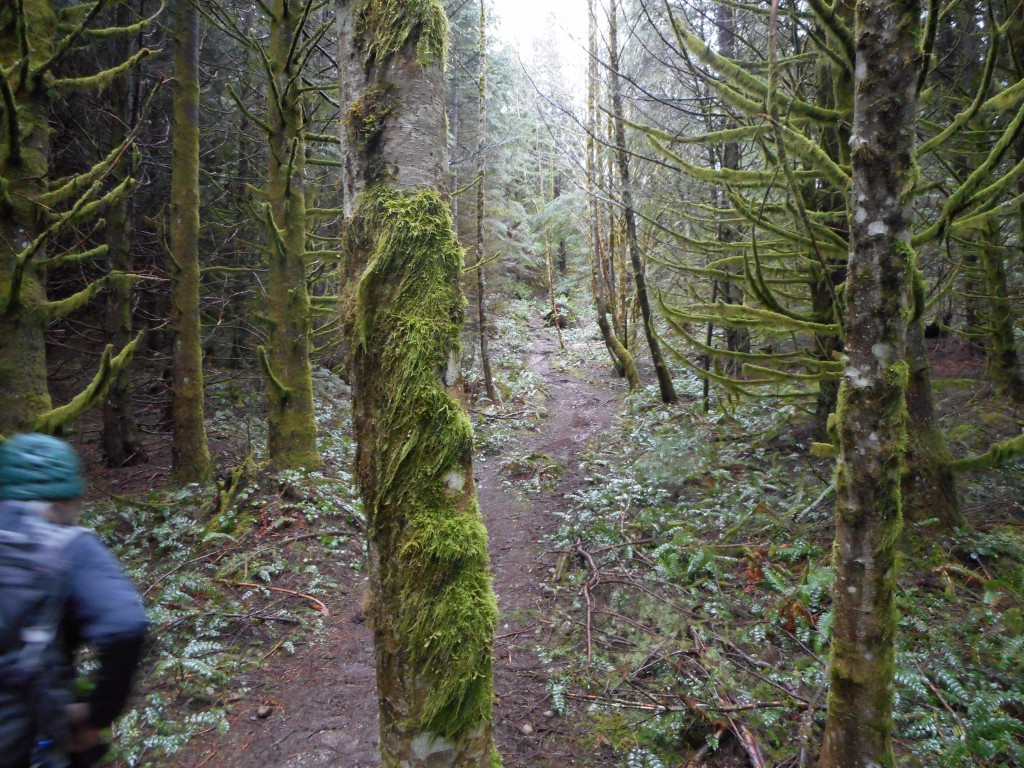
We had a wonderful little hike today.  Finley made it all the way to the top (about 2.15 miles) on her own legs, with just a couple of assists over the bigger rocks and odd quirks of the trail.

The weather the last couple of days has been perfect.  Sunny and mid-60’s.  We hit the trail just after 8am and the lot was almost empty.  Totally full when we left.  It is a popular trail.

You do get some nice views:

Nice panorama
Nice panorama
McClellan Butte in the distance
Big Si from Little Si

That’s Little Si’s neighbor, Big Si.  We were going to hike up there today, via the Old Mt. Si trail (which intersects the Boulder Garden Loop trail, which we passed today) but Fin’s mom and dad gave Fin a morning break from school, Camden is only 9 months old and doesn’t care so the old Grampy got to have an amazingly fun hike.
http://adventures.garmin.com/en-US/by/djhiker/little-si-with-derek-fin-and-camden/#.Vv2BnJXluM8

There’s the visualization, I call today a good one.

Fumbling Trail Finding Mission 3/26/16

Rainbow Lake looking southwest

That’s (the now partially closed) Rattlesnake Mountain in the distance.

The plan yesterday was to find the new bike/horse/hike trail they are building that will stretch from just east of Cedar Butte to somewhere east of McClellan Butte.  A beaut of a trail when they finish.  This is the trail whose construction has hosed portions of the Mt. Washington trail complex, in particular the Great Wall.

Anyway, I had read a trip report by a local hiker, known as a major expert on the area between Rattlesnake and the Pass, who had found this trail.  He put a map up and I printed the relevant portion and brought it along.

Unfortunately, I misinterpreted the scale of the map and thought I had hiked far enough east on the Iron Horse Trail, did not find any signs of the new trail (represented by ribbons in the trees for a few hundred yards, then it is down a ravine and there is the new trail) so I turned around and tried to find it from another direction.

The direction was via Cedar Butte trail to Saddle Junction and east on the South side Trail. So back I hiked west, up Cedar Butte, down the South side Trail, looking for the new trail in that direction.

Here is what the nice part of the South side Trail looks like:

The good part of Southside Trail
The good part of South side Trail

At least you can see something that looks like a trail.  But just over the hill the trail disappeared beneath a huge area of trees blown down.  I bushwhacked for a couple of hundred yards but I could not find a trail so I turned around.

I took a slightly different route back.  There is an unnamed trail just west of Boxley Creek.  The trail splits off going north at first and quickly heads west.  I had been down it before and that time I saw a huge deer on the trail.

This time all I did was enjoy this little side-trail.  It goes right by Rainbow Lake.  You can see this lake from the Iron Horse Trail and it is nice to see it up close.
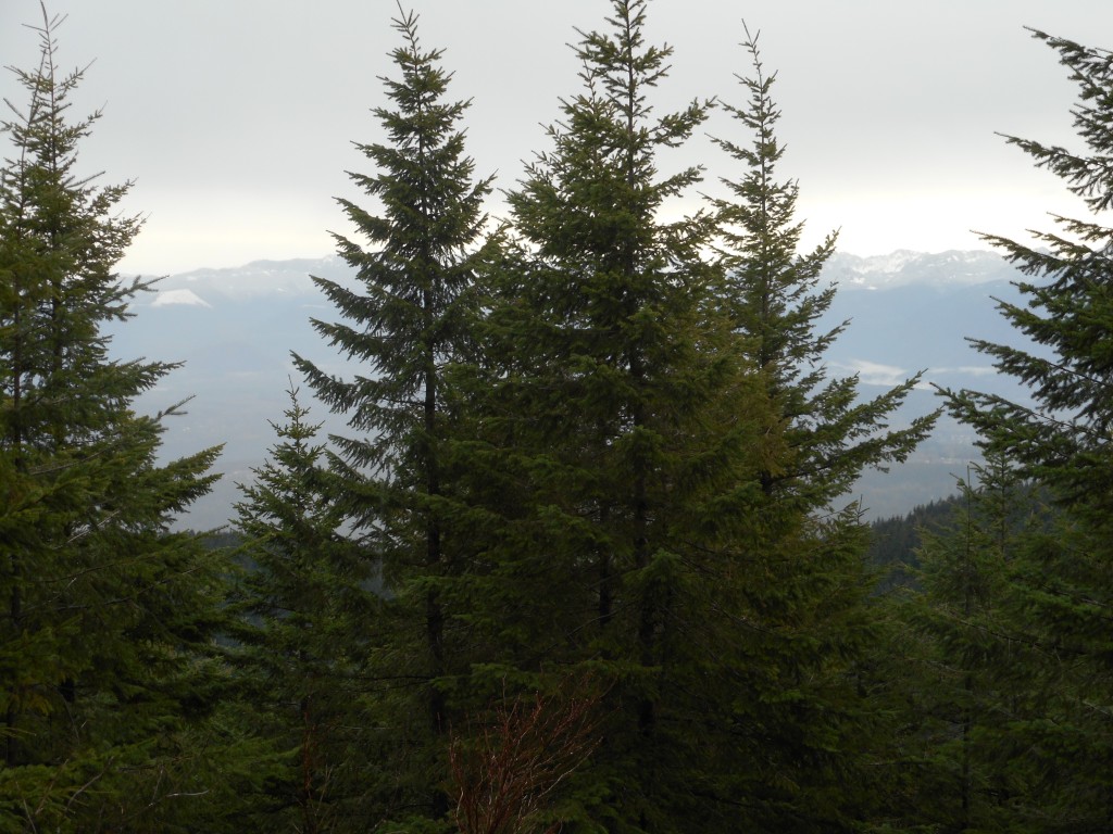
Here is a view from the western end of the lake looking southeast:

Rainbow Lake looking southeast

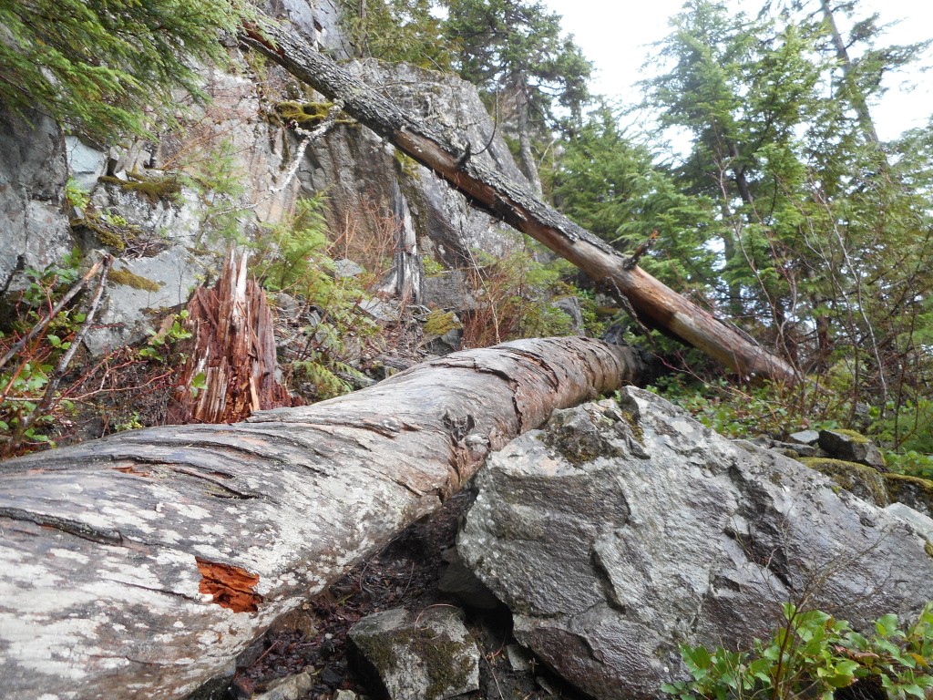
Here is a view I like, not because it is awesome, but I like the blend of old trees and mountains and new, ugly stuff that splits the middle of the picture like an axe through a skull.
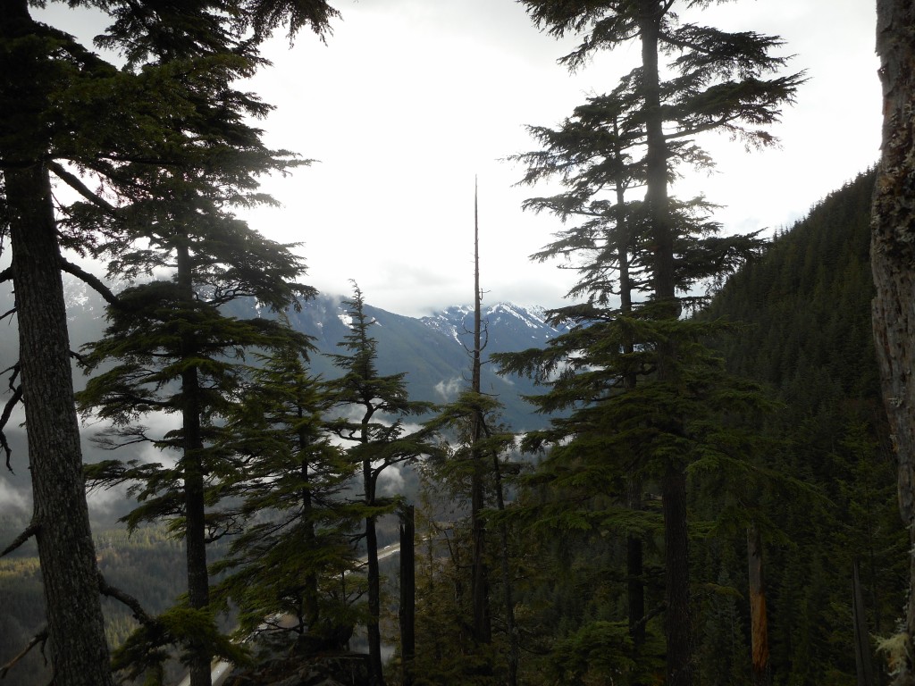
The old and the new
The old and the new

Here is a visualization of the hike:

http://adventures.garmin.com/en-US/by/djhiker/looking-for-the-new-olallie-trail/#.VvgtZJXluM8

The ‘2’ on the map is as far east as I got on IHT.  When I got home I compared the topo map I was following to the track of this hike on a CalTopo tool and sure enough, I see I did not go far enough east.

I stopped at Weeks Creek and I believe I need to go on at least another .4 mile.

I will try again at my first opportunity.  This would be yet another route to Mt. Washington summit, adding to our collection (currently at six).

Neighborhood Walk 3/20/16

Beauties and The Beast

A snap from last Friday, the 18th, when both of the Little Angels stayed with us.  Fun times!

Today Fin and Jill were on a Girl Scout camping trip, Derek was off work and hanging with Cam, so we hit the trails in Snoqualmie.

Visualization of the hike is here:

http://adventures.garmin.com/en-US/by/djhiker/a-hike-with-derek-and-cam-around-their-local-trails/#.Vu9IYpXluM8

A fun little walk/hike, and Camden had a great time.  He is disinclined to be bored and it isn’t boring walking around the woods with Daddo and Grampy, so he was smiling most of the time.

Plenty of rain in the forecast for next week but I am going to try to start a new good habit if I can: drive to one of the nearer Tiger Mountain parking lots and, if I can get a spot, do a little (2 to 2.5 hour) hike on Tiger, just for the conditioning.

If I can do two of those a week, on top of any other hikes we do, I should start getting fitter and might be in pretty decent backpacking shape by May.

We are planning a few overnight/2 or 3 night backpacking trips and I need to get ready.

Of course, I look forward to the day when I can hike with Derek, Fin and Cam on a backpacking trip into the beautiful alpine wilderness around here.

Update 3/24: Well, my Tiger Mountain training hikes got off to a less-than-stellar start.  But there is hope.

Tuesday a late meeting landed on my schedule so I had to put off my first attempt.  Today I got a chance and almost immediately blew it.  The map had me going up the trail and turning right at .4 miles.  There was a trail on the right at .37 miles and since the maps are not perfect (nor are Garmins) I took the trail.

1.5 miles later I came across a large board with a map on it and I could see I was nowhere near where I thought I was.  So I back-tracked, but did a little detour to see where I should have turned right.  I found it and I will be back, either Saturday, if my schedule supports that, or Tuesday.

If I have to I will map the entire mountain.  The trails are like capillaries but I will figure them out and keep plugging.

Tiger Mountain Cable Line and more 3/9/2016

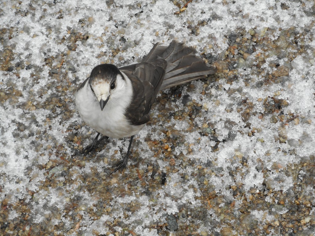
One of our lunch buddies

We stopped for a snack at one of the summits (we hit Tiger Mountain #2 and #3 today) and shared our nut bars with some feathered friends.  Anyone out there know what kind of bird this is?  They are accustomed to being treated royally by humans and, obviously, get right up next to you.

We had some ambitious ideas about what hike to do today, but the fact that at least one trail head was unreachable because of fallen trees, and that two feet of new snow had fallen up that way last night made us think a bit more conservatively.

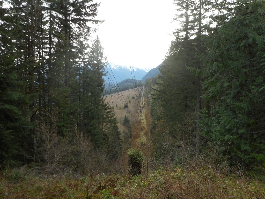
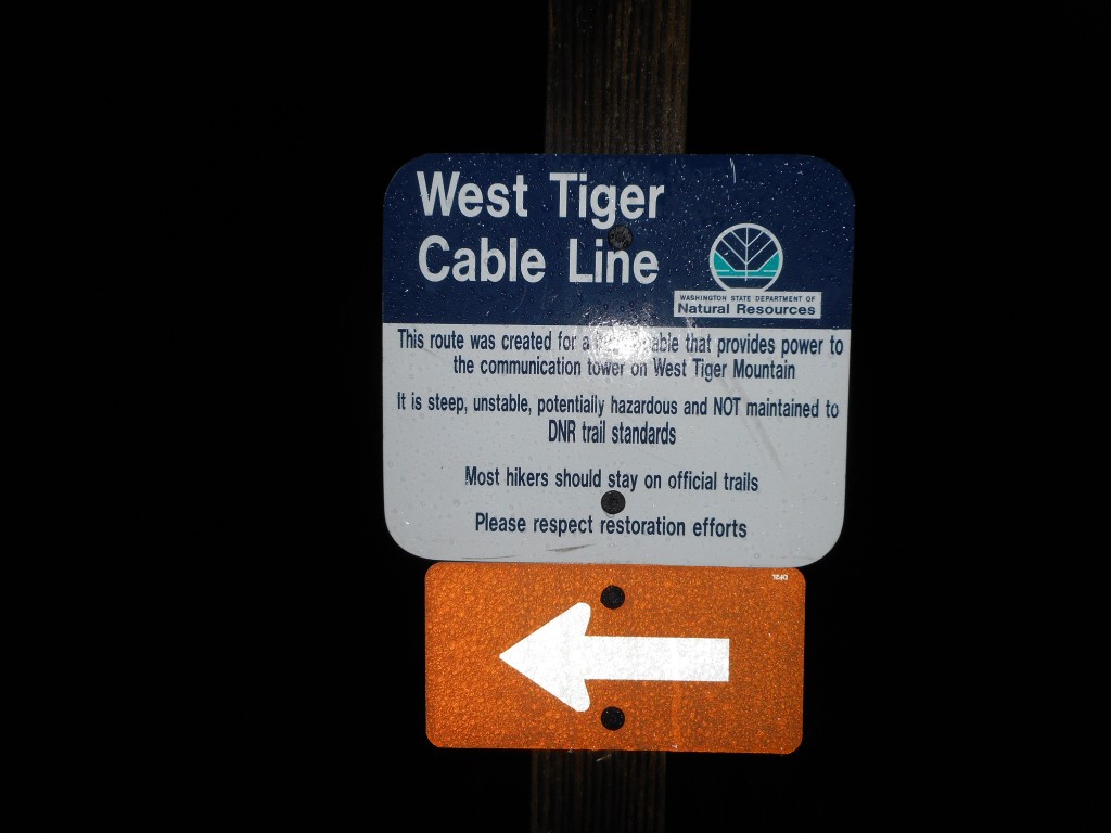
So we went to Tiger Mountain and started up the Cable Line trail again:

We hiked it anyway
We hiked it anyway

Derek and I could testify in court that, yes, it is steep and muddy and rocky and all that, but mostly lots of fun.  Today not so much for me as I was suffering from stomach cramps and nausea, which wore me out rather quickly.

Nevertheless, we didn’t slack today, about 5.9 miles, 3,300 feet of elevation gain, in about 3.5 hours.  Much of it was steep – one short section, according to our Garmin (right about the .3 mile mark) had a grade of 48%.

Much of the trail on Tiger is Cadillac quality:

This part of the trail is nice
Love those mossy trees

Interesting scene at (I think) Tiger 2:

At the summit
At the summit

And, as always around here, there are enormous views:

From West Tiger summit

Here is a visualization of the hike:

http://adventures.garmin.com/en-US/by/djhiker/tiger-mountain-cable-lline-and-more/#.VuB7zJXlupo

Camden and Finley are visiting us Friday night through Saturday afternoon and Jan and I are looking forward to that.  Derek and I discussed the possibility of doing a little exploratory hike with Fin on Sunday to investigate the new mountain bike-oriented trail they are making that will connect Cedar Butte, which is a mile east of Rattlesnake Lake, with McClellan Butte, about 7.5 miles east of Cedar Butte.  I have read a trip report from a veteran of that area and he found the new trail and made a little map.

So, schedules and weather permitting, we will give that a try on Sunday.  If Fin and Derek can’t make it I might check it out myself.

Update 3/14/2016: I think I stumbled across the name of the birds up on the summit – Robber Jays, aka Gray Jays:

https://en.wikipedia.org/wiki/Gray_jay


Mt. Wa/Sallal Point 3/5/2016

Is this the end of the trail?

I drove to the Exit 38 parking lot this morning and left the car about 7:10 am.  My original plan was to hike only as far as the Sallal Point side-trail, but I missed the trail.  Turns out I missed it because they took the signs for the trail down and it is not exactly a prominent location.

By the time I figured I had gone too far I was not far from the junction with the Great Wall Trail so I figured I would go that far and see if it was still closed.

It is.

Back down I went, looking carefully and I finally found it, now unmarked.  I think I know why.

It was never exactly an official trail and right now it is fairly well trashed.  I picked my way to the first side-trail from the Sallal Point side-trail and up I clambered.  At this point it is scrambling, not hiking.

I reached (see above) what appeared to be the end of the trail, but it turns out there is room on the other side of this massive blow down to get by.

I arrived at a rocky scramble and spent a good fifteen or so minutes trying to figure out a doable route to the top.  I finally did figure a way and on the way down I noticed a route that was way safer and easier.

But I am glad I scrambled up because it is a really nice view point – this must be the ‘Sallal Point’ in the now-defunct trail sign.

The View
The View
Looking toward Seattle
Looking north
Looking north

I have to say the Mt. Wa trail is getting worse all the time.  There were many blow downs, most of them easy to navigate.  There was one brute, though, that forced you to crawl on your hands and knees through the mud.  I saw a couple of guys in shorts as I hiked down and I thought they were going to be in for a rude surprise when they got to that blow down.

Much of Mt. Wa trail was rocky like this

Also, it is getting rockier.  Try hiking on steep and rocky terrain for an extended period of time.  It is rough on the knees and the ankles.

4.8 miles, 2:48, 2,500 feet of elevation gain.  Rather a moderate hike but with a real scrambly challenge just off Sallal Point.  I will be back, but on a day when the rocks and roots and trail are dry.  I was slipping like crazy on this side-trail, I totally get why they discourage you from using it.  But there are more side-trails to explore.

A visualization of the hike:

http://adventures.garmin.com/en-US/by/djhiker/sallal-point/#.Vts9wpXlupo