Turnaround Point
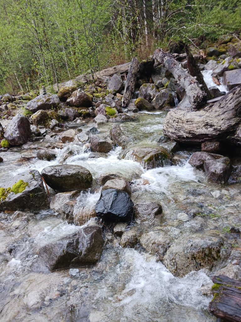
I signed up for a WTA trail work party on June 10 working on the CCC Trail so I drove to the Middle Fork today and hiked from the Middle Fork parking lot to the CCC Trail and east as far as I could go. The photo above shows where I decided to turn around. Too much water running too fast. I can do some rock-hopping but, although I looked up and down the stream I could find no place that seemed safe to me.
So I turned around and, to add some extra distance, I returned via the Middle Fork Campground, to the connector trail, and then down the Pratt River Trail a little ways. I wound up wandering over to the Taylor River view near the parking lot. I just sat there for awhile. I love it out there.
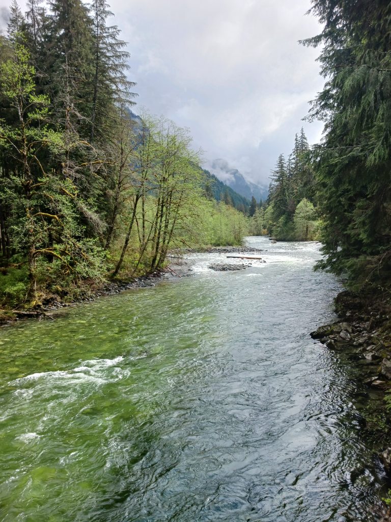
The confluence of the Middle Fork and Taylor Rivers is nice:

River View
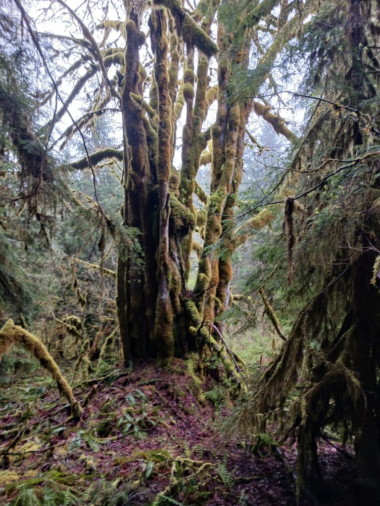
And the CCC Trail itself is in very good shape and the forest is beautiful. You can literally stop anywhere along the trail, look around, and be knocked out by how wonderful it is to be in the forest in the Mount Baker-Snoqualmie National Forest.

Cool Tree
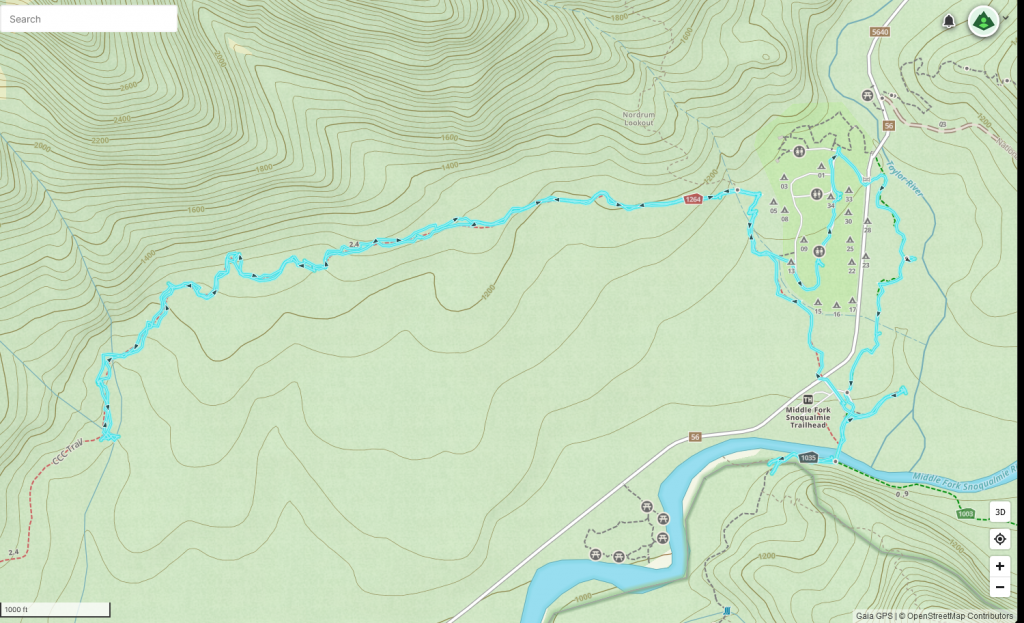
About 4.75 miles, track below.

Track