I did a solo hike up to Change Peak today, via the standard route: Mt. Washington trail to Great Wall connector, to the Great Wall, and up the unofficial Change Peak trail to the summit of Change Peak.
Sadly, I screwed up saving the track somehow – it isn’t on my Garmin – but by good chance I took mileage readings today at key points.
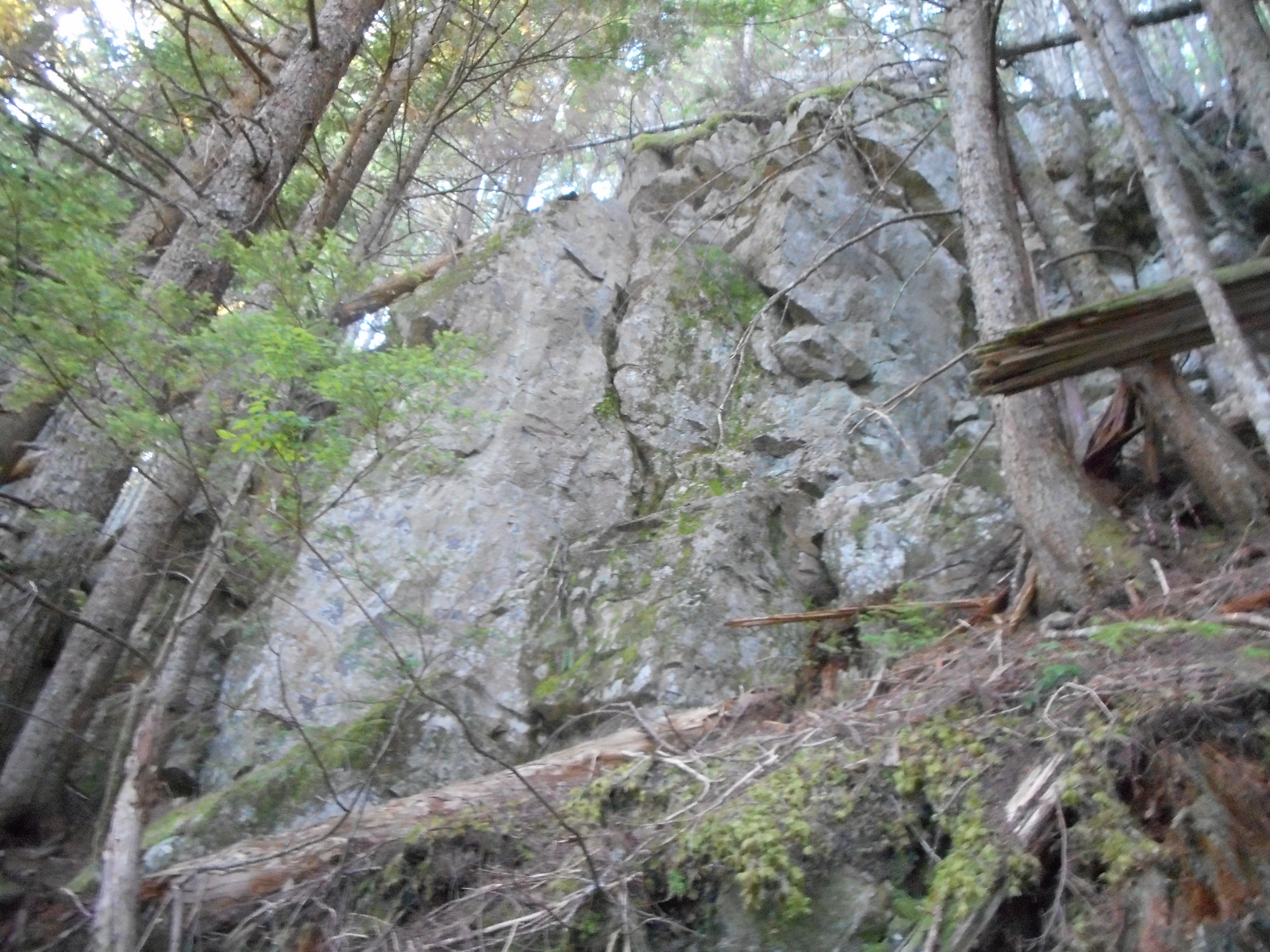
I parked in the Exit 38 Mt. Washington lot. From there to the Mt. Washington trail was .3 miles. 1.65 miles to the former Sallal View trail; 1.9 miles to Owl View; 2.3 miles to Great Wall connector; 3.5 miles to the Great Wall (that is, 1.2 miles on the connector trail); 4.8 miles to the Change Peak Trail; and the Change Peak trail is .3 miles, but highly unofficial and involving a scramble up and over some boulders.
So about 10 miles round trip. Nice hike, I saw no one all the way up and only 3 people on the way down, and that was after I hooked back up with the Mt. WA main trail. Sweet.
Great, sunny and warm day but I left my car to go up the trail at 5:25 am so most of the elevation gain was before it got hot.
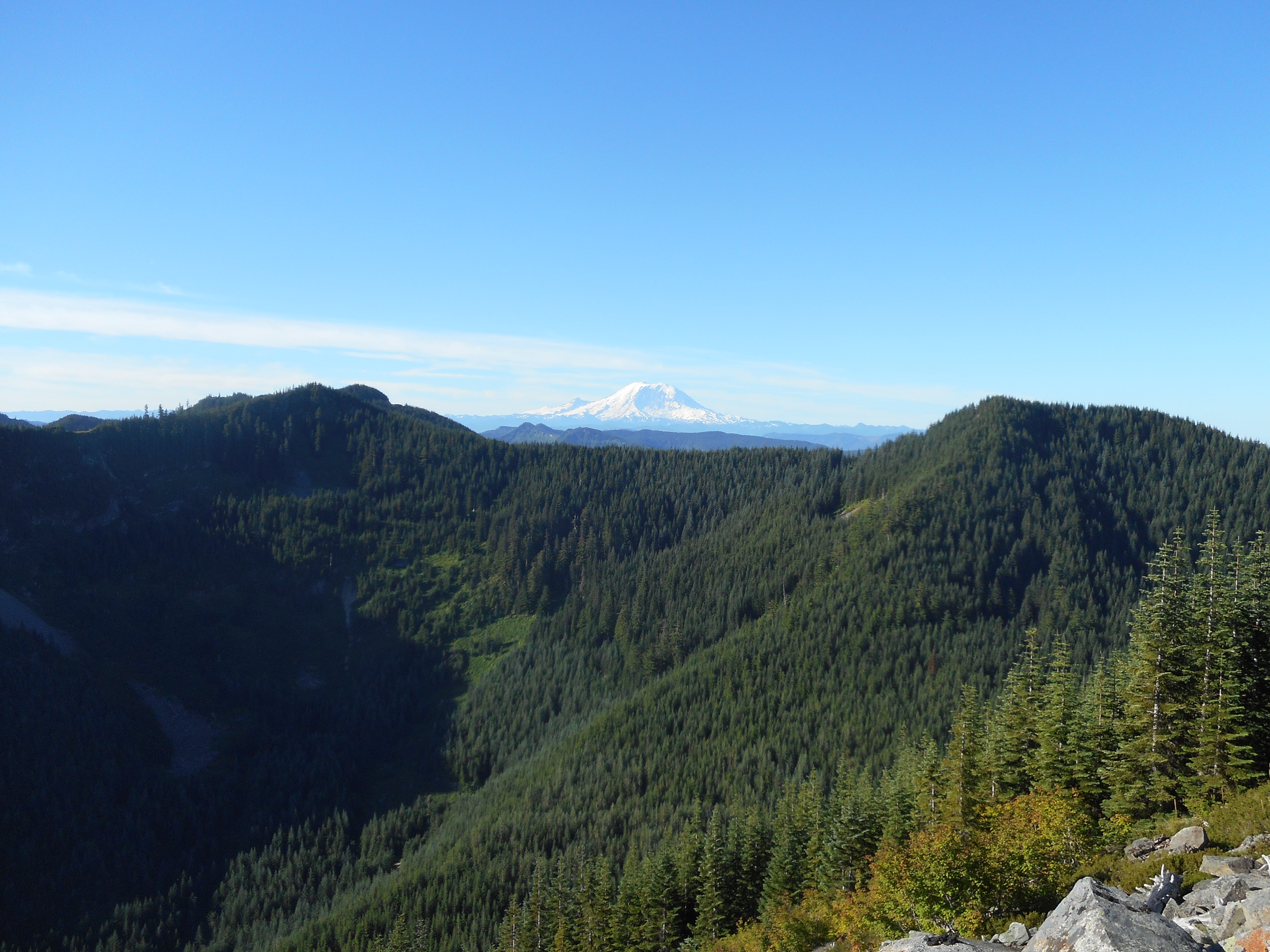
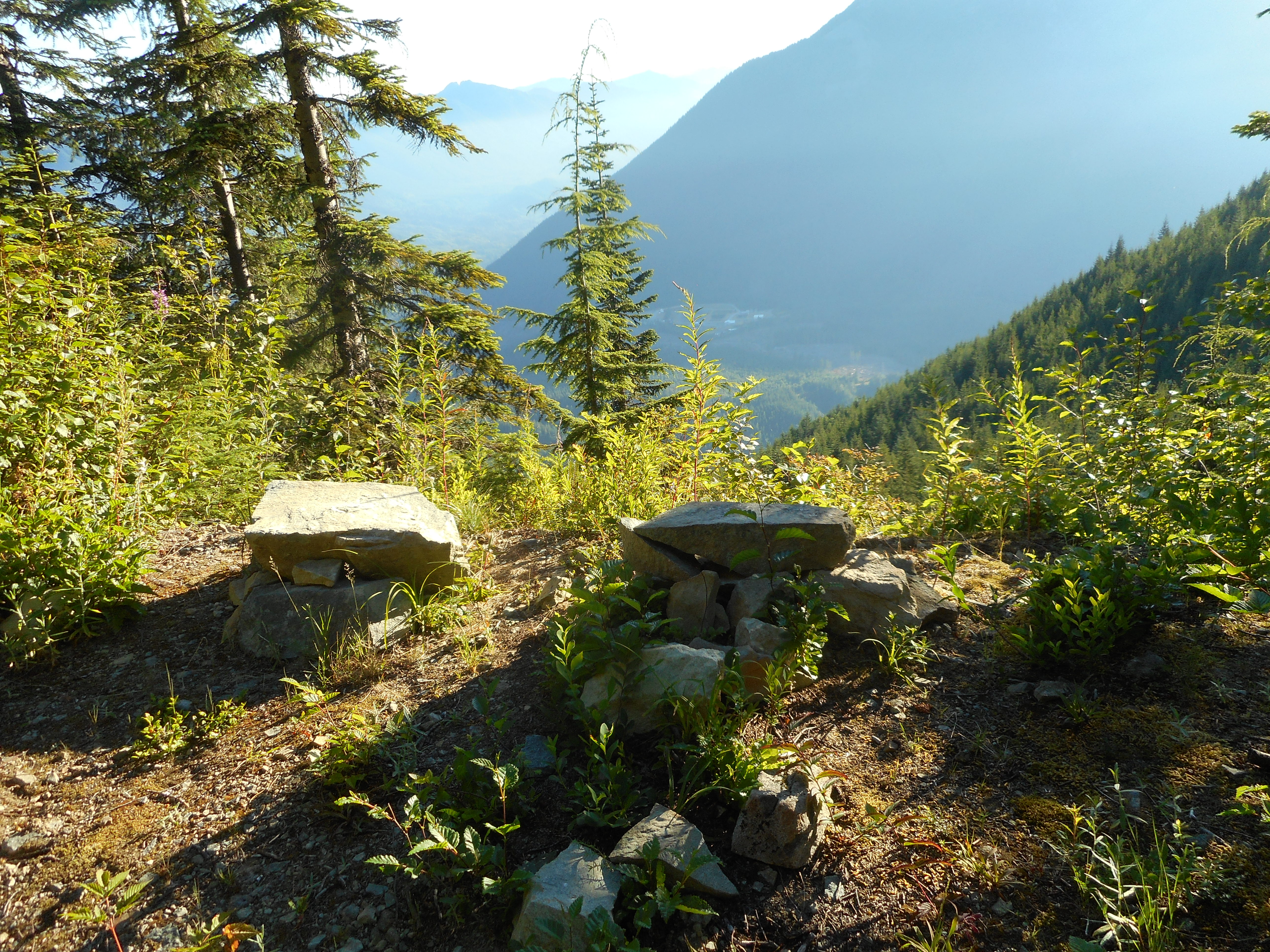
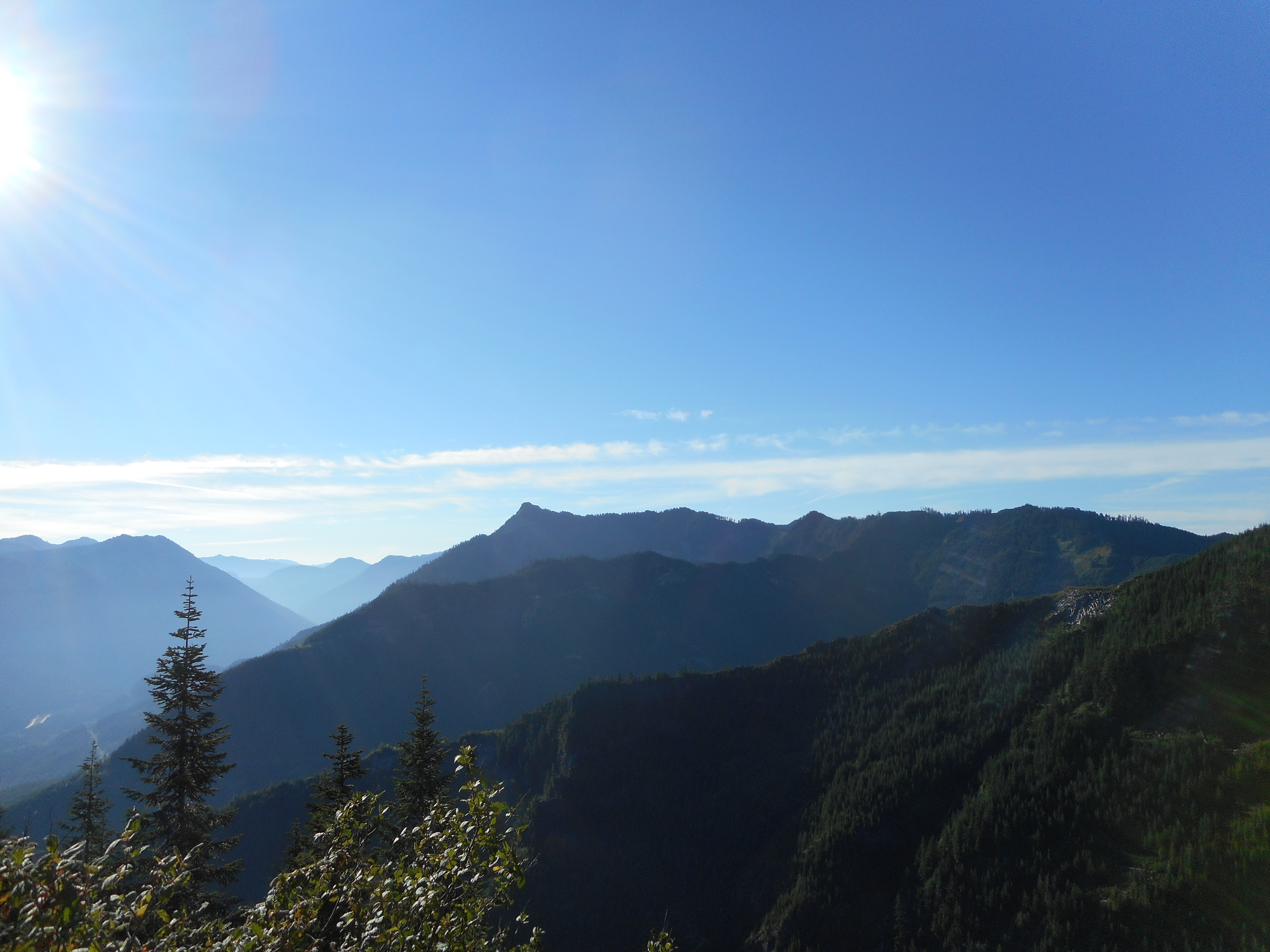
Perfect views, and the Great Wall connector trail is still one of my favorite forest trails.
5.5 hours all told.
We are going to hike somewhere Saturday, not sure where.