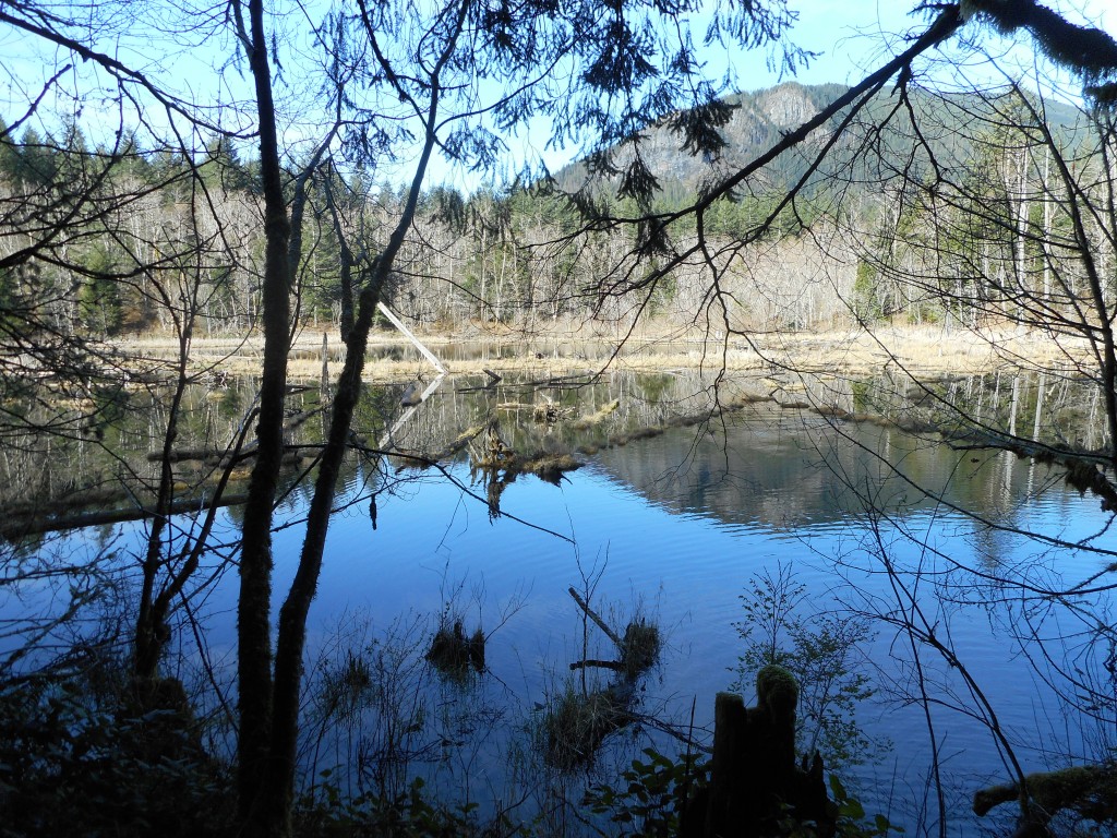
That’s (the now partially closed) Rattlesnake Mountain in the distance.
The plan yesterday was to find the new bike/horse/hike trail they are building that will stretch from just east of Cedar Butte to somewhere east of McClellan Butte. A beaut of a trail when they finish. This is the trail whose construction has hosed portions of the Mt. Washington trail complex, in particular the Great Wall.
Anyway, I had read a trip report by a local hiker, known as a major expert on the area between Rattlesnake and the Pass, who had found this trail. He put a map up and I printed the relevant portion and brought it along.
Unfortunately, I misinterpreted the scale of the map and thought I had hiked far enough east on the Iron Horse Trail, did not find any signs of the new trail (represented by ribbons in the trees for a few hundred yards, then it is down a ravine and there is the new trail) so I turned around and tried to find it from another direction.
The direction was via Cedar Butte trail to Saddle Junction and east on the South side Trail. So back I hiked west, up Cedar Butte, down the South side Trail, looking for the new trail in that direction.
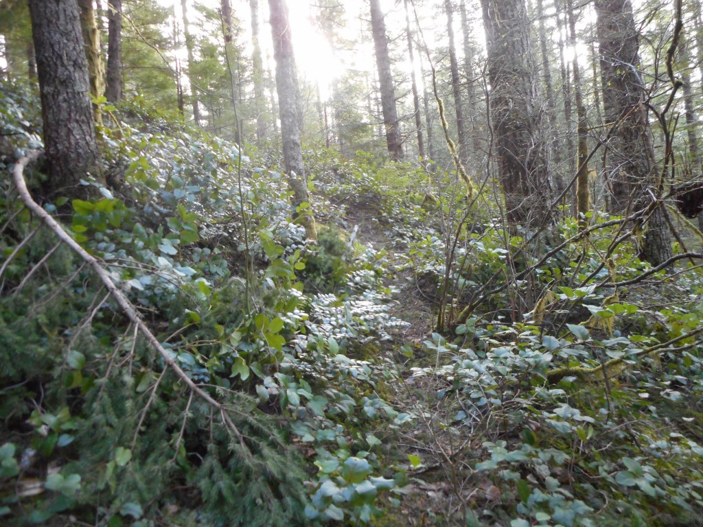
Here is what the nice part of the South side Trail looks like:

At least you can see something that looks like a trail. But just over the hill the trail disappeared beneath a huge area of trees blown down. I bushwhacked for a couple of hundred yards but I could not find a trail so I turned around.
I took a slightly different route back. There is an unnamed trail just west of Boxley Creek. The trail splits off going north at first and quickly heads west. I had been down it before and that time I saw a huge deer on the trail.
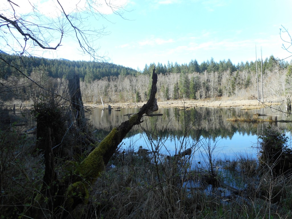
This time all I did was enjoy this little side-trail. It goes right by Rainbow Lake. You can see this lake from the Iron Horse Trail and it is nice to see it up close.
Here is a view from the western end of the lake looking southeast:

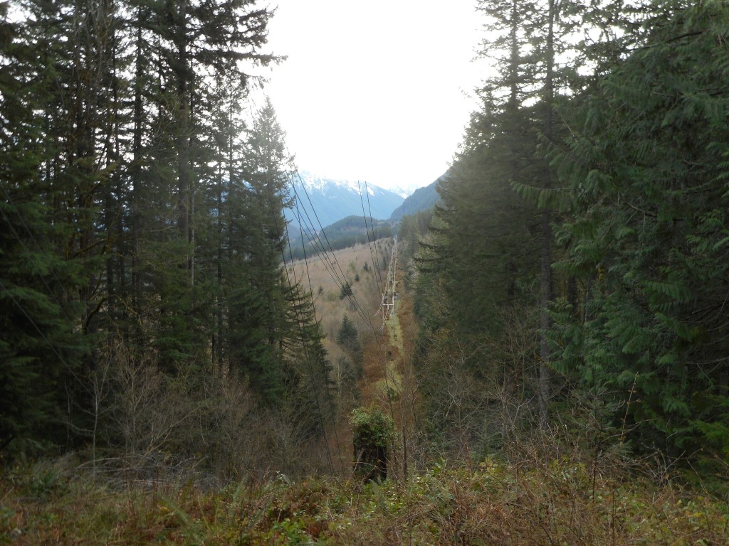
Here is a view I like, not because it is awesome, but I like the blend of old trees and mountains and new, ugly stuff that splits the middle of the picture like an axe through a skull.

Here is a visualization of the hike:
http://adventures.garmin.com/en-US/by/djhiker/looking-for-the-new-olallie-trail/#.VvgtZJXluM8
The ‘2’ on the map is as far east as I got on IHT. When I got home I compared the topo map I was following to the track of this hike on a CalTopo tool and sure enough, I see I did not go far enough east.
I stopped at Weeks Creek and I believe I need to go on at least another .4 mile.
I will try again at my first opportunity. This would be yet another route to Mt. Washington summit, adding to our collection (currently at six).