I stopped recording the Tolt Pipeline Hikes (really not very photogenic and much of it is jammed with other pedestrians and oodles of fast-moving bikers) and I also stopped resisting the urge to get back into the mountains. So this afternoon I headed out to the Middle Fork, having heard they repaired the road.
I wound up parking at the Middle Fork parking lot and going up to the upper Garfield Ledge via the Middle Fork Connector Trail. I wanted to see what shape it is in, since the entire area has been rocked with numerous blow downs. The Connector had a few but it wasn’t bad.
The Garfield Ledges trail also had a few but they were easily navigable.
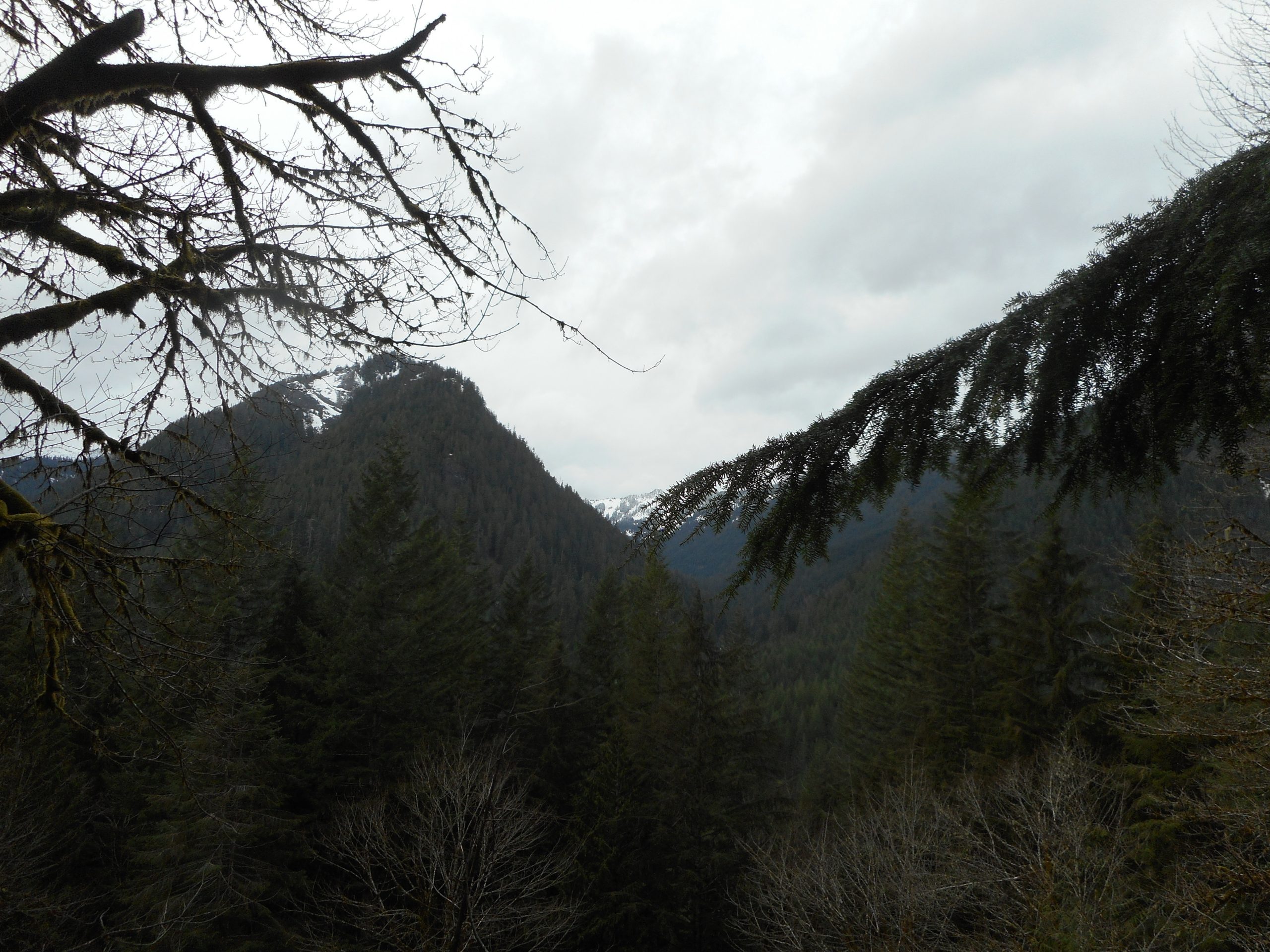
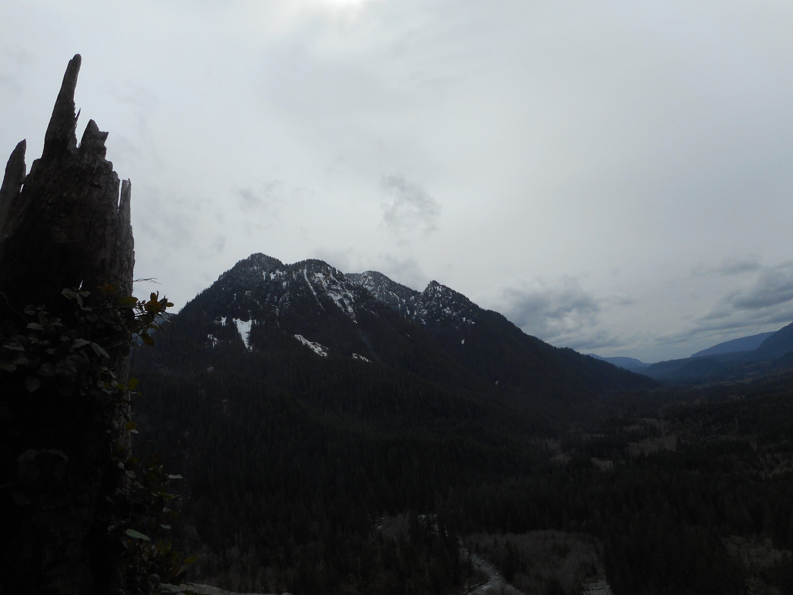
As always the view from the upper ledge is beautiful. That’s Rooster Mountain, above, and here is Quartz Mountain:
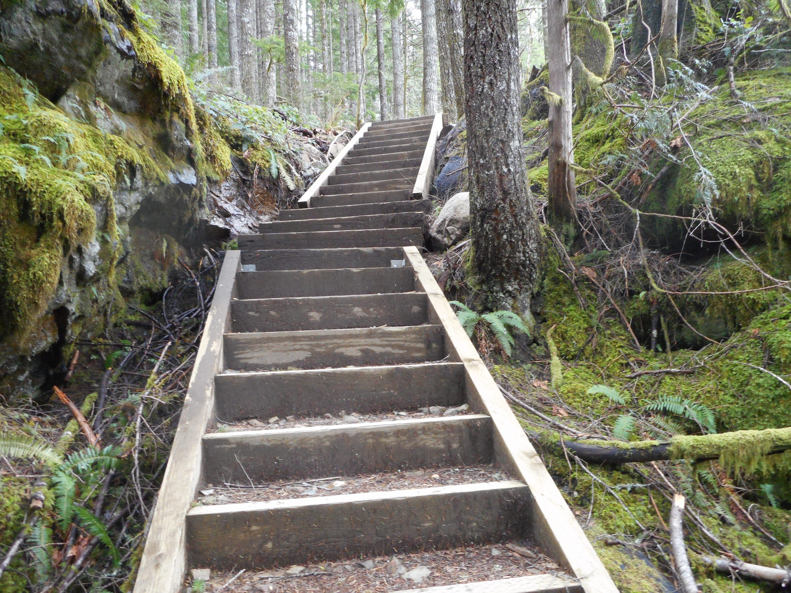
One of the features of this trail is the section with 77 steps. This picture is from right in the middle:
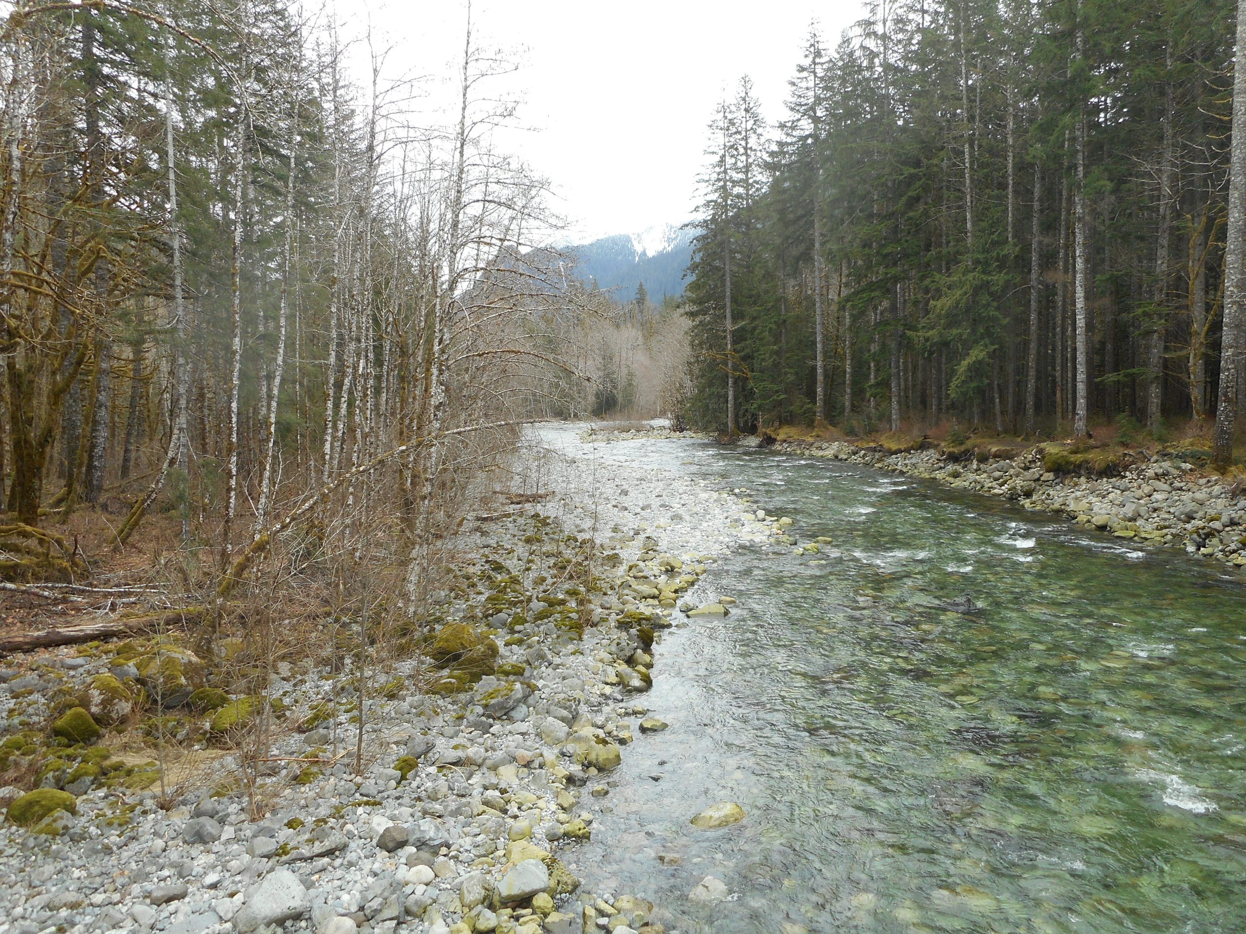
On the way back I took a snap of the Taylor River with Preacher Mountain in the background:
All in all a wonderful break from being upset about the horrendous state of the world.