I intended to check out the McClellan Butte trail today, including whether or not the parking lot is accessible now (it is) but I wound up taking the trail only to the service road (NF9020); I went down (west) on the road to check it out. I plan to use that to drive up to the trail when next I want to do McClellan Butte. Happily, the route is clear, no blowdowns or terrible pot holes.
I did, however, run across a spot where people have been dumping huge piles of garbage, including old tires. And used diapers. Gross. This is on top of the endless shotgun shells and blown-apart targets.
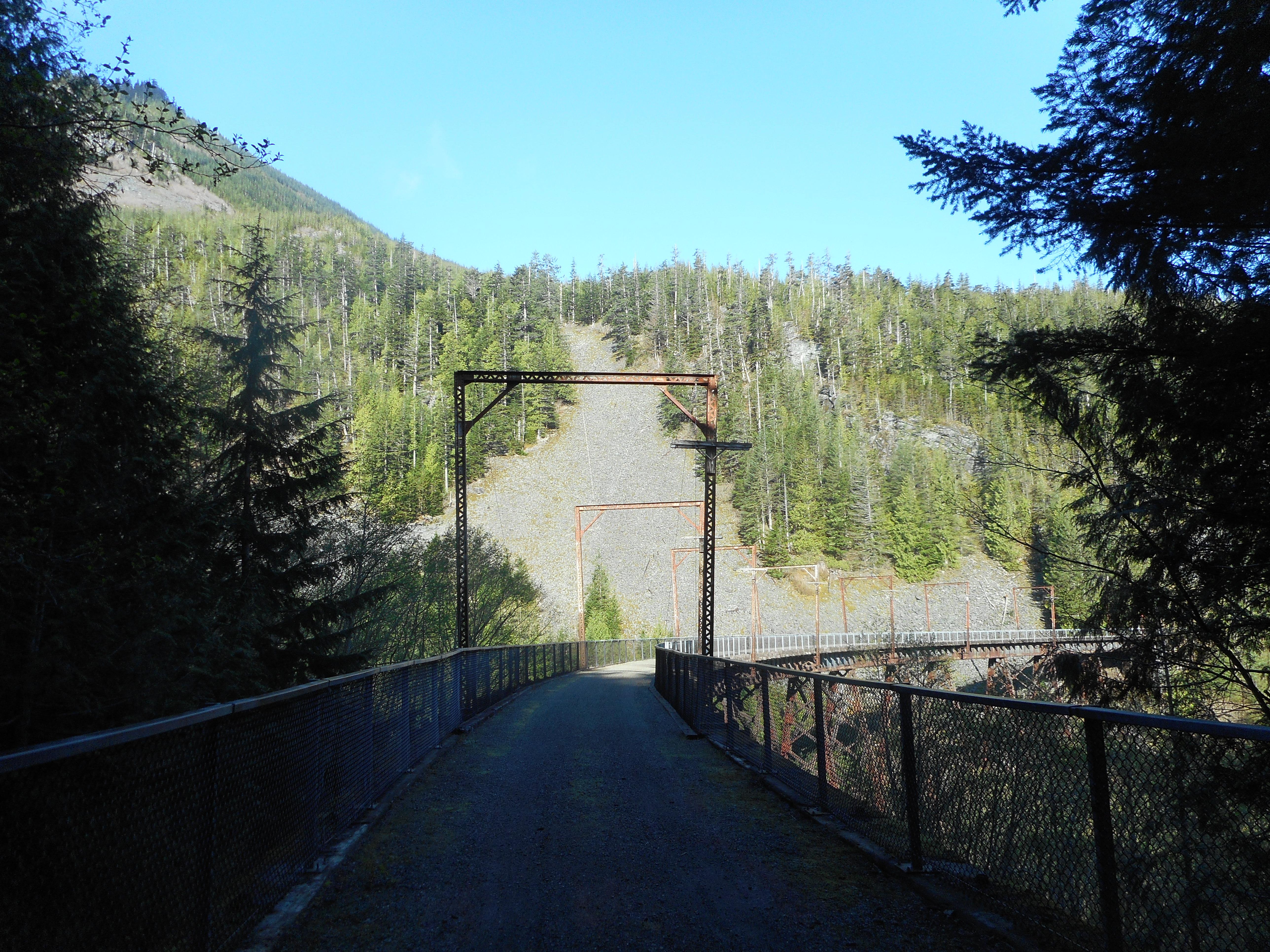
I took the service road down to the Garcia/IHT intersection and then went west to the Mine Creek Bridge, one of my favorite bridges in the area.
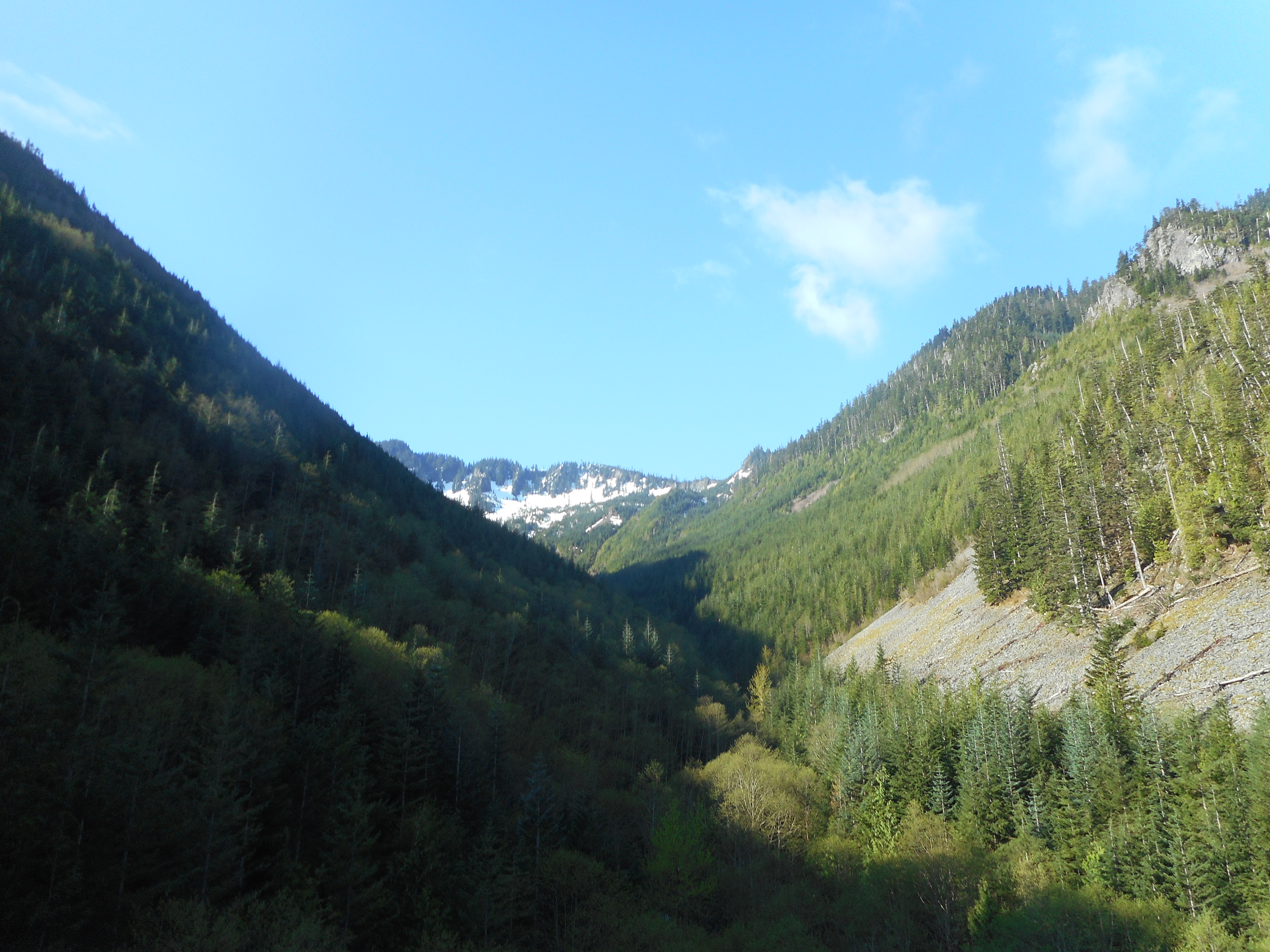
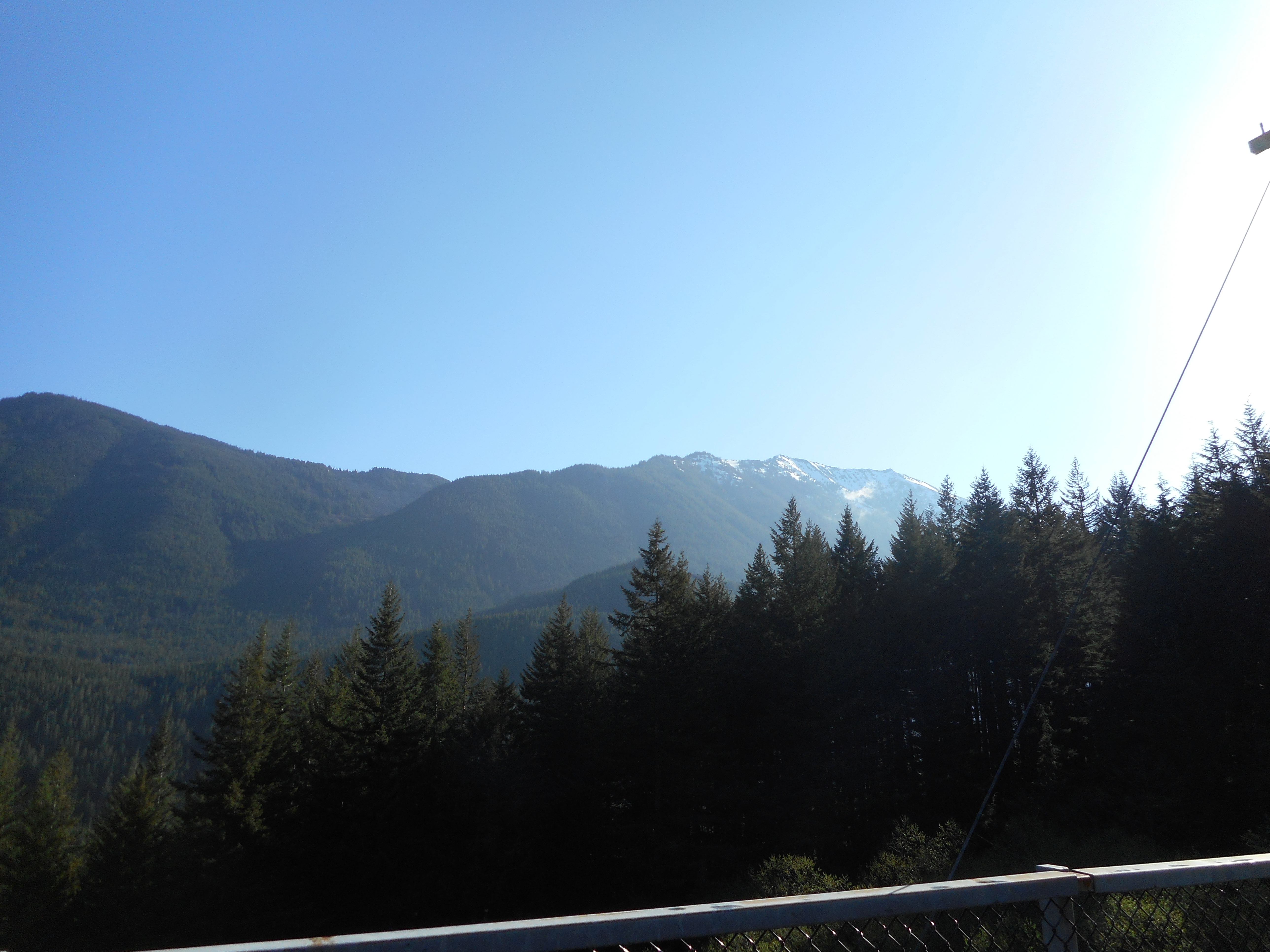
Clearly, there is still a lot of snow up there, may be a few weeks before I am back exploring the area just north of the Watershed boundary. And the mountains to the north are snowy as well:
Not very steep today, a bit less than 1K elevation gain, but 7.7 miles on a beautiful day. I don’t need to huff and puff every time, being in the woods and on the mountains is a charge.
Here is the track:
https://adventures.garmin.com/en-US/by/djhiker/mcclellan-butte-trail-mine-creek-05-02-2018#.WuosK38h2po