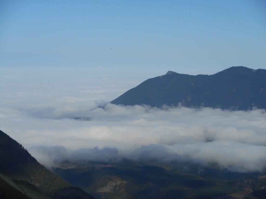
Derek and I had planned to go up McClellan Butte and then investigate what we thought was a trail heading west from what we call Salmon Lake (a small tarn, in fact). But Derek’s work schedule was changed and he couldn’t make it and I wound up doing a solo hike today.
The past week has been one for me to (almost) run into animals. This time, as I turned north for the final stretch to the summit I came up to the top of the rise and startled a group (collective noun?) of mountain goats.
They took off down the trail and a few went west (down) and a few went east (up) and there they were. I was not moving, waiting to see what they were going to do. I did not want to walk the gauntlet between them, in case they were feeling territorial. I also wanted a photo.
So I took out my camera and that was enough movement to send them all down the trail at high speed. I slowly went that way (the alternative was to turn around and I was too close to my goals to do that, short of a trail blocked by a cougar or a bear) but never saw them again. I did take a couple of pictures of their tracks but the photos are both very poor – I need to learn how to switch between the landscape mode and close-up mode – so that’s that. It slowed me down but did not terrify me.
As for Salmon Lake, shortly after the goats I found the trail down and headed there. It appears to me (Derek and I can check it out more thoroughly some time) that the trail we thought went west just circles back to the main Salmon Lake trail. I was unable to find a route west and furthermore, it looks like a very steep and difficult bushwhack.
Probably doable, but not with a time limit.
Nice sunny day up there with plenty of views:
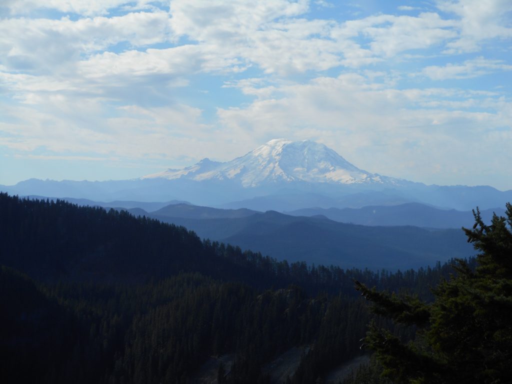
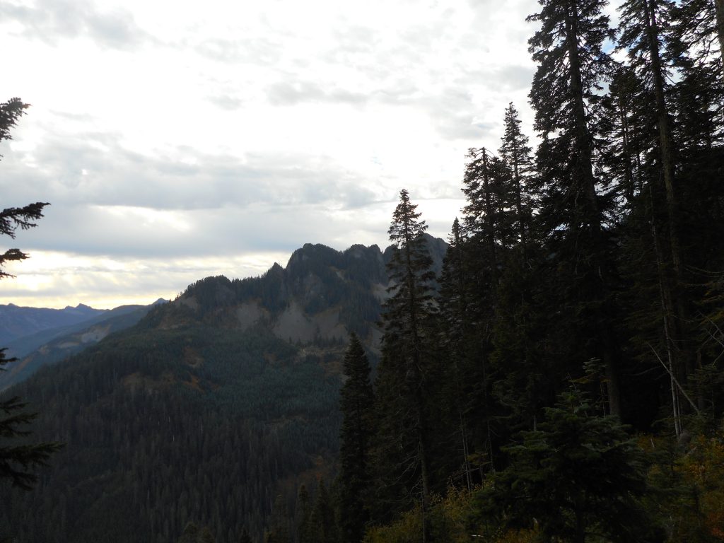
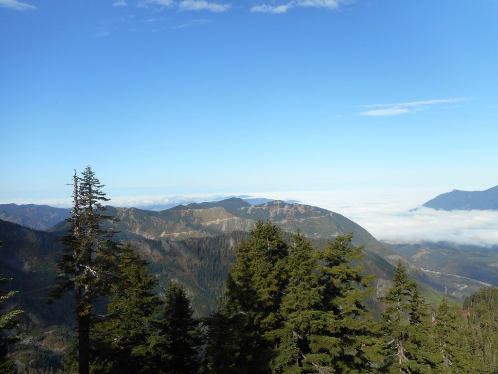
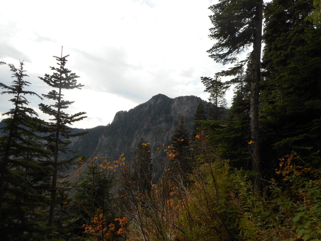
And, for Derek, there’s Mount Kent. We are definitely going to hit that one when we can get it into our schedule.
As always, I did not attempt the way-too-exposed climb up to the ultimate summit of McClellan Butte. Getting to its base is enough of a goal for me.
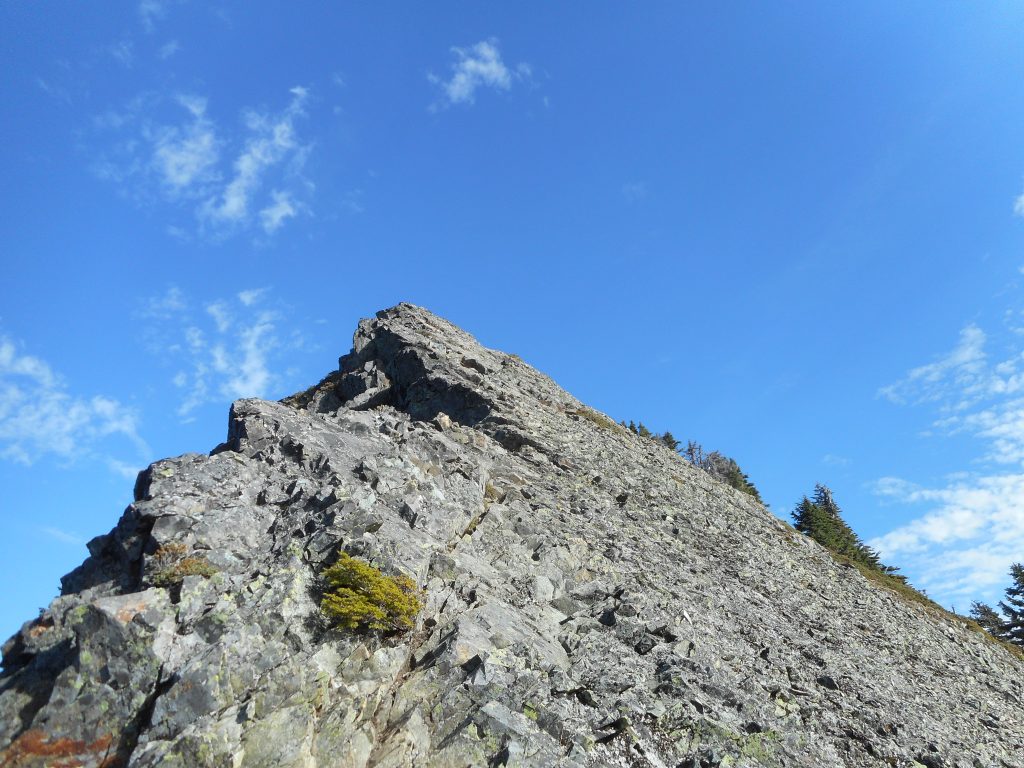
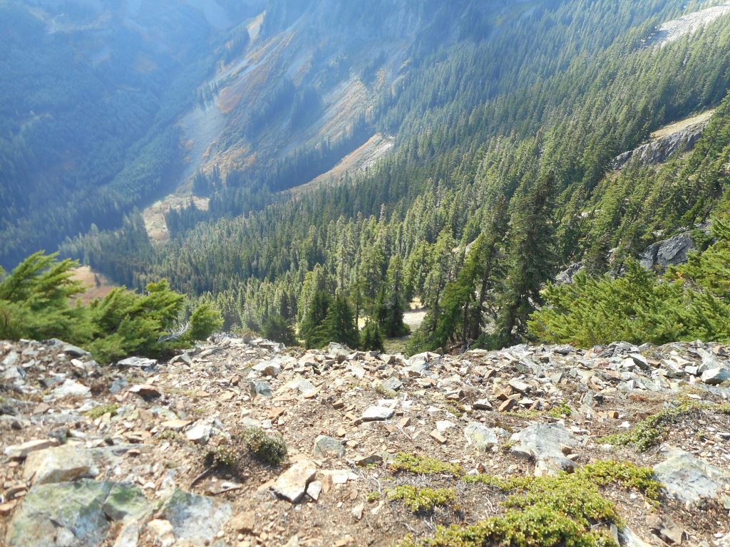
If you turn around after taking this photo and walk a few yards, you come to the of edge of a sheer cliff. But the photo does not show the reality, which is you are effectively standing on a ledge of a huge skyscraper:
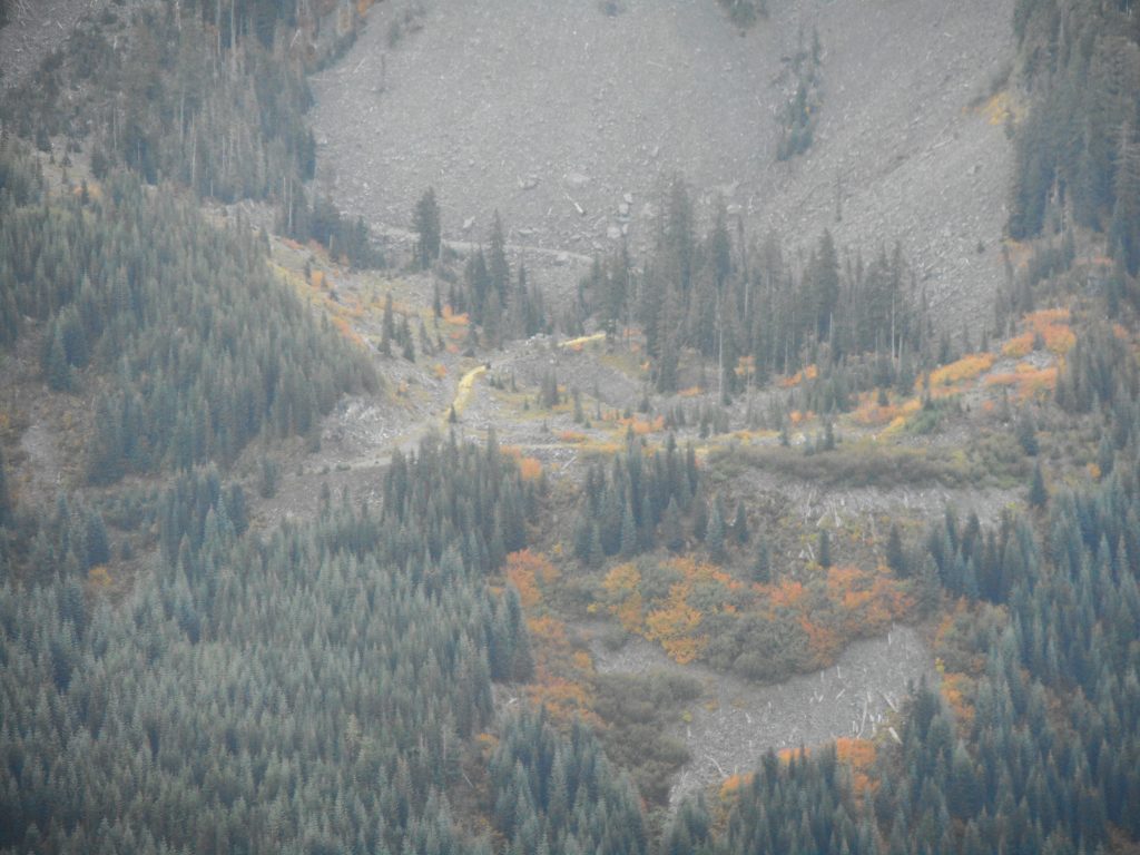
A feature in the area I have noticed but not snapped before is the road on the mountains just east of the Butte – this definitely looks like it can be accessed and hiked. Another goal to accomplish!
I also kind of chuckled when I came to the second (of six!) avalanche chutes on this mountain. This is the one that caused us so much trouble when there was a deep cover of snow. We had to drop down into a little canyon and climb up the other side. Although the first time I crossed this in the deep snow, on the way down, I was with Mark Garrett and I chose the wrong route and almost wound up sliding off the mountain.
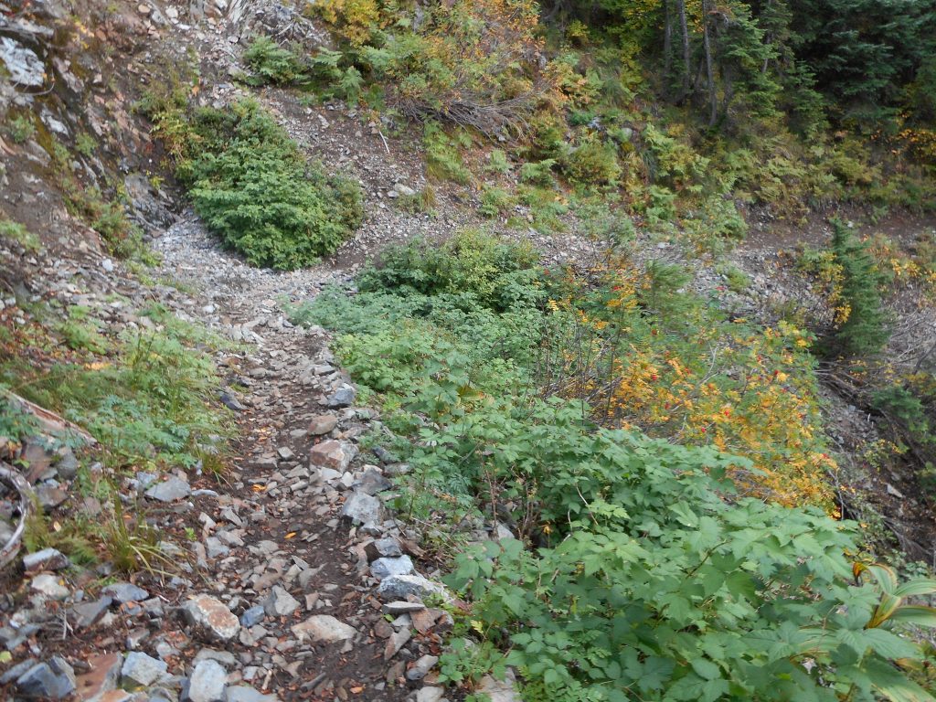
But with no snow it is a nothing-burger:
10.7 miles, 3,871 feet of elevation gain, six and a half hours. Derek and I were going to start on NF9021 to save time, and we were going to start hiking about 5:30. Well, based on my experience today, skipping the lower two sections (from parking lot to IHT, and IHT to the service road) would have saved us about 80 minutes, which is totally worthwhile. Without the mountain goat delay, the hike I did today could be done in about five hours starting from the service road.
Piece of cake.
Here is a visualization of the hike:
http://adventures.garmin.com/en-US/by/djhiker/mcclellan-butte-and-salmon-lake-9-28-2016/#.V-xDj5WV8bw