I drove to the Exit 38 parking lot this morning and left the car about 7:10 am. My original plan was to hike only as far as the Sallal Point side-trail, but I missed the trail. Turns out I missed it because they took the signs for the trail down and it is not exactly a prominent location.
By the time I figured I had gone too far I was not far from the junction with the Great Wall Trail so I figured I would go that far and see if it was still closed.
It is.
Back down I went, looking carefully and I finally found it, now unmarked. I think I know why.
It was never exactly an official trail and right now it is fairly well trashed. I picked my way to the first side-trail from the Sallal Point side-trail and up I clambered. At this point it is scrambling, not hiking.
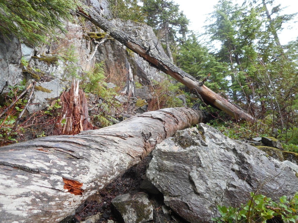
I reached (see above) what appeared to be the end of the trail, but it turns out there is room on the other side of this massive blow down to get by.
I arrived at a rocky scramble and spent a good fifteen or so minutes trying to figure out a doable route to the top. I finally did figure a way and on the way down I noticed a route that was way safer and easier.
But I am glad I scrambled up because it is a really nice view point – this must be the ‘Sallal Point’ in the now-defunct trail sign.
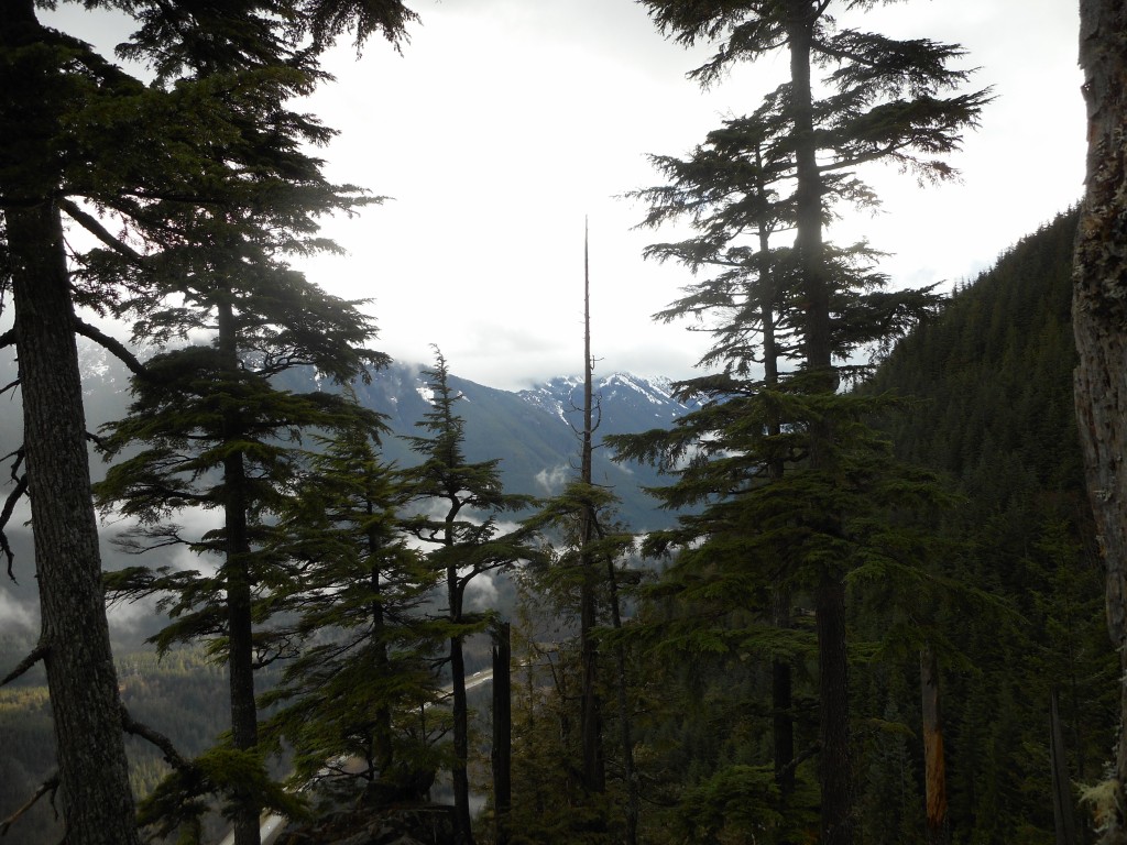
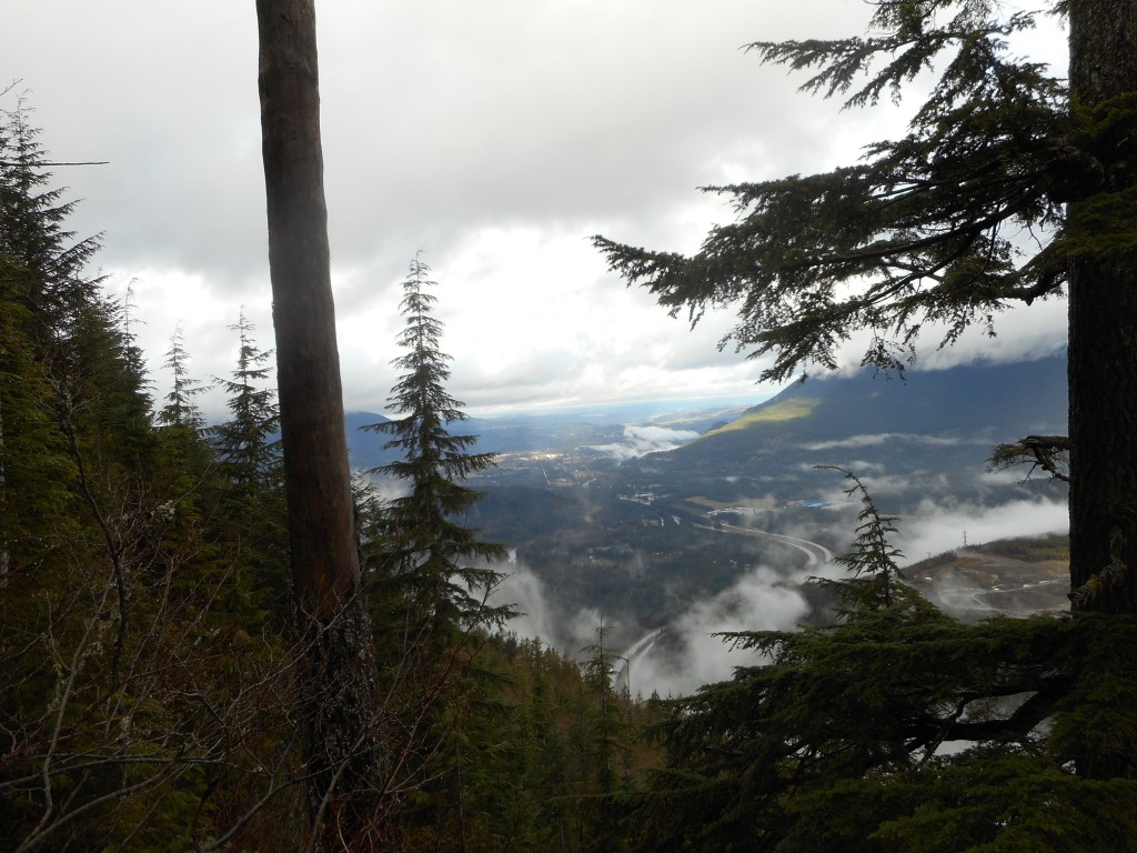
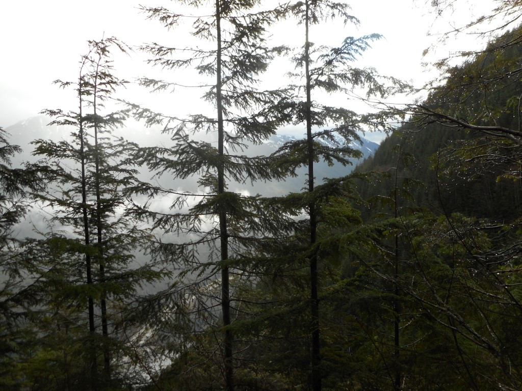
I have to say the Mt. Wa trail is getting worse all the time. There were many blow downs, most of them easy to navigate. There was one brute, though, that forced you to crawl on your hands and knees through the mud. I saw a couple of guys in shorts as I hiked down and I thought they were going to be in for a rude surprise when they got to that blow down.
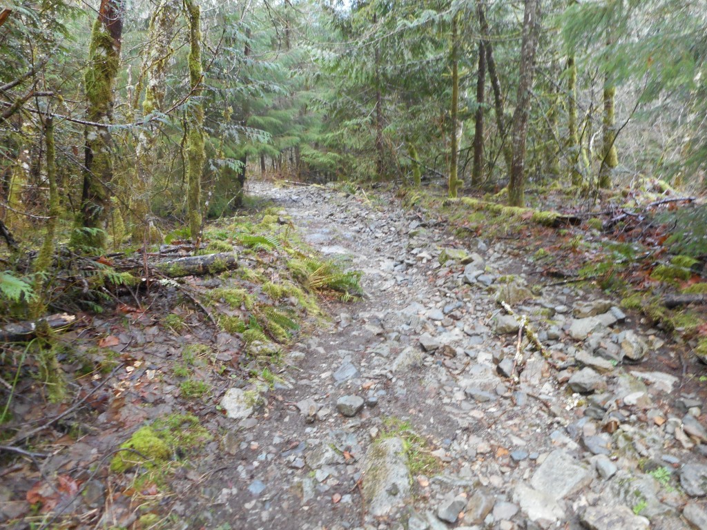
Also, it is getting rockier. Try hiking on steep and rocky terrain for an extended period of time. It is rough on the knees and the ankles.
4.8 miles, 2:48, 2,500 feet of elevation gain. Rather a moderate hike but with a real scrambly challenge just off Sallal Point. I will be back, but on a day when the rocks and roots and trail are dry. I was slipping like crazy on this side-trail, I totally get why they discourage you from using it. But there are more side-trails to explore.
A visualization of the hike:
http://adventures.garmin.com/en-US/by/djhiker/sallal-point/#.Vts9wpXlupo