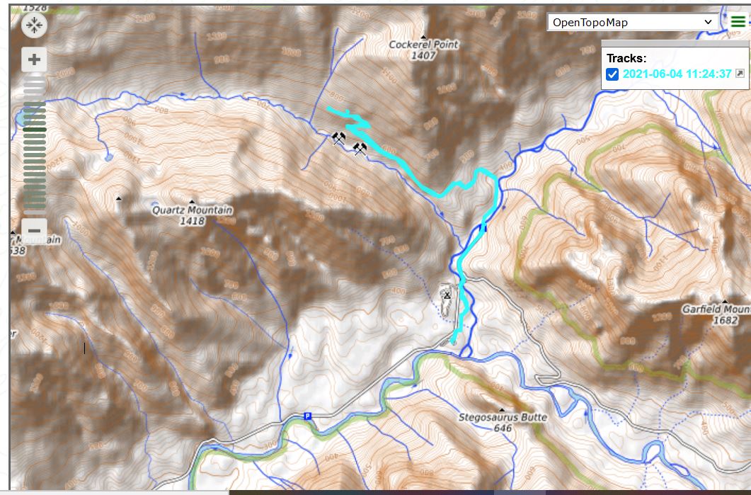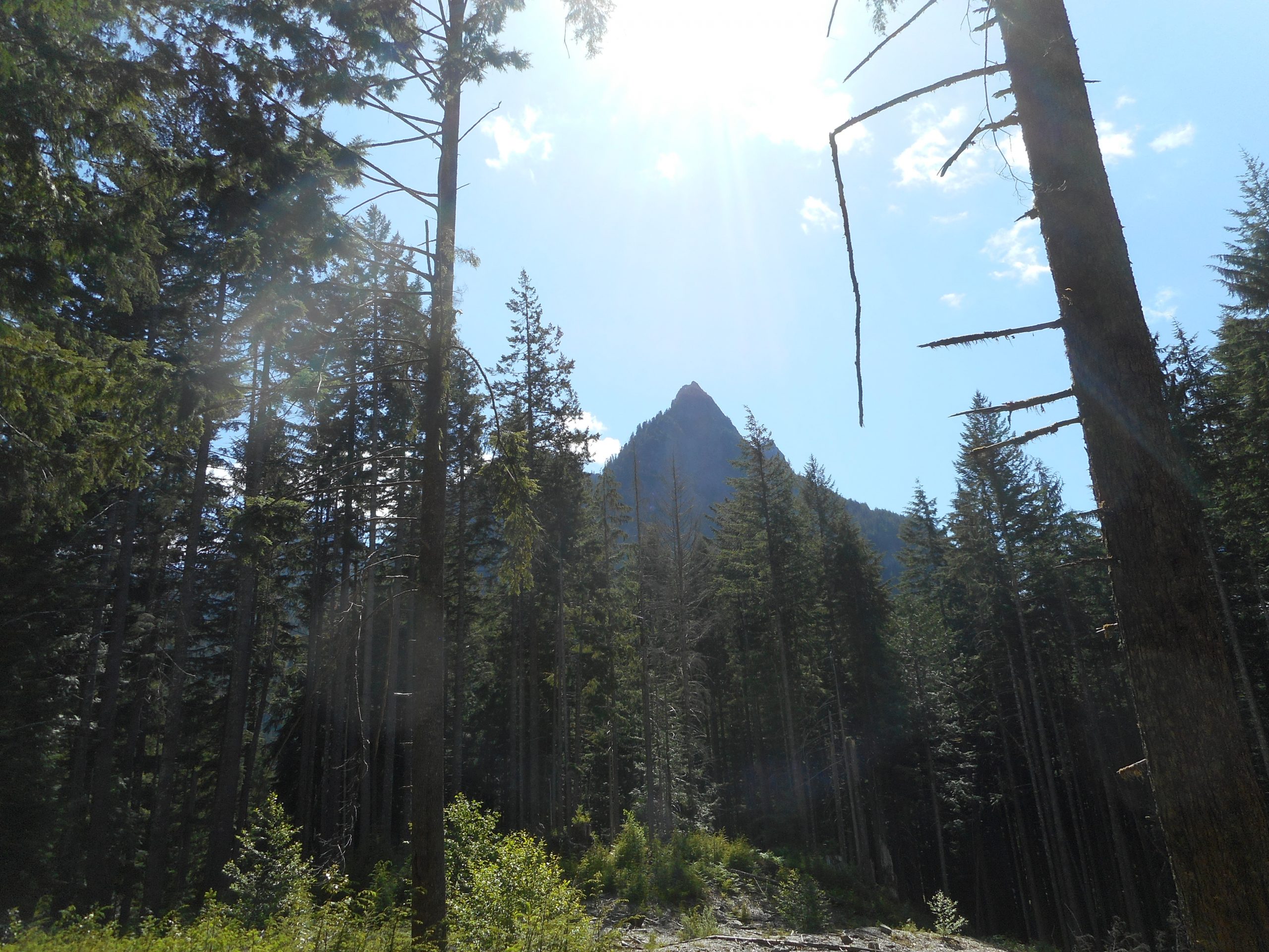
My goal today was to do something new. I wound up parking at the Middle Fork Trailhead, taking the connector trail past Garfield Ledges and up the Snoqualmie Lake Trail. I just wanted to see where it led.
At about .5 mile up the trail there was a fork and a sign. Left was the Quartz Creek Trail, which I vaguely recalled seeing on a topo map so I figured, what the heck, and I hung a left.
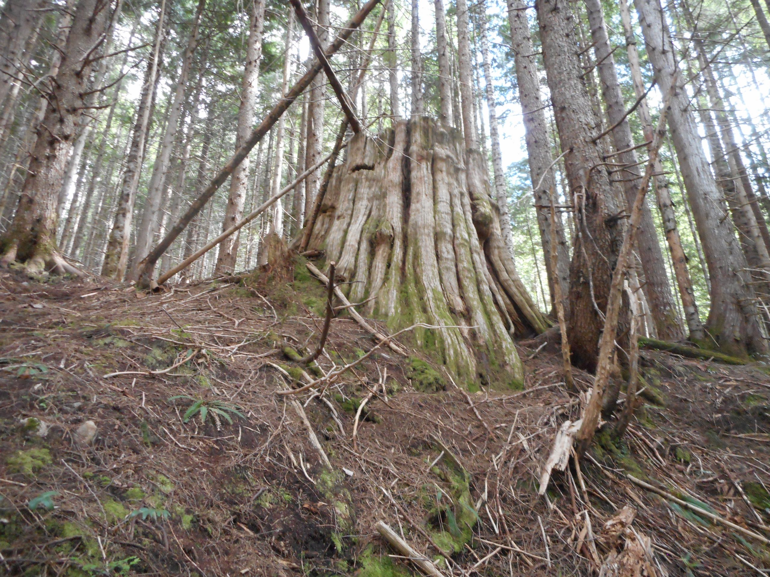
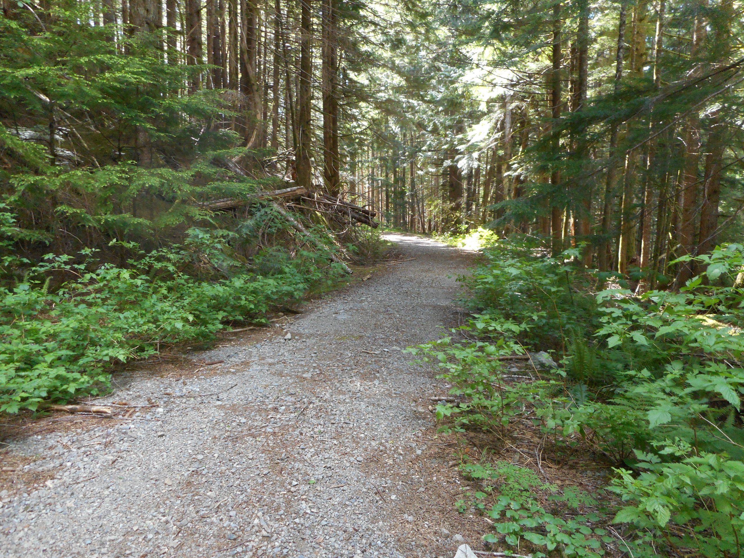
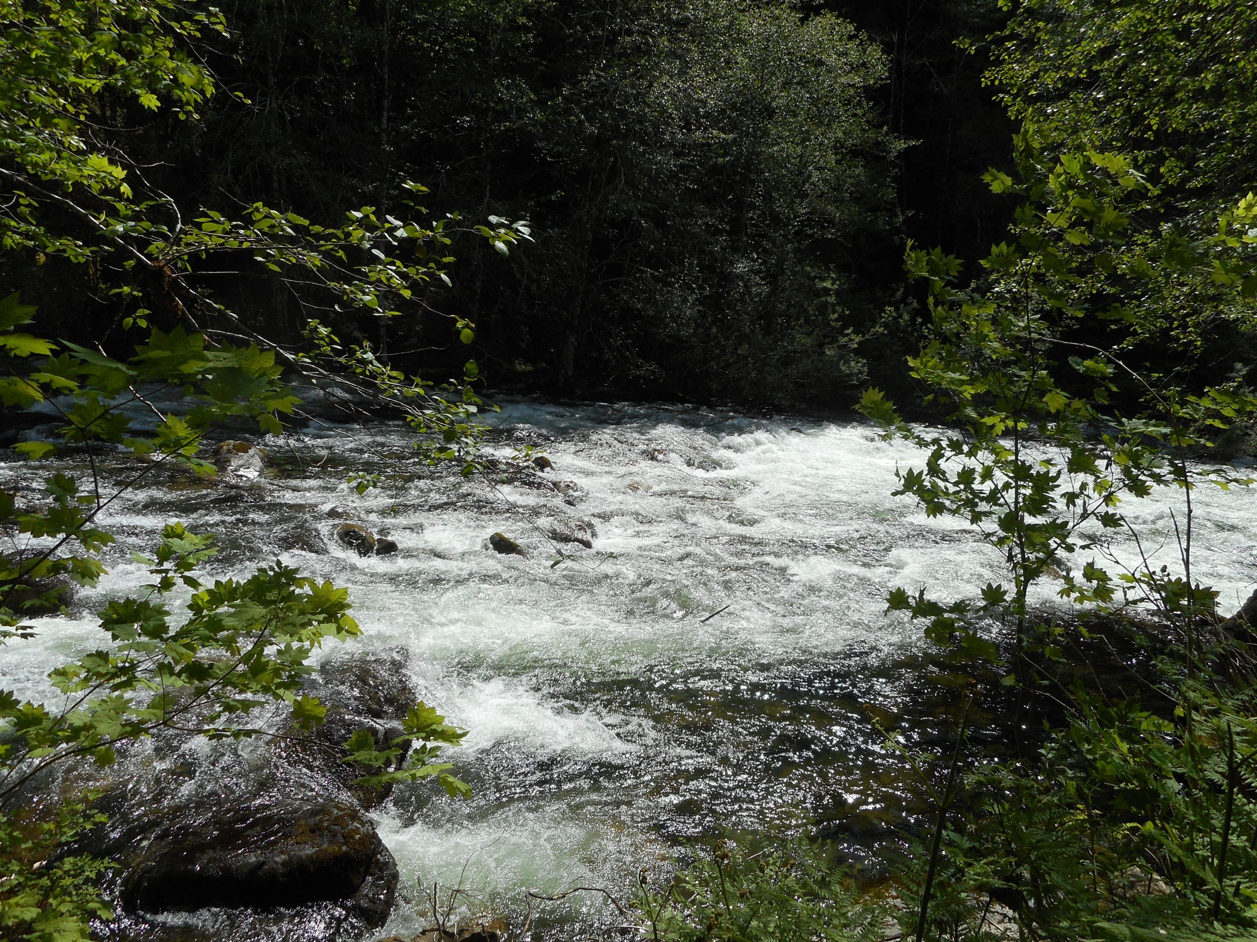
This is a former logging road (see below for evidence of logging I found) and it does go on. And up, but not terribly steeply. The trail is more like a road for maybe a mile, and then it turns into more of a trail. It reminds me of the Granite Creek Trail, not an amazing coincidence since that trail is only a few miles down the road. And it shares with that trail numerous un-bridged small stream crossings.
I turned around at a fork where, I now see, one path leads to a lake (and, per a few trip reports, very nasty stream crossings) and the other way to Cockerel Point, which looks like a tough one. You can also get to Rooster Mountain, another difficult outing.
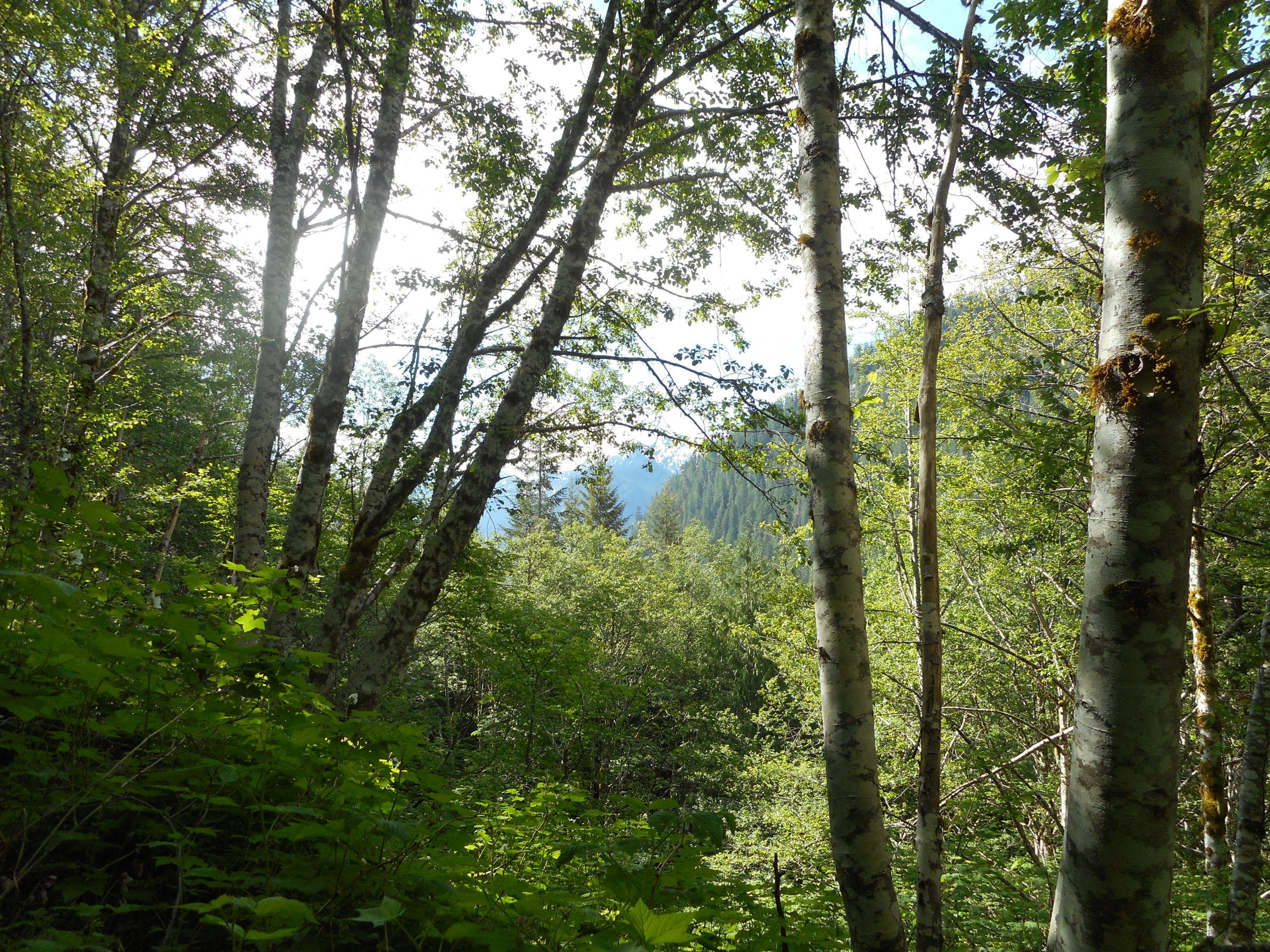
7.3 miles, 2,200 feet of elevation gain, the place is gorgeous. Photos and track below.