This hike is just about at the far edge of my physical abilities right now. When I retire and get to hike several times a week I will be in better shape. But this is a tough hike.
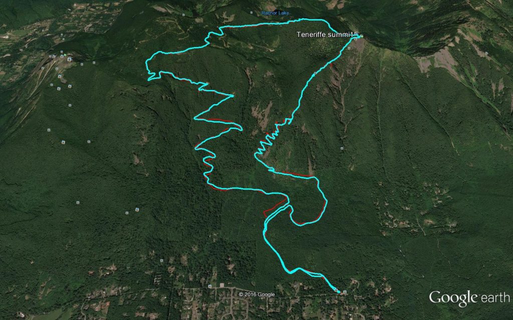
We started up the trail at 5:35 am in headlamps. With only the headlamps to illuminate the trail we made our way up the moderate, wide, well-kept main Teneriffe trail to the junction with the Teneriffe Falls trail.
That trail is fine for awhile, but the closer you get to the falls the steeper it gets. You have to clamber up and over rocks and roots – very tough.
At about 2,800 feet what we call the Kamikaze Trail begins in earnest. From that point to the summit, at 4,780 feet, it is a bit less than a mile. My calves were killing me it is so steep.
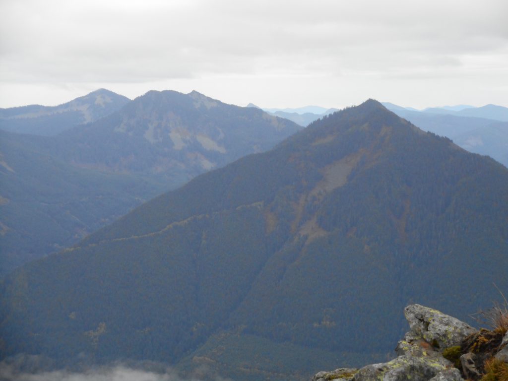
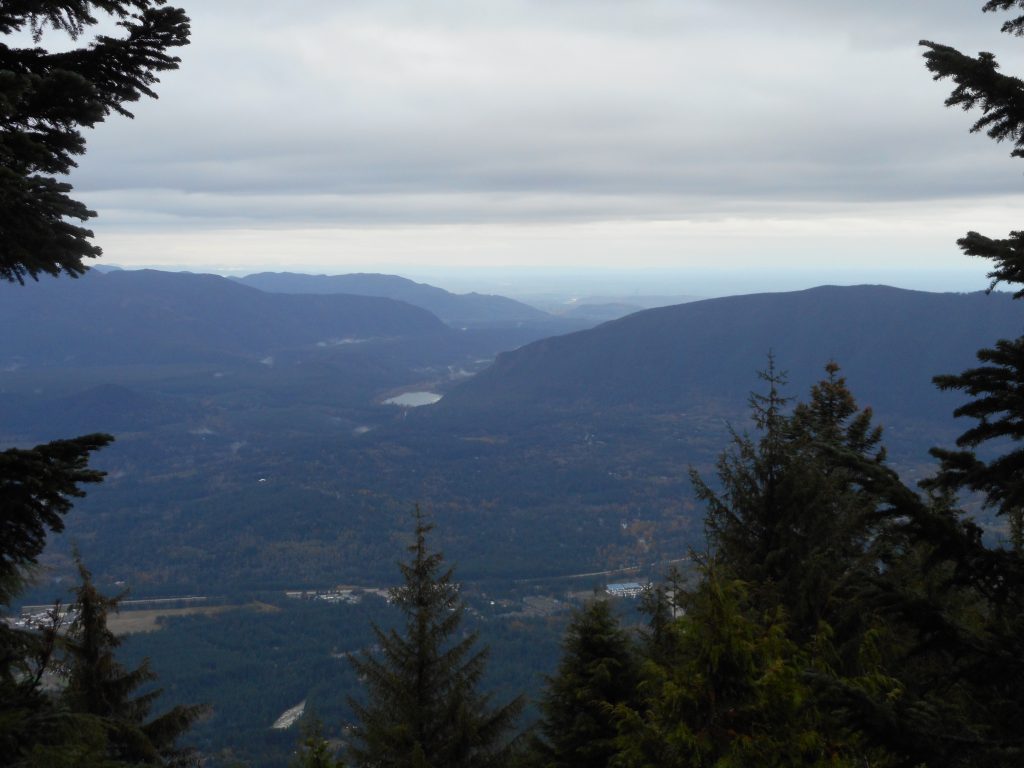
But we made it to the summit and the views were surprisingly good. The surprise comes from the fact that once again the forecast was for rain but it didn’t rain a bit. And we could see our surroundings at the summit, and again when we were descending, which we did via the main trail.
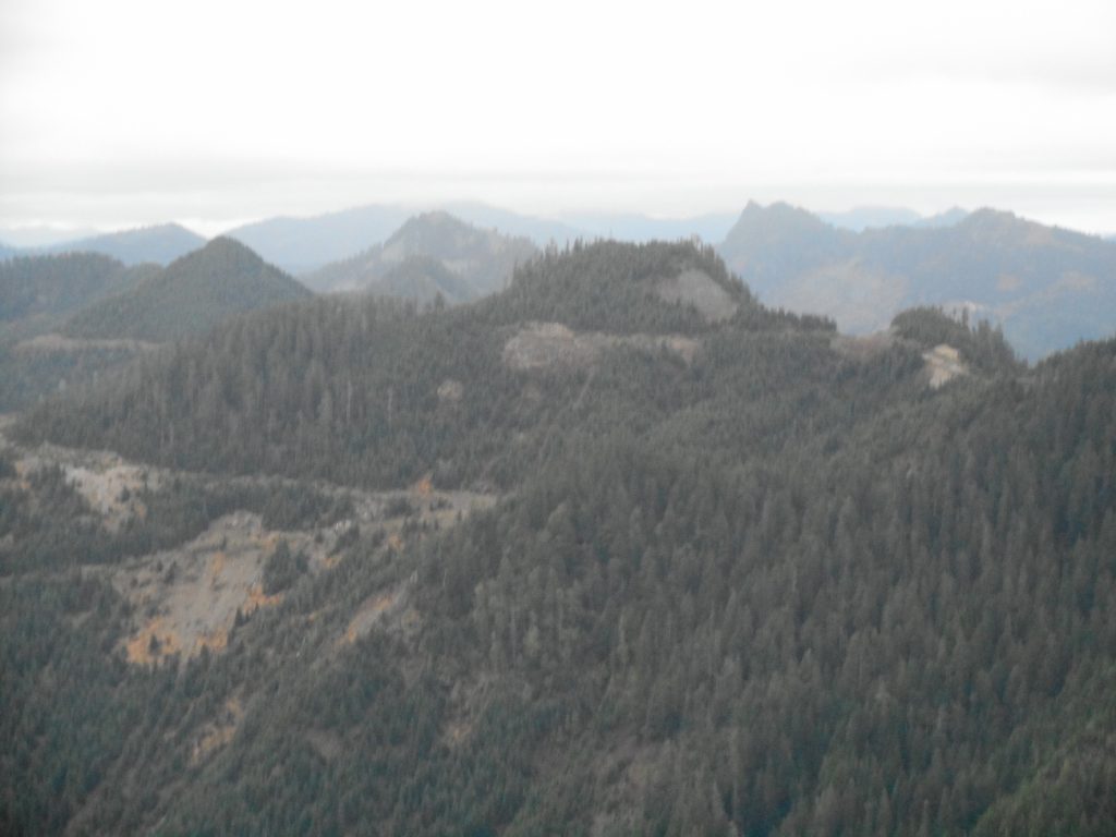
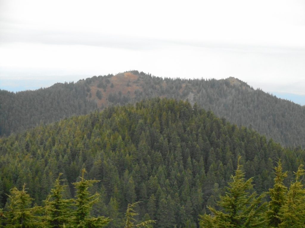
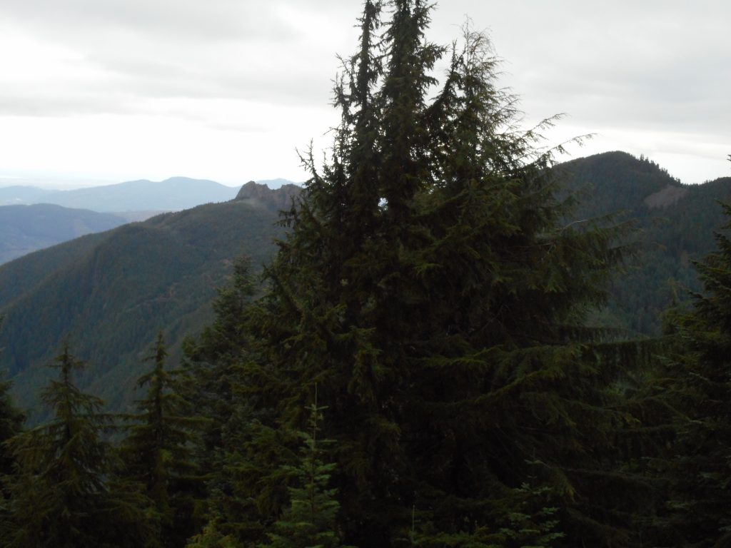
Derek and I love to get scenic views of the hikes we do. South, across the freeway, was Rattlesnake Lake and Rattlesnake Mountain.
10.7 miles, 4,193 feet of elevation gain (in about 3.7 miles), almost six and a half hours. A nice hike with plenty of workout.
Visualization:
http://adventures.garmin.com/en-US/by/djhiker/mt-teneriffe-up-kamikaze-down-main-trail-10-27-2016/#.WBJylU2V-po
And here is a Google Earth image – the blue is our track today, the red our track on this same trail in 2015.
