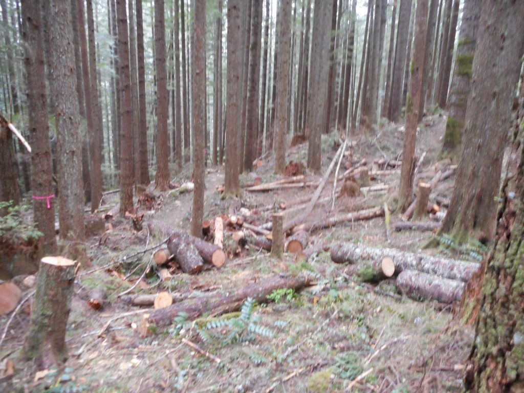
I finally made it to the end (as far as they have worked) of the as-yet-unopened Olallie Trail. If you look at the visualization linked at the end of this post you can see it ends about 1/3 of the way up the west slope of Mount Washington.
This is where you leave the IHT to get to the trail:
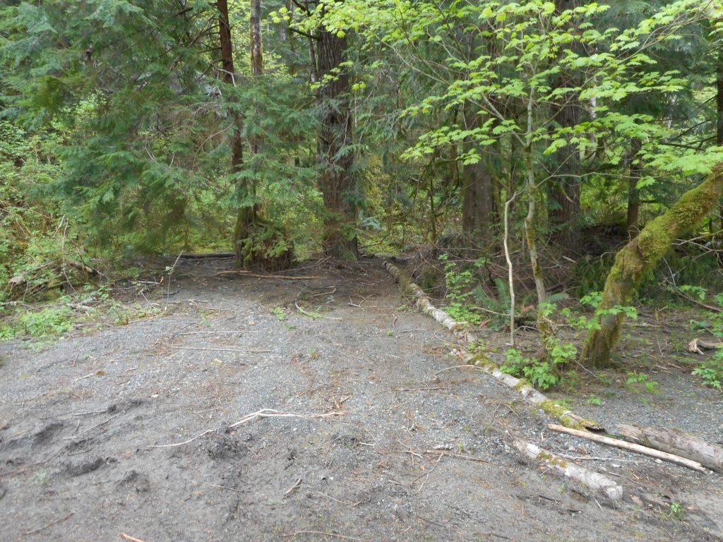
You can’t see it in this photo but just to the right of the two trees in the middle is a little boot path that leads past a lean-to created by the workers up to the Olallie Trail.
It is a wonderful trail – maybe not ready for business yet, but so far, so good:
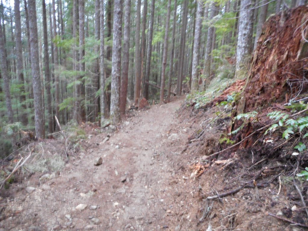
From the IHT to the eastern end of Olallie is about 3.3 miles. Another 2 or so to the parking lot, plus a little side-trip and today’s hike was a pleasant 11.2 miles.
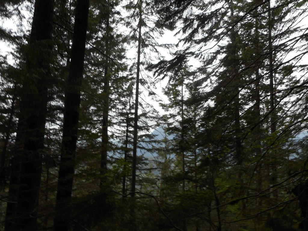
Above is probably the best view from this trail right now. Once it gets closer to Mt. Washington the western and southern views will open up.
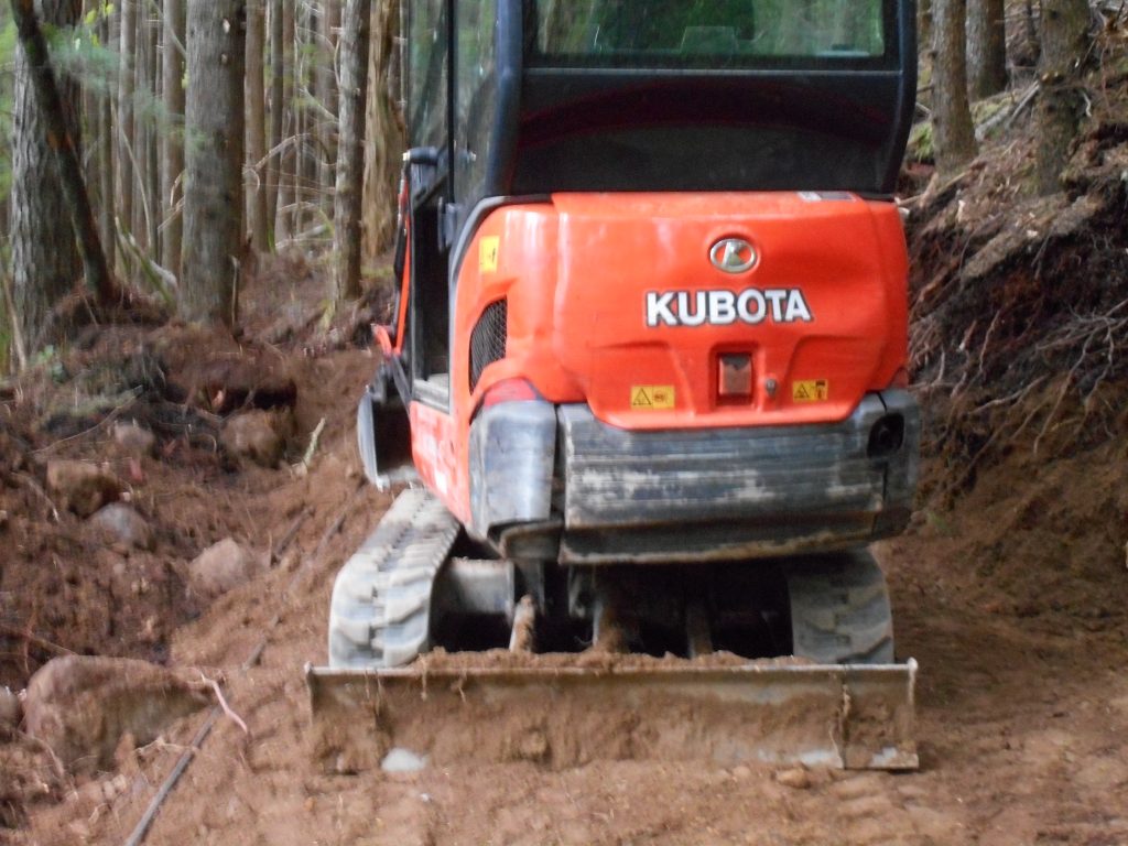
There is a lot of equipment along the trail, including this, which was winched around a tree, as if waiting for Monday morning to pull it down:
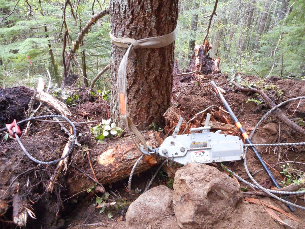
Just out of this frame was another excavator like below, I presume the device is connected to the excavator and then pulled. Tough job those folks have.
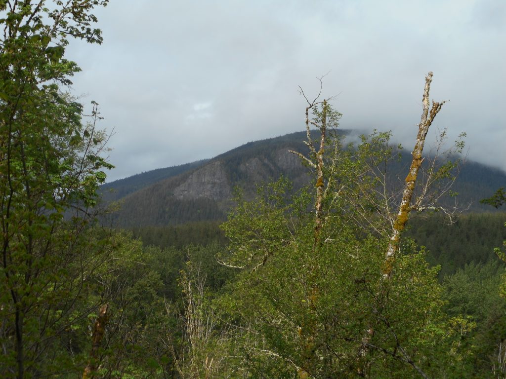
On the way back, going west on IHT, it was a little cloudy and Rattlesnake Mountain looked kind of cool. Perfect day to hike, 50ish and not real sunny.
I will be going back from time-to-time to measure the progress.
Visualization:
http://adventures.garmin.com/en-US/by/djhiker/olallie-trail-4-23-2016/#.VxvQmpXlsbw