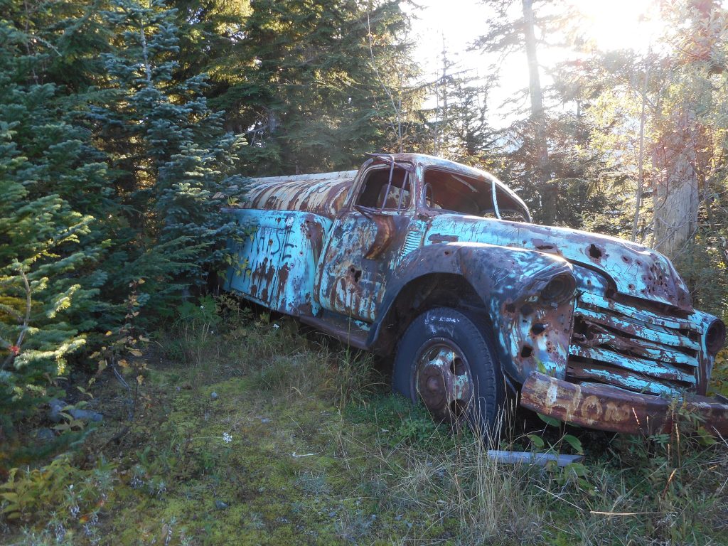
We hit the trail at about 6:05 am – Derek has to get back in time to not be rushed getting ready for work – and our plan was to go up the Zig Zag Trail to Truck Summit and go down via NF9021 to Garcia and then west on Iron Horse Trail.
But we did something more fun.
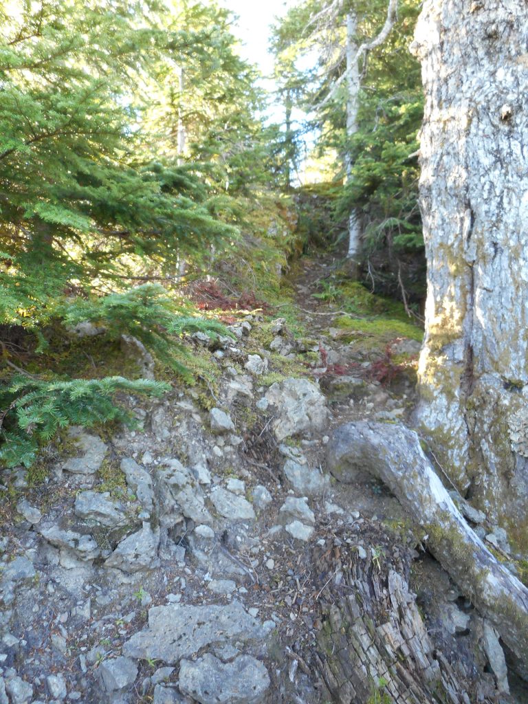
Derek discovered a bushwhacking opportunity traveling south from truck summit along a narrow (reminiscent of Low Mountain) ridge. We were following some kind of trail but looking at the GPS on the map we were a bit east of the former logging road. I think we were following a mountain goat and coyote trail, given how much of their scat, and fur, we found along the way. In either case we definitely want to go back and explore it more thoroughly.
Here is what the “trail” looks like:
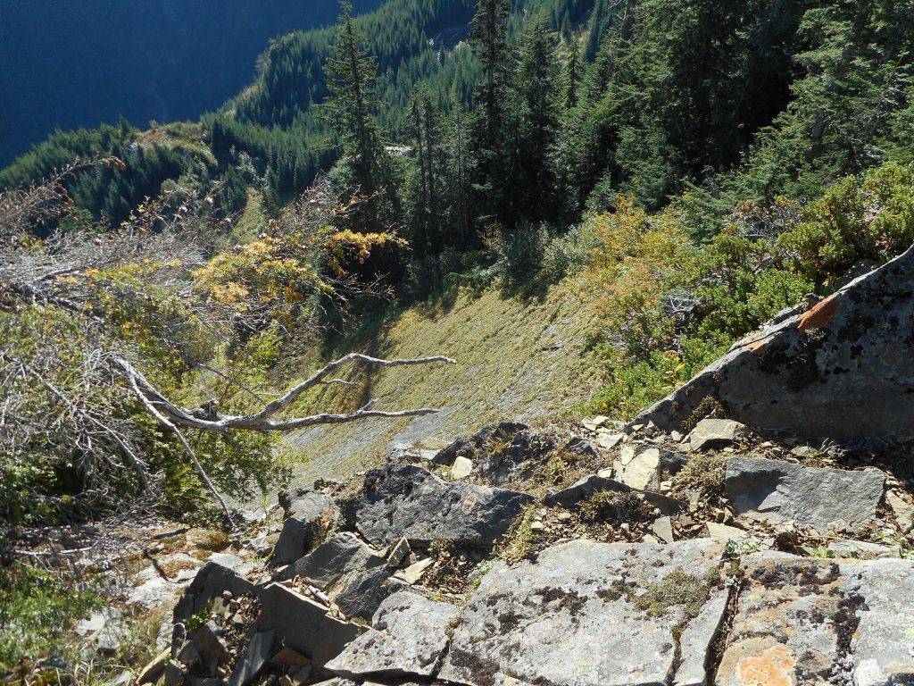
There are quite a few very interesting little spots that let you look straight down the side of a cliff:
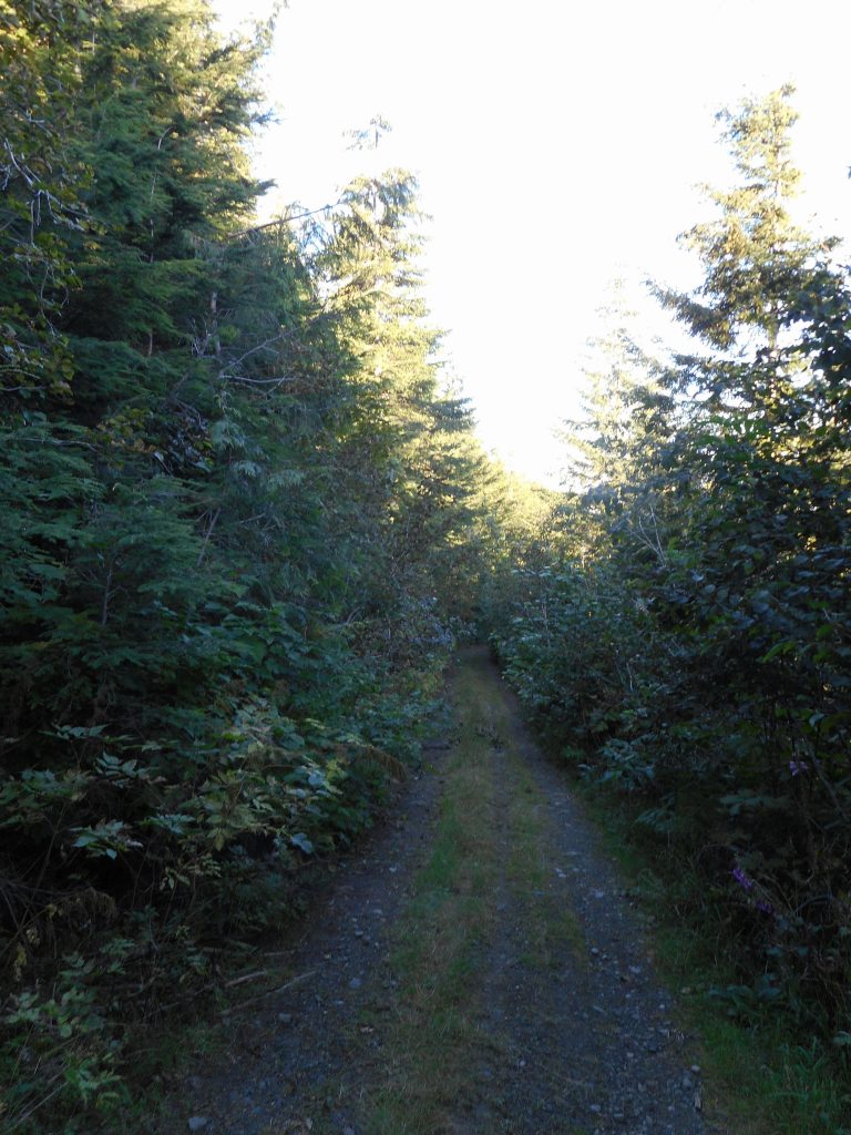
We went a little ways (see visualization below) and turned around. There are plenty of nice views along the trail to Truck Summit – the trail is actually a former logging road (presumably, how the truck got there in the first place) and is very easy to deal with:
This part of the trail is like the Great Wall trail, except you are looking west (at the Great Wall Trail) instead of east:
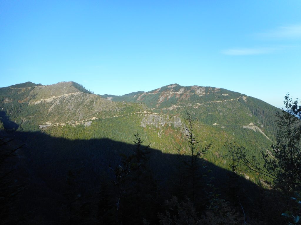
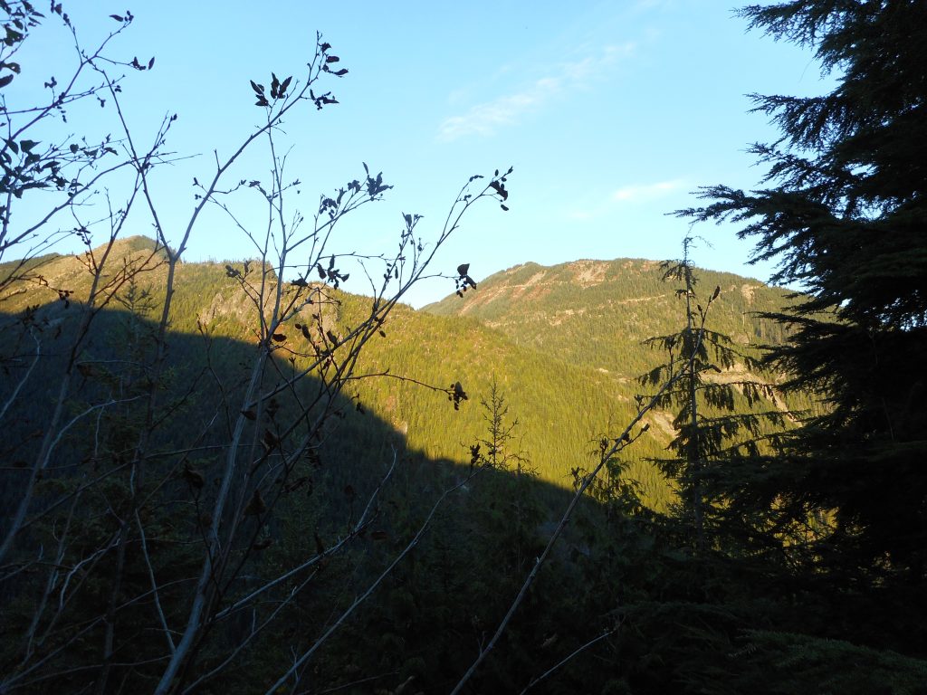
On the way up Zig Zag we looked west towards where we were to see the Perseids in August:
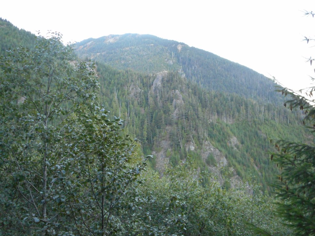
6.5 miles, 3K elevation, 5 hours, Derek was home by 11:30. Sweet!
Visualization right here; note how we were slightly east of the former logging road. Interesting.
http://adventures.garmin.com/en-US/by/djhiker/truck-summit-via-zig-zag-with-derek-9-15-2016/#.V9sCJJWV8bw