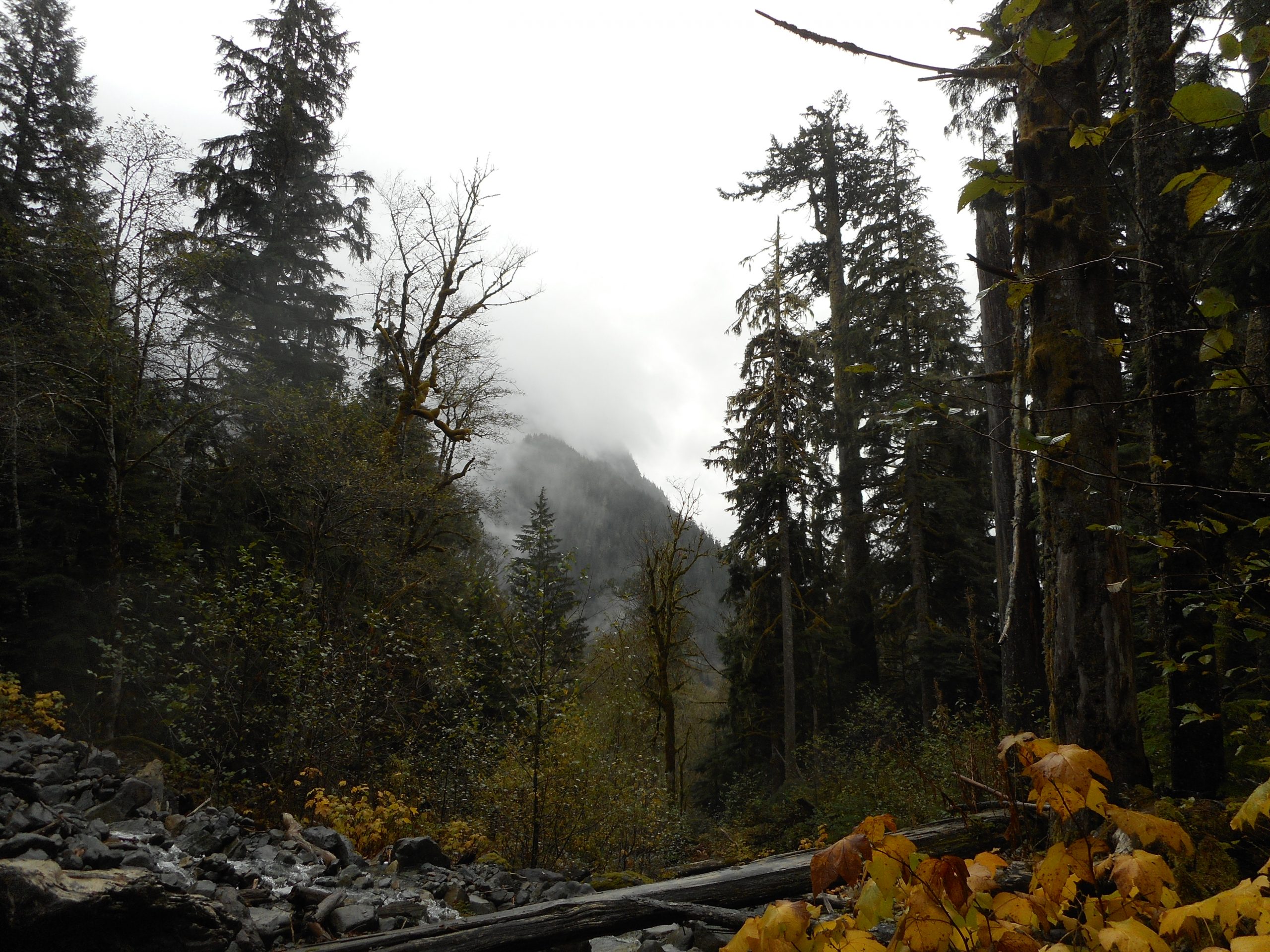
My plan today was to drive out to the Middle Fork area and find the beginning of the alternate (more commonly used) path to the summit of Quartz Mountain. I parked the car and doh! In my haste to get out the door I had forgotten to bring any water. A dumb mistake.
I thought I would try a bit of it anyway but after about .75 mile I realized I had not quite gotten it right. Mistake number 2: I relied on a dim memory of someone else’s track rather than getting my bearings via Gaia right away. I realized the way to go was to park where I had parked but walk up FR56/SE Middle Fork Road a few hundred yards to where the CCC road goes the other direction.
Now I know. But I sure drove a long way only to hike a short distance, just a bit less than 2 miles. Live and learn.
Along the way there were a few little stream crossings including this one:
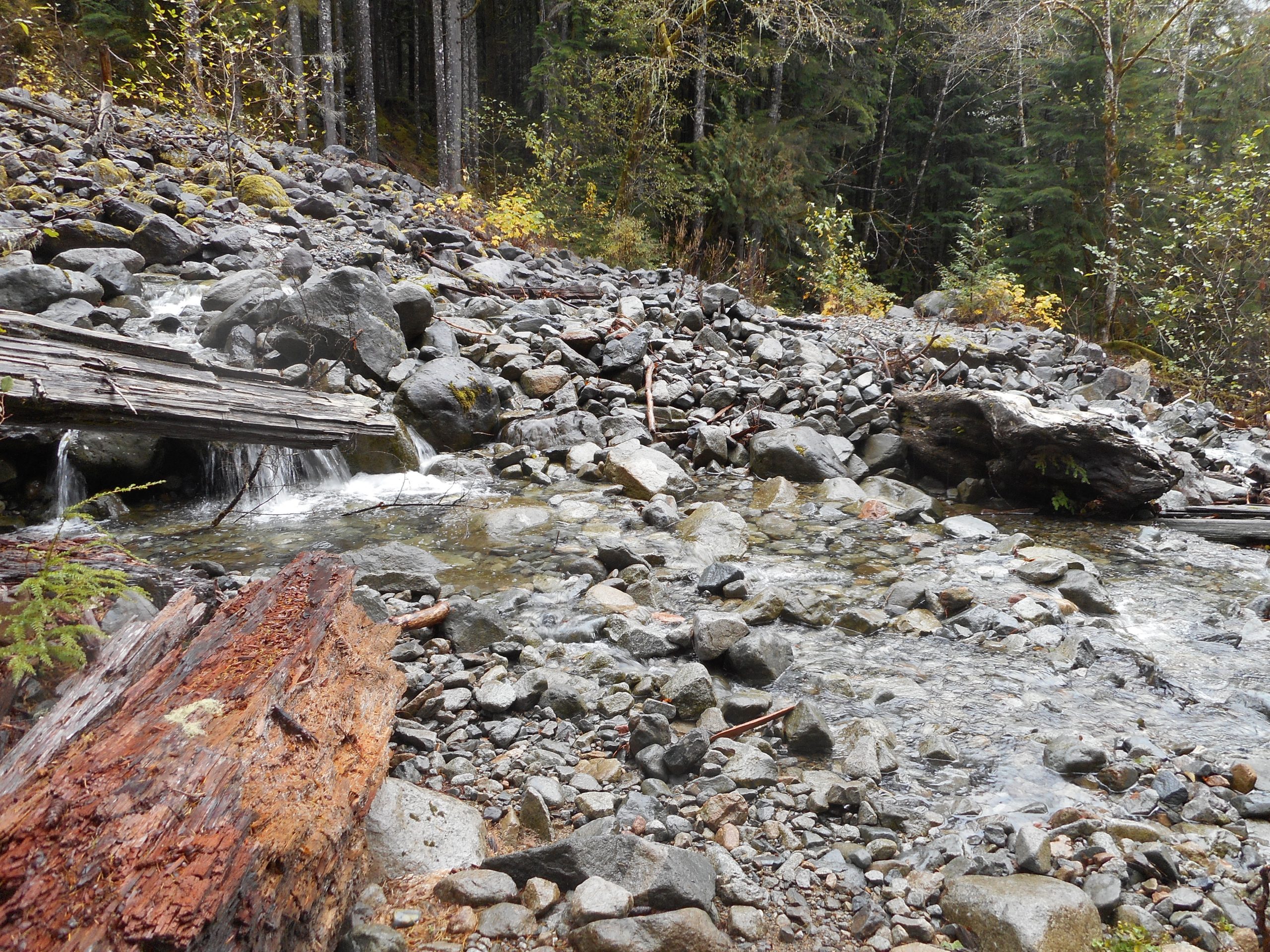
And right after I took that picture a rock I was hopping on turned out to be unstable and I got my feet soaked. Serves me right. But I will go back (tomorrow or the next day) and find that route.
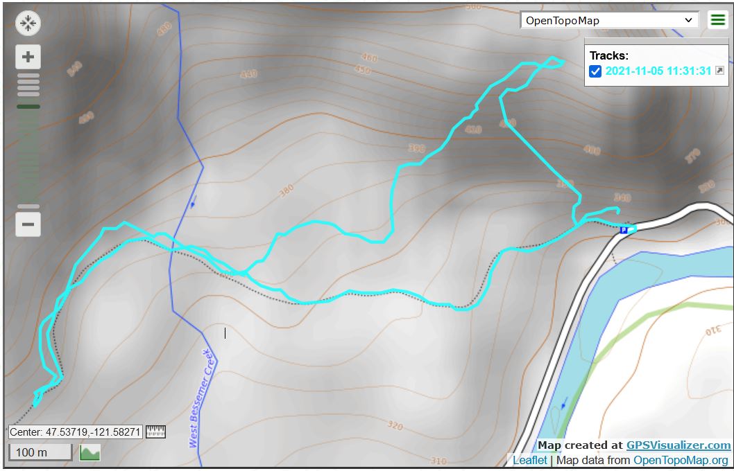
The track, which looks wrong to me. It appears as a loop but I went out and back via the same route. Strange.