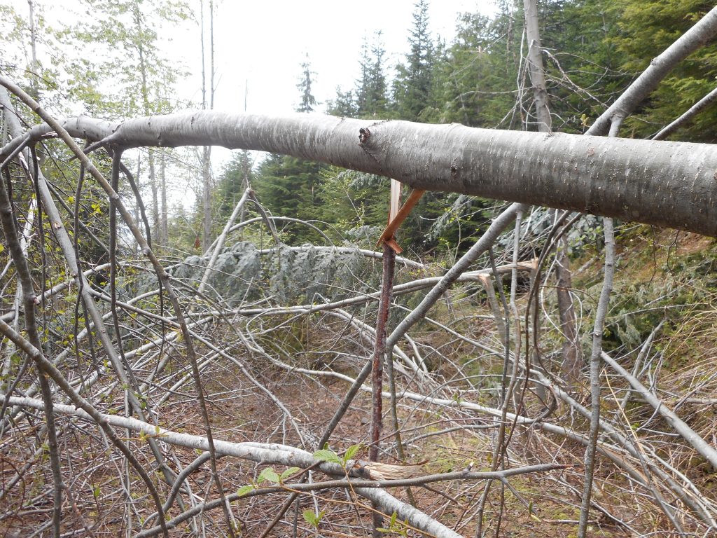
This was a tough hike. We went up the Zig Zag trail to the junction with the forest roads. You can go left on the immediate road and go back down (eventually) to IHT at Garcia, or cross the road (they are, as you can see in the photo above, not exactly roads in the sense we are used to experiencing, they are decommissioned forest roads) and go up to Truck Summit. Or you can do what we did, we went right, expecting to summit Chester Peak at least.
Boy, were we wrong. We were stymied by four miles of the worst blow downs you can encounter. We were making progress at far less than a mile per hour. We had to zig and zag (ironically) across the trail to find little areas where we could squeeze by.
It was not fun but at least I got this area mapped.
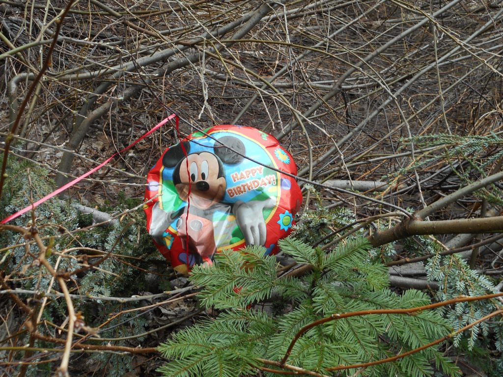
Along the way, pretty much in the middle of now where we (Mark Garrett and I) found an escaped party balloon. So that’s where they go!

I think Mickey was laughing at us for doing such a tough hike, a hike that looks like a piece of cake on the map.
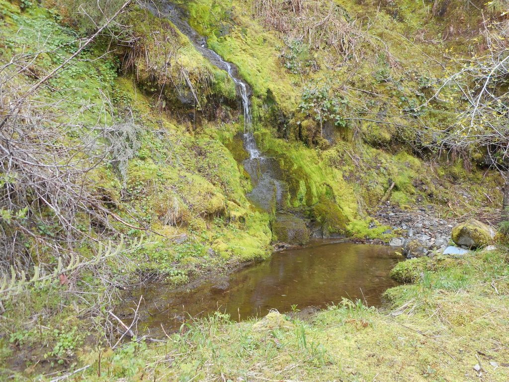
We did run into some interesting sights along the way:

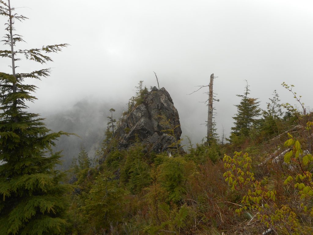
And this very very cool giant rock:

If Derek is reading this I can tell you we now know what happens when you go past J’s Landing. The trail is steep and narrow but pretty good until it looks like it is gone. At that point you bushwhack up a steep slope where you pick up the trail again.
Anyway, here is the visualization:
http://adventures.garmin.com/en-US/by/djhiker/zig-zag-and-beyond2/#.VyFHbpXlurQ
For some reason part of an earlier hike got into this track but the big loop to the east is what we did today. About 8.3 miles that felt like 20 miles with all the blow downs.
I just hope some trail angel cleans it up. Without all those branches and trees across the trail this would be a wonderful hike.