I did a solo hike today, up Zig Zag Trail and down the service road that intersects IHT at Garcia, then west on IHT back to Hall Creek Connector.
Just over 7 miles, just under 4 hours, a nice workout on a great day.
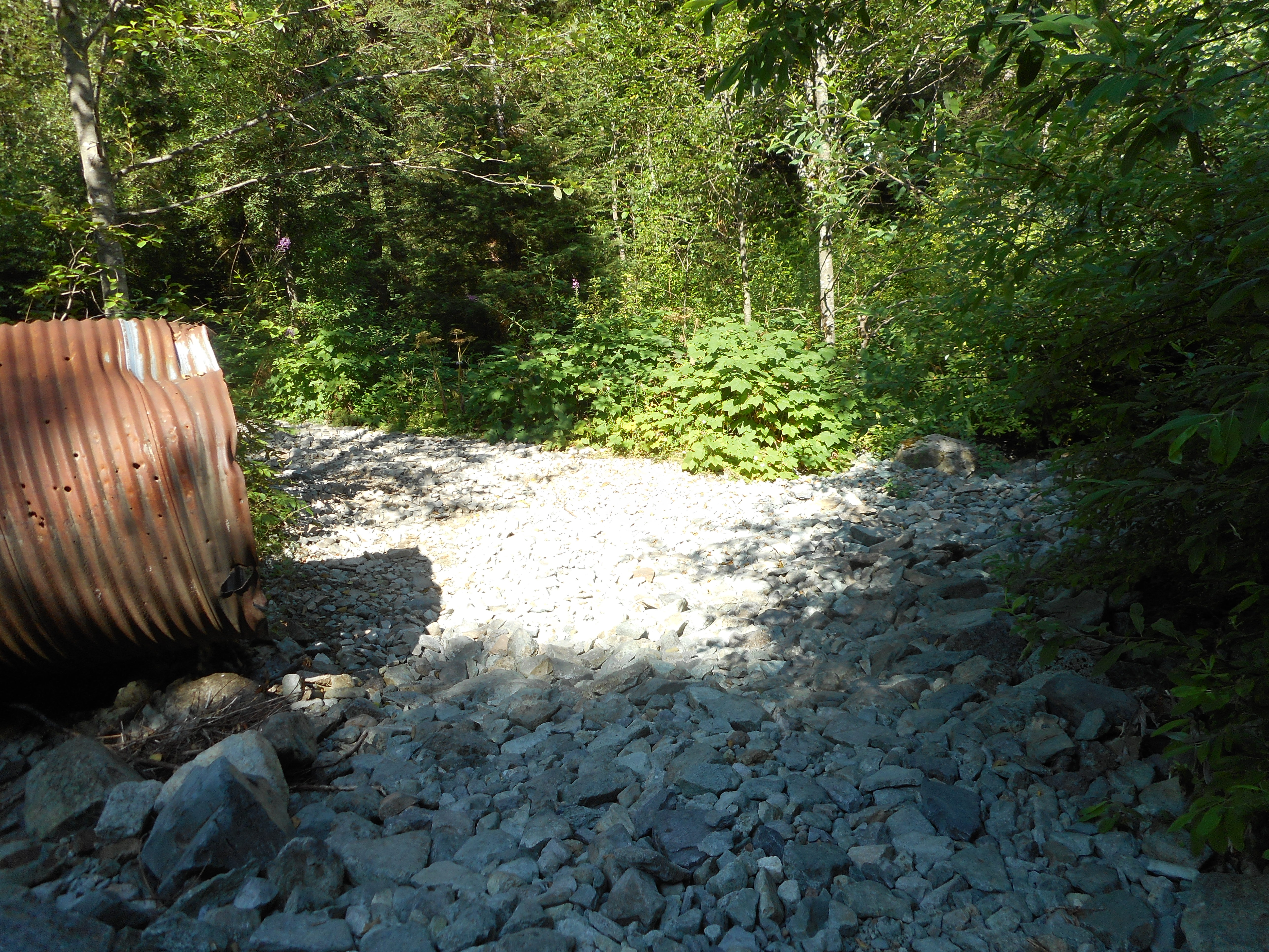
I went over the bone dry Mine Creek, where a few months ago the water was so high I was worried I might get swept away when I crossed it.
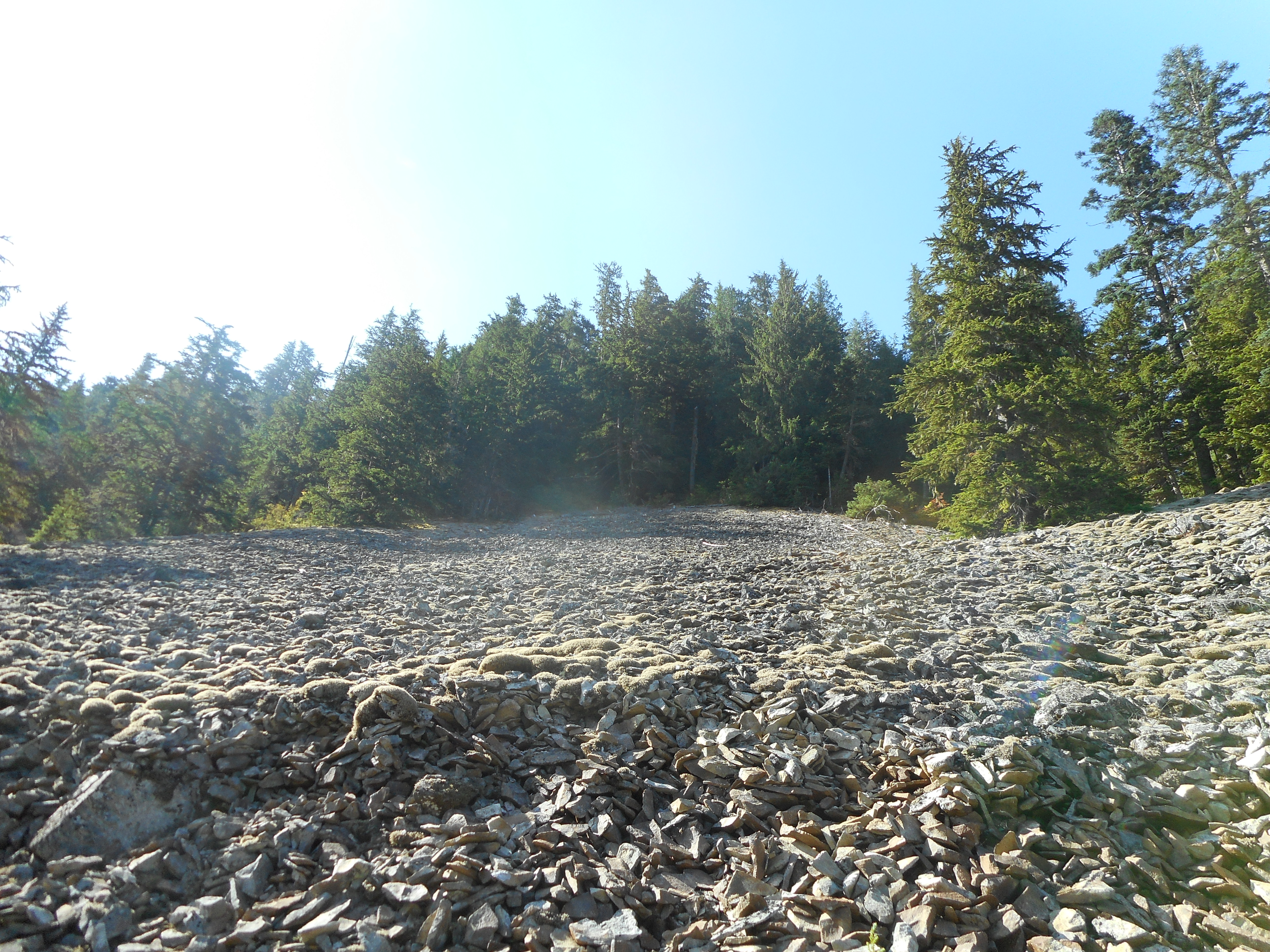
And there is a section I would completely avoid in the winter, the avalanche danger would be extreme but again, right now just a very steep talus field.
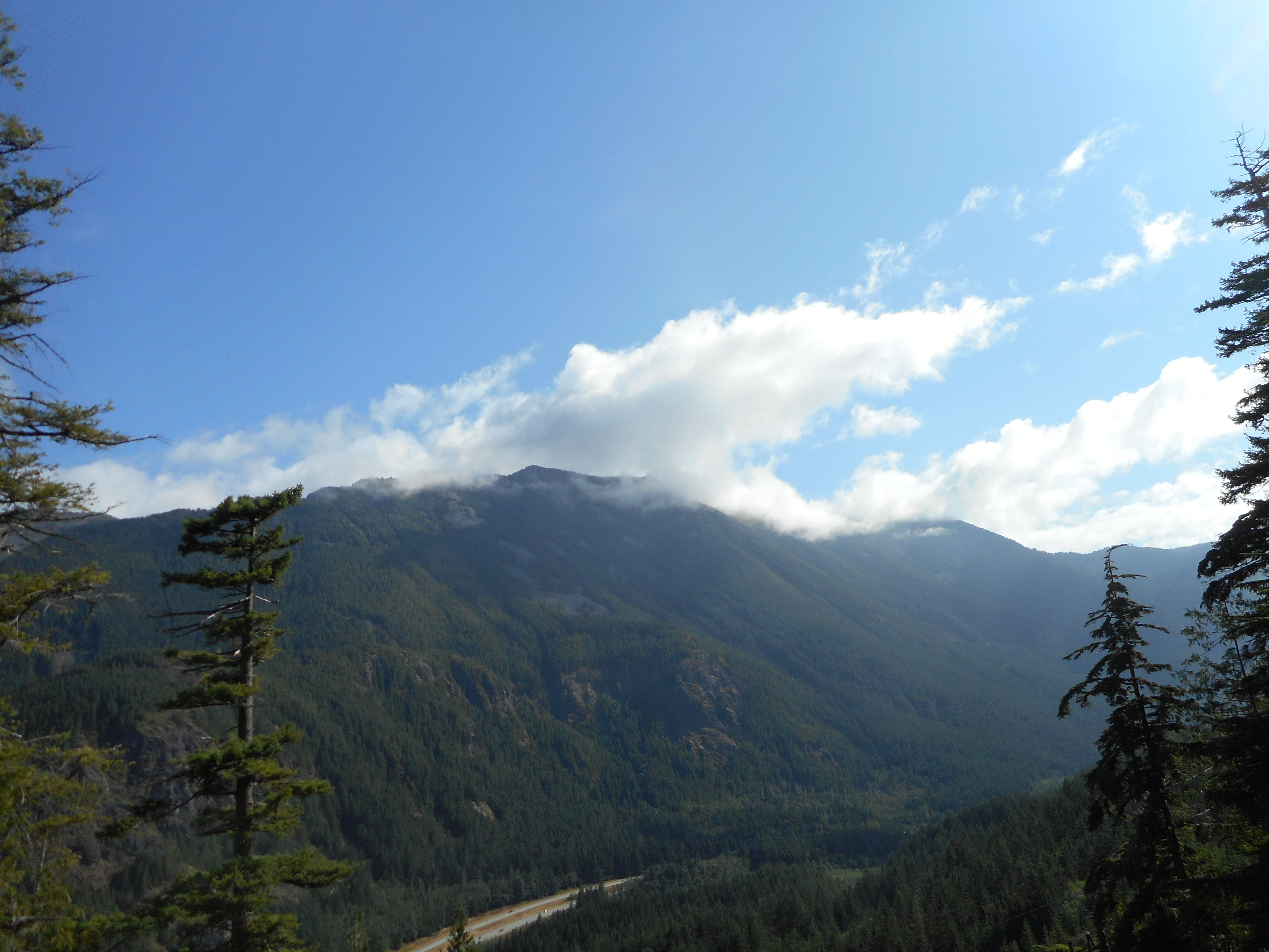
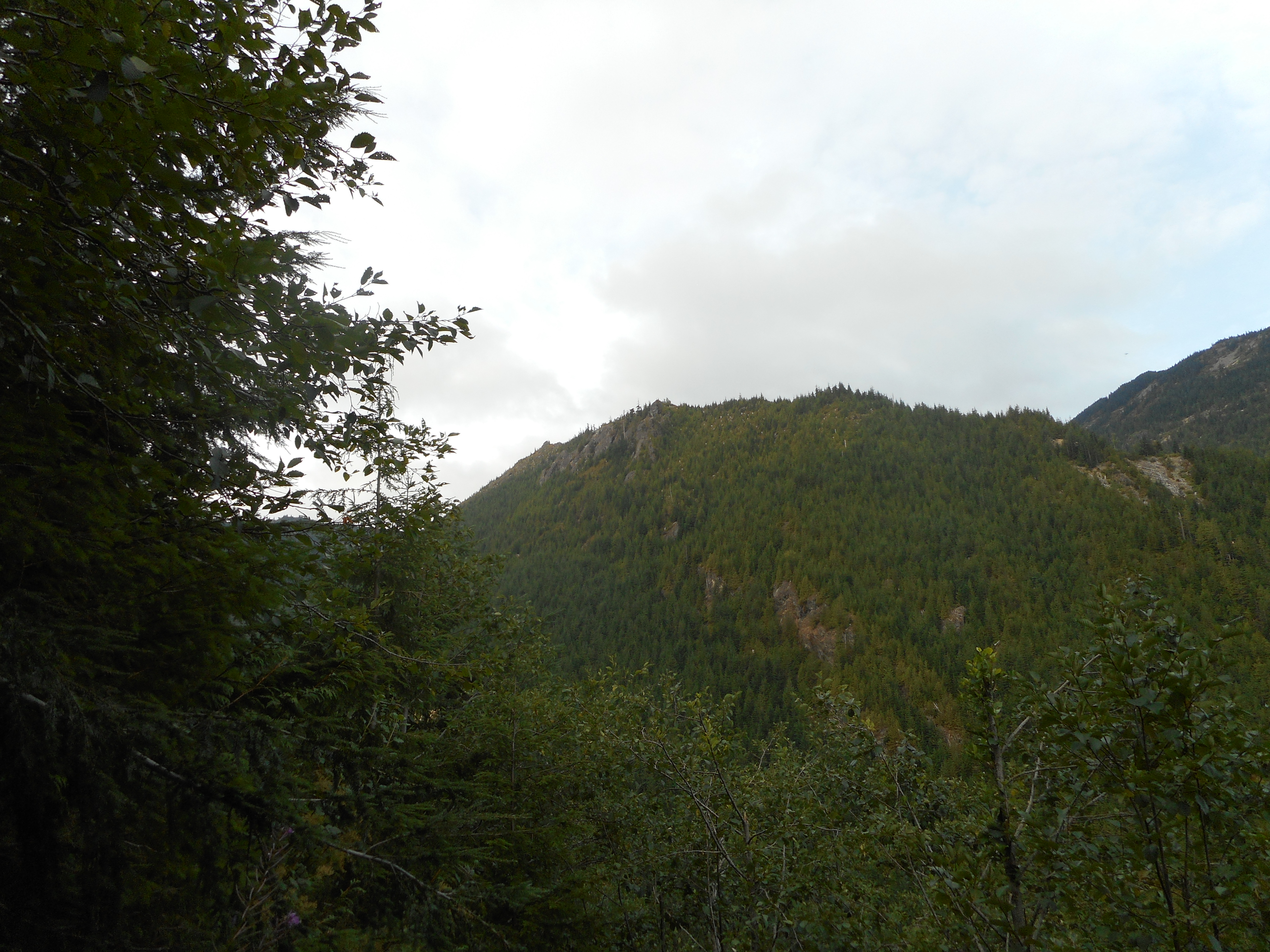
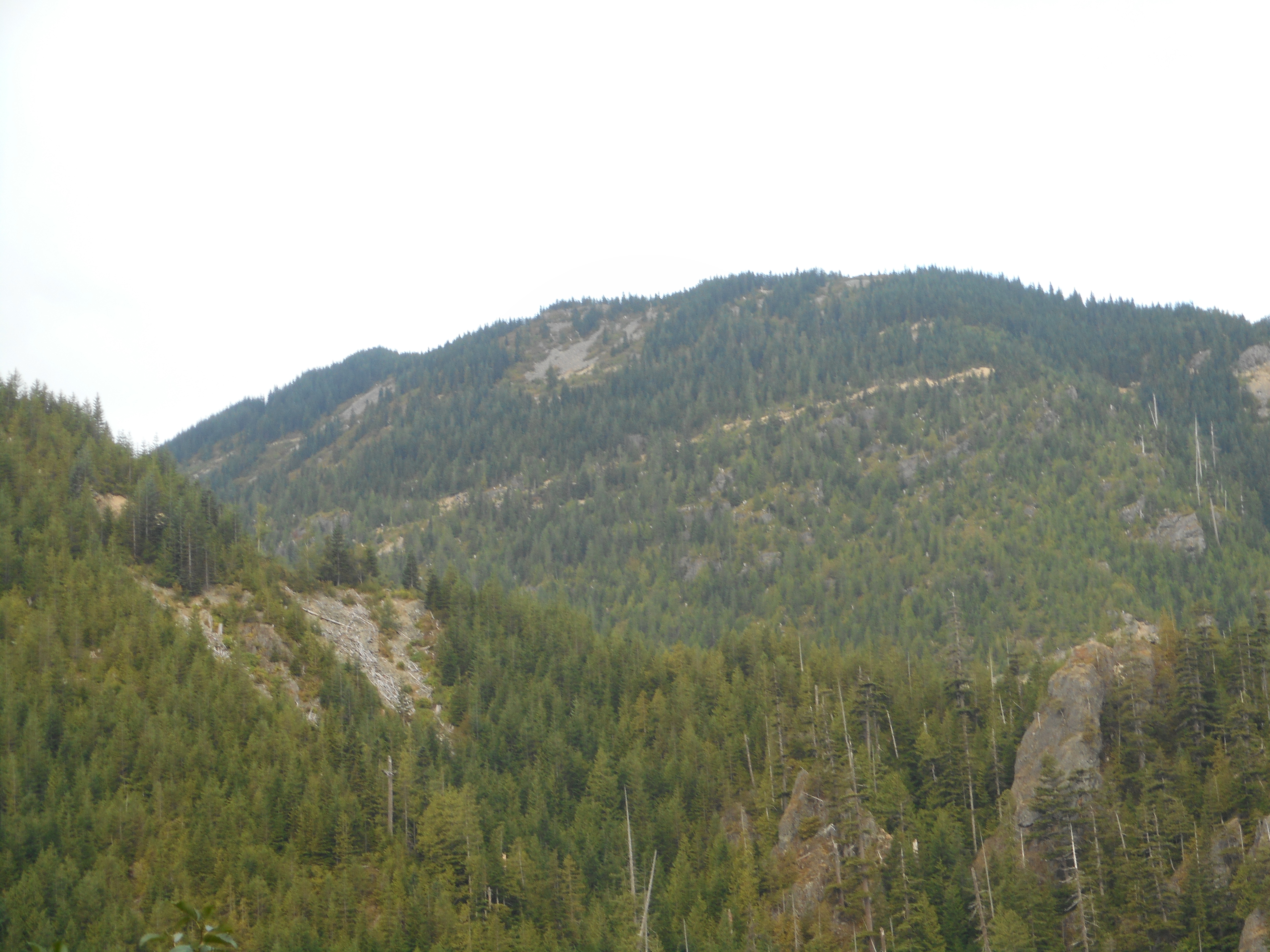
I like being able to look at hiking landmarks from other perspectives.
Musical weekend – ‘Madama Butterfly’ last night, Tom Petty tonight.
The track:
https://adventures.garmin.com/en-US/by/djhiker/zig-zag-trail-8-19-2017#.WZihfMaQypo